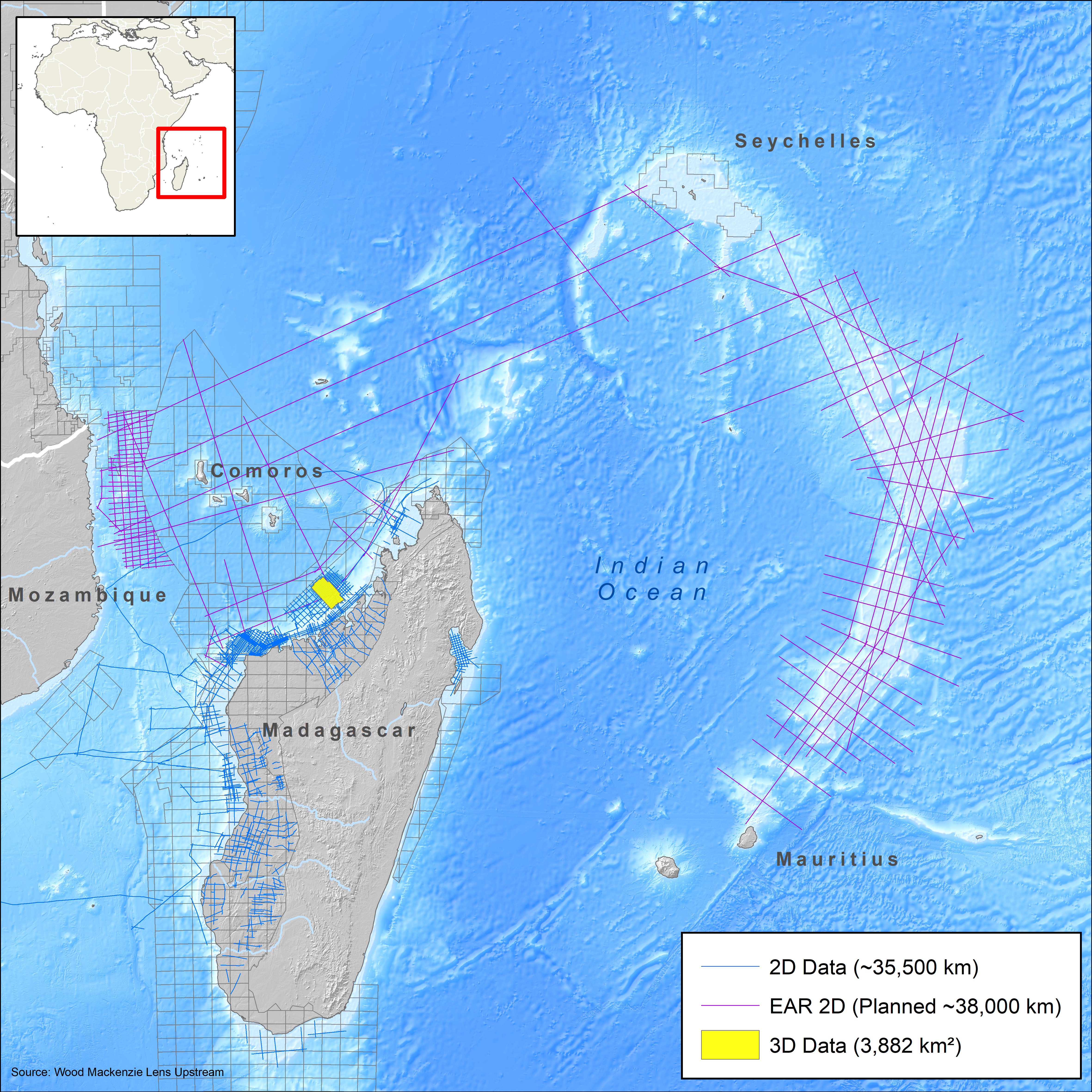
East Africa Regional Survey
Explore the East African frontier with long-offset 2D seismic
This survey will help explorers to better understand the petroleum potential of underexplored areas offshore East Africa by investigating the nature of the crust between the African continent and Madagascar, as well as exploring the rifting history in the region. It will intersect a number of key wells in the region and provide structural constraint to the imaged data.
Highlights
- Long-offset 2D multi-client seismic data linking recent discoveries
- Spanning the Rovuma and West Somali Basin and Comoros Islands, Ambilobe and Majunga Basins offshore northwest Madagascar, and extending out across the Indian Ocean
- Advanced broadband imaging workflow for increased resolution to improve sedimentary system characterization and provide deep imaging to describe deep crust nature
Request a Shapefile
Learn more about our multi-client library coverage. Request a zipped shapefile (.shp) for your region of interest.
Related Technology & Surveys
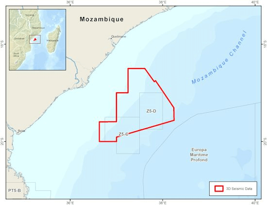
Mozambique
Identify new opportunities with 3D multi-client seismic and geological data for the Beira High in the Zambezi Delta.
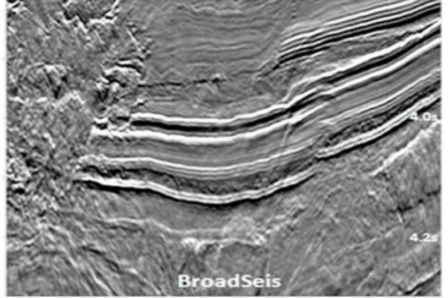
BroadSeis
Identify reservoir attributes with highly detailed broadband subsurface images that enable enhanced deep penetration.
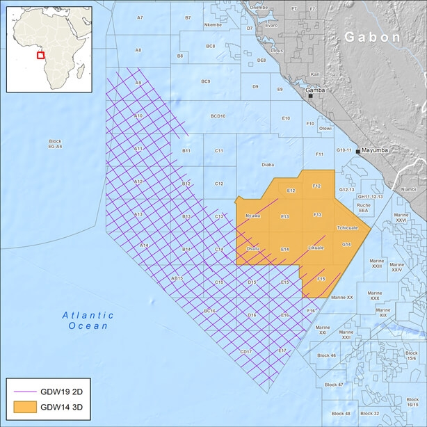
Gabon
Explore Gabon’s prospective South Basin with 3D broadband multi-client seismic data and complementary long-offset 2D data.
Explore available multi-client data using our interactive map.
Explore the GeoStore