InSAR Satellite Monitoring
Surface deformation intelligence: Reduce risk, improve planning and strengthen resource management
Our cutting-edge InSAR Satellite monitoring solutions provide remote knowledge on the location, extent, magnitude and evolution of surface deformation. As a direct measure of the surface deformation impacts of surface and sub-surface activity, our InSAR Satellite solutions reduce operational risk with respect to health and safety, environmental impact, hazard mapping, risk assessment, and legal compliance. As an indirect measure of sub-surface conditions, our solutions support improved planning and optimal resource and project management.

Why choose InSAR?
- Unique capabilities: Remote, high-density measurements with millimetric accuracy
- Look back and forward: Historical assessments and baselining, long-term monitoring and rapid turnaround results
- Scalable: Regional, single-site and multi-site monitoring
- Powerful and versatile processing: Advanced processing algorithms and workflows exploit persistent, temporary and distributed radar scatterers
- Vertical and horizontal: Multiple viewing geometries to resolve vertical and horizontal deformation
- Enhanced deliverables: Integrated data sets, surface models, visualizations and tailored information products
- Access and interrogation: Deformation time series, proprietary web-serving and software plug-in analysis tools, and compatibility with a wide range of geospatial software solutions
- Supporting technology: Artificial radar reflectors, integrated surface deformation geo-monitoring
Multi-Sector Experience
We deliver InSAR Satellite solutions that address a wide variety of challenges encountered by a diverse range of clients, including oil and gas operators, mine operators and regulators, geothermal operators, energy companies, engineering firms and infrastructure operations, property experts and insurers, niche consultancies, legal teams, public bodies, government departments, and local authorities.
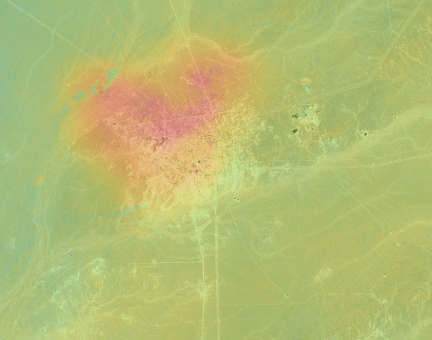
Onshore exploration, development, oil and gas production (primary and enhanced recovery: e.g., CSS, SAGD)
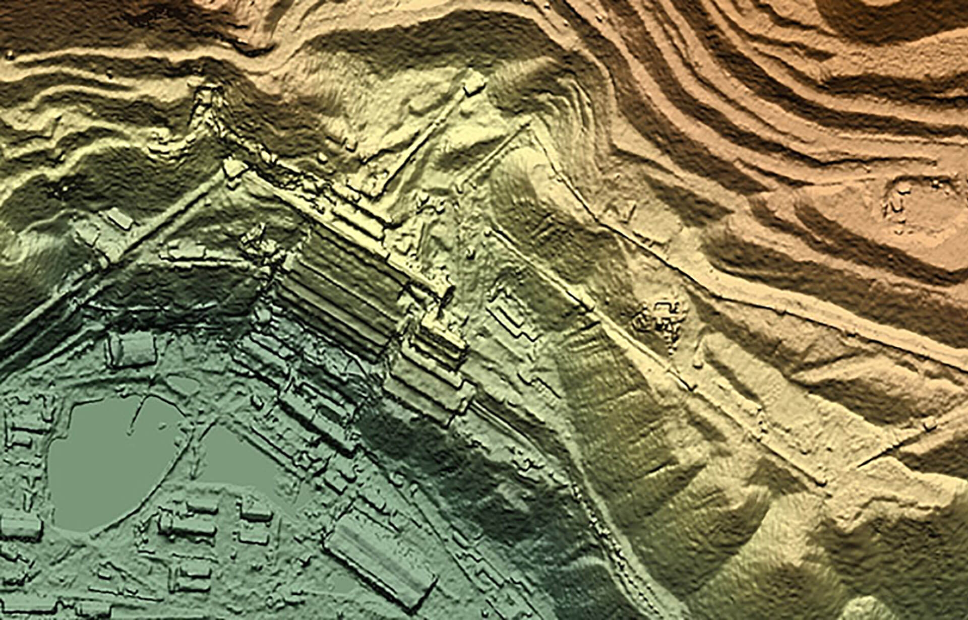
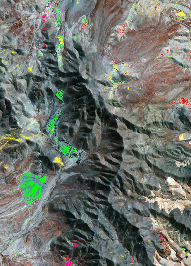
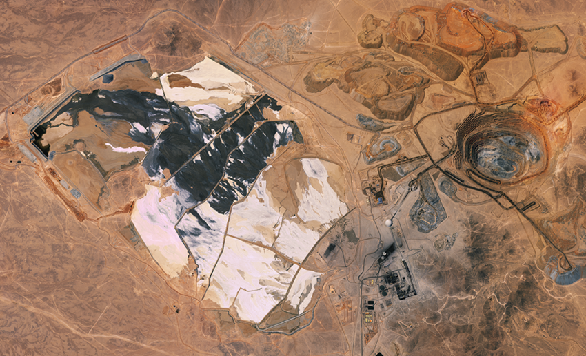
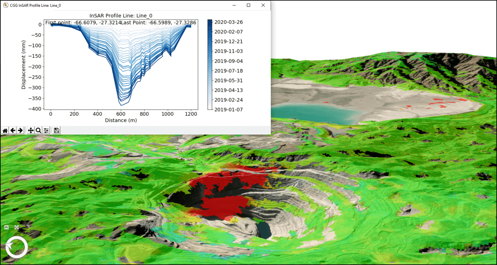
Mine subsidence, pit slope stability, tailings, heap-leach pads, waste and stockpile stability, abandoned mine system recovery
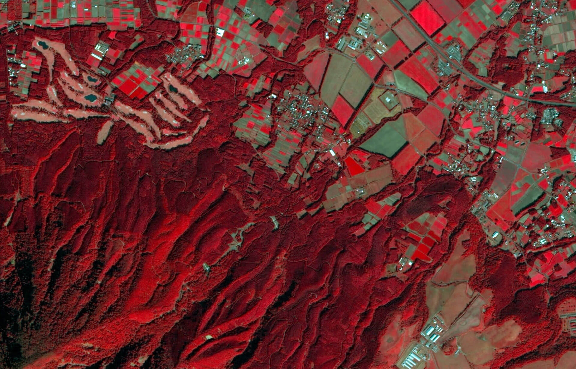
Landslide movement, earthquake impacts, neotectonic activity, sinkholes, mud volcanoes, coastal stability
Site assessment, production monitoring
Gas storage sites, strategic hydrocarbon reserves, carbon capture and sequestration (CCS)
Baseline assessments, tunnel construction settlement, reclaimed land settlement, power stations, pipelines, dams, terminals
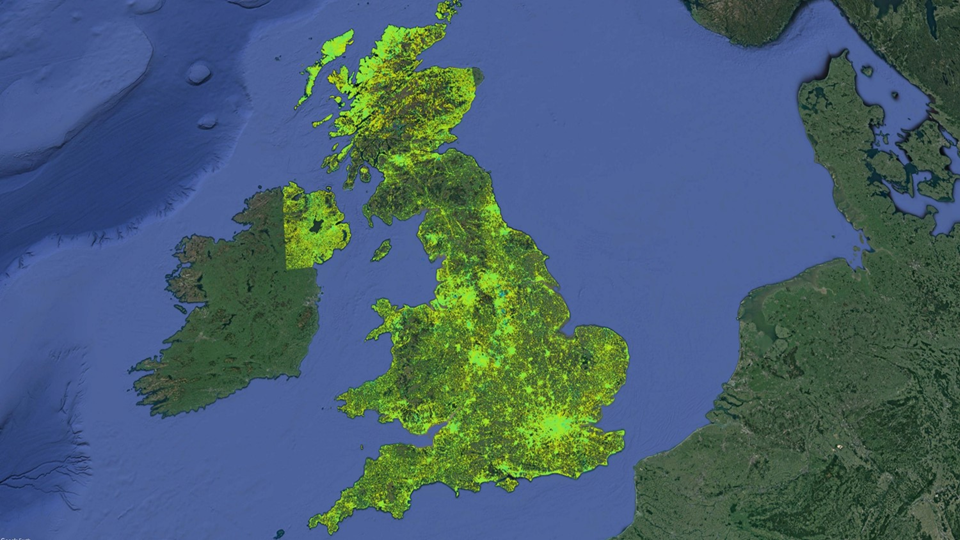
Baseline assessments, construction settlement, property ground hazards and subsidence. In the United Kingdom, our national MotionMap UK multi-client database is immediately available to provide insight on past and present surface deformation phenomena.

World-leading expertise
Our team of expert geoscientists have been at the forefront of the development, design and provision of satellite InSAR solutions since 1995, making us the longest-running commercial provider of InSAR solutions.
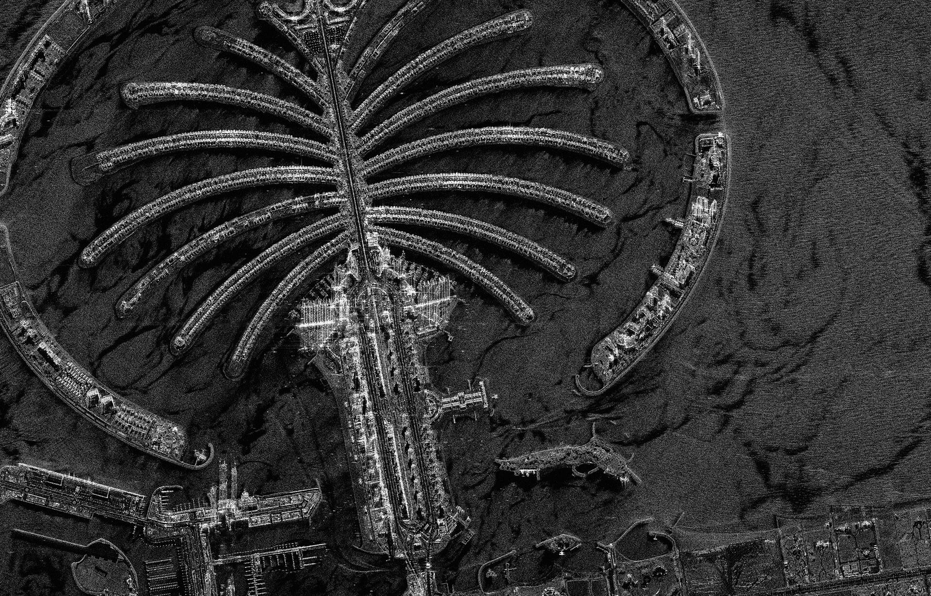
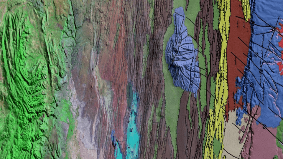
From deserts to major cities and remote mine sites, our solutions are used to study surface deformation resulting from natural and anthropogenic activities in diverse operational environments. Understanding the unique requirements of a project is essential to implementing an appropriate satellite InSAR solution, and transparency on the capabilities and limitations of InSAR technology is central to our philosophy. We work closely with clients to understand their project requirements, which ensures we implement solutions that are fit-for-purpose based on the optimal combination of radar image parameters (wavelength, resolution, temporal frequency, viewing geometries, etc.), site environmental characteristics (ground cover, climate, etc.) and processing approach.
We use Synthetic Aperture Radar (SAR) images acquired by the entire family of past and present radar satellites, including: ERS-1 and -2, Envisat, Radarsat-1 and -2, JERS-1, ALOS PALSAR, ALOS-2, TerraSAR-X, COSMO-SkyMed and Sentinel-1.
Integrated services
Operational links to complementary expertise and solutions within CGG and beyond enables us to deliver integrated services that address broader client requirements and challenges.
- Expert consultants: Geophysicists, engineering geologists, mining engineers, reservoir engineers, surveyors
- Land survey: GNSS, precise leveling
- Modeling: Geomechanical modeling, reservoir modeling
- Geology: Integrated geohazard studies
- Seismic: 4D seismic, microseismic

Brochure: How leading miners are leveraging InSAR to enhance Tailings Monitoring and Management
Sign up to download