


- Home
- Geoscience
- Satellite Mapping
- Optical Satellite Imagery Optical Satellite Im ...
Optical Satellite Imagery
Access the highest quality images from unbiased experts
Our comprehensive, unbiased knowledge connects you with the best optical satellite imagery and processing options to fulfil your project requirements. Our status as an independent supplier for satellite operators around the globe guarantees comprehensive and impartial advice, every time. We supply and add value to visible and infrared satellite imagery with spatial resolutions ranging from 30 cm to 30 m and down to sub-daily monitoring capabilities.

Very High Resolution Optical Imagery
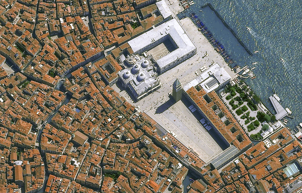
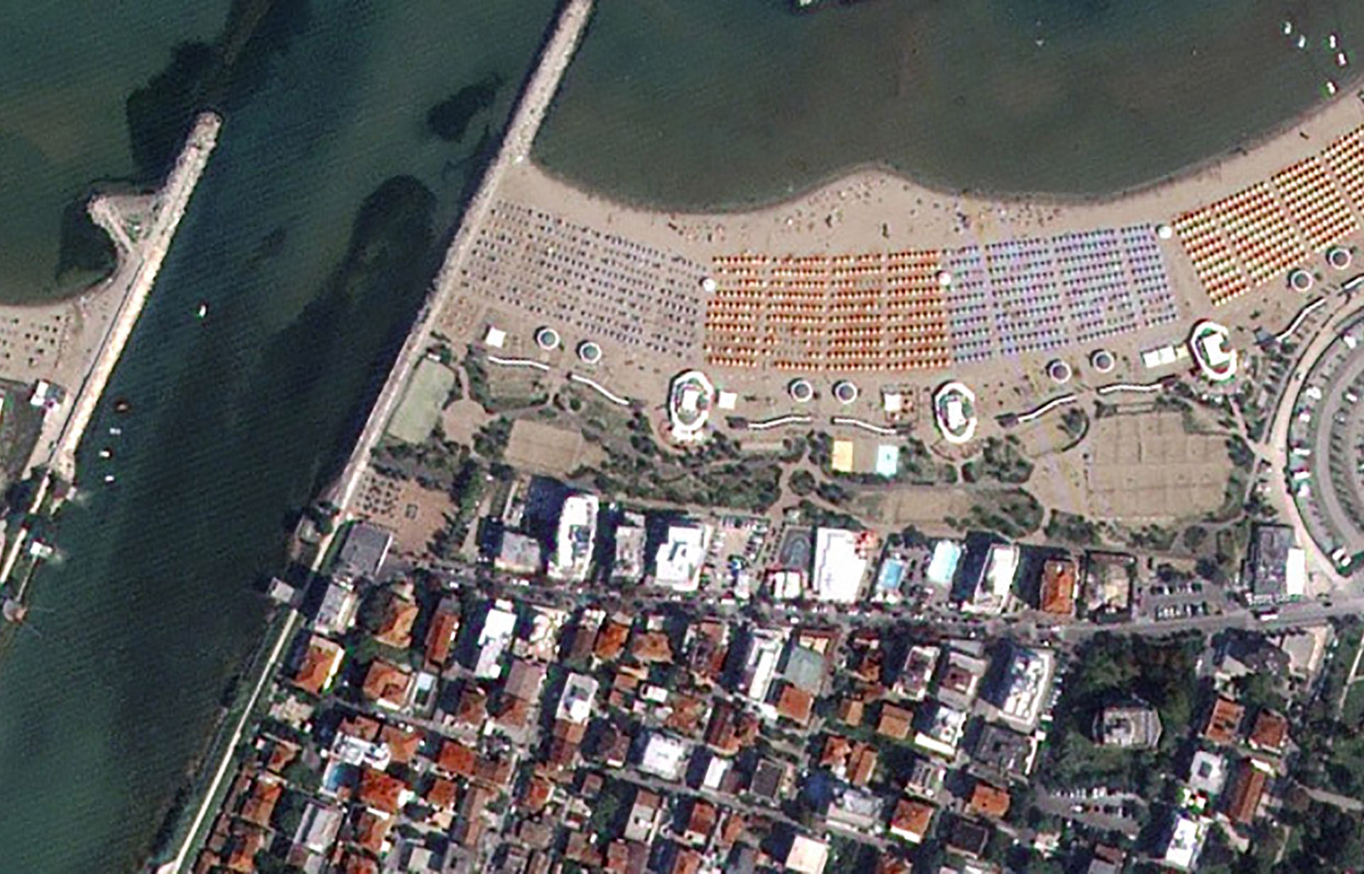
Pleiades Neo - Venice - ©2021 AIRBUS DS, All rights Reserved
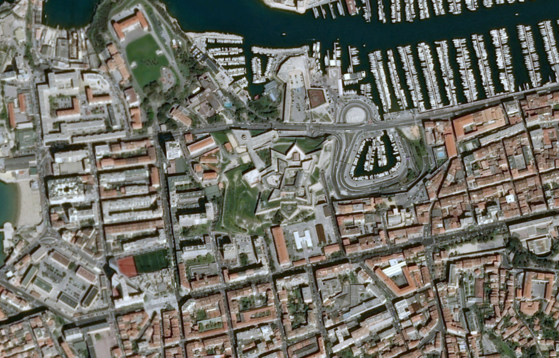
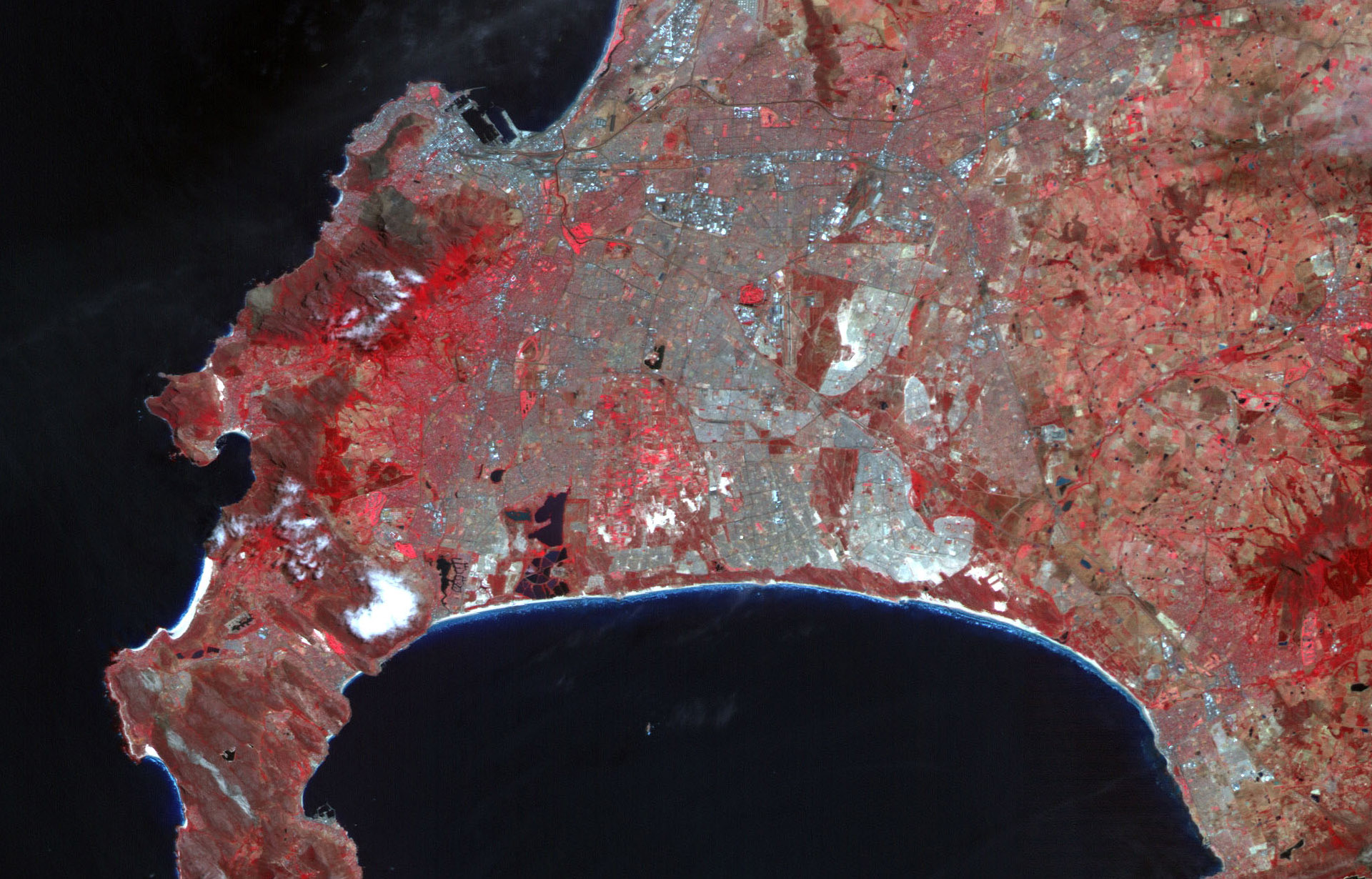
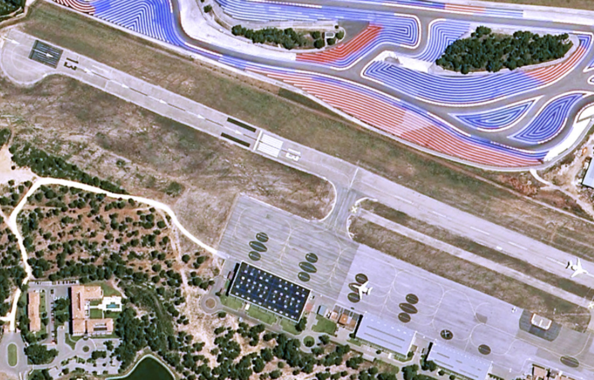
Pleiades - Marseilles - ©2013 CNES, Distribution AIRBUS DS
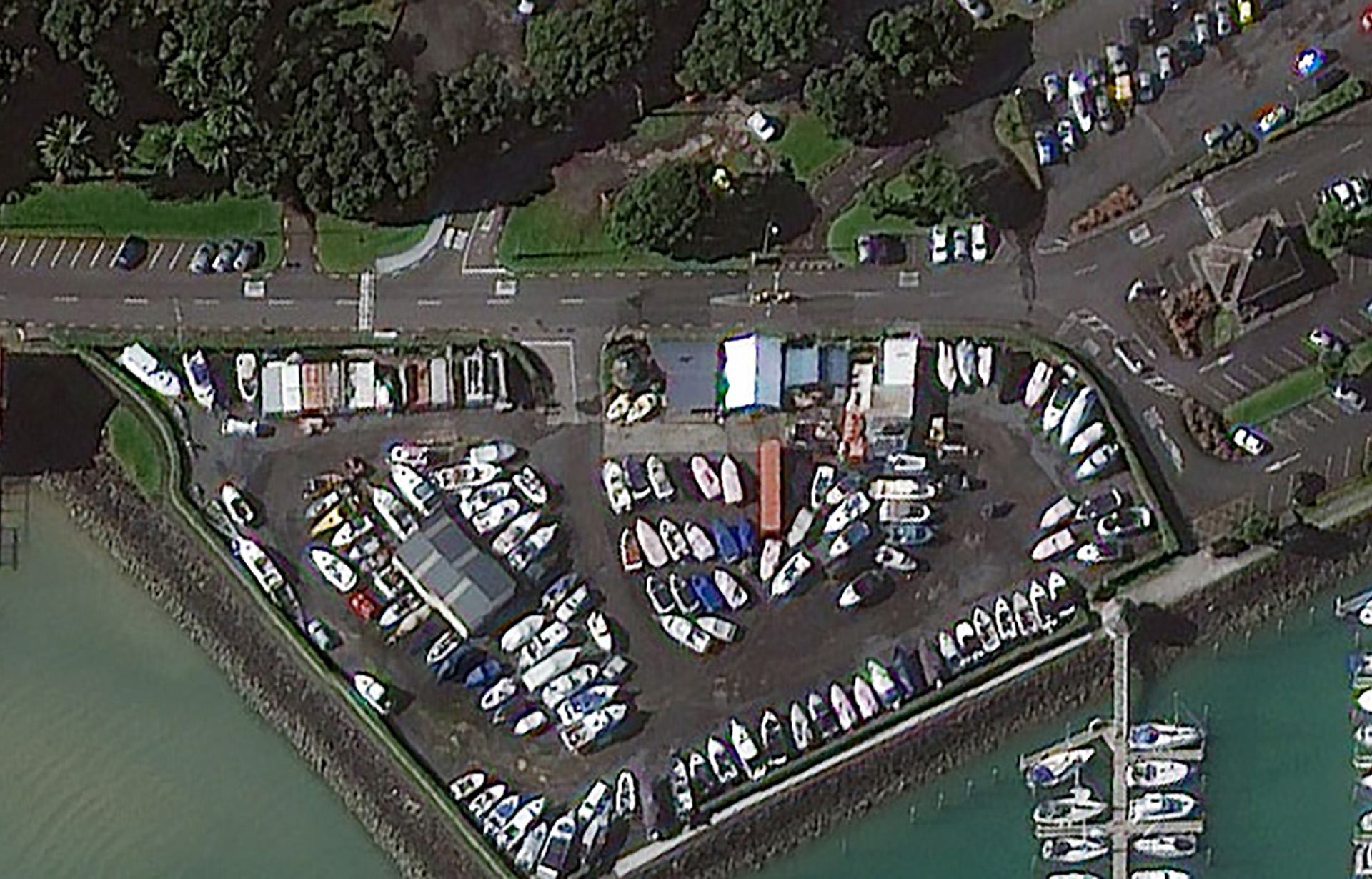
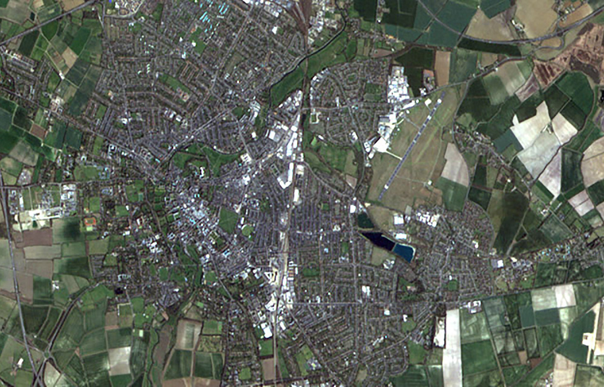
WorldView-3 - Auckland, New Zealand - ©2014 DigitalGlobe, Inc., a Maxar company
SkySat-1 - Shenzhen, China - ©2015 Planet Labs Inc, All Rights Reserved
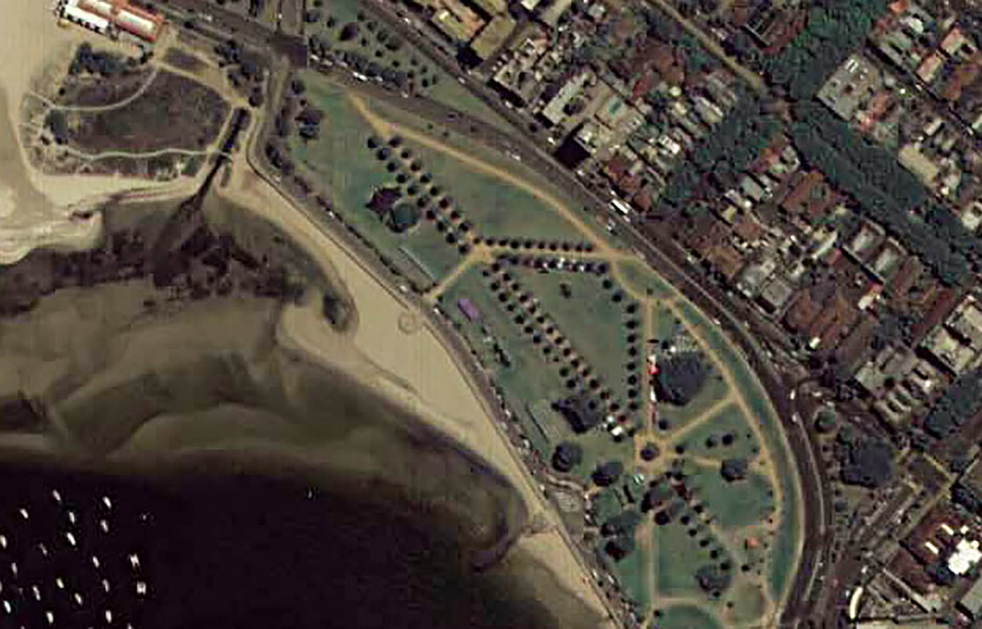
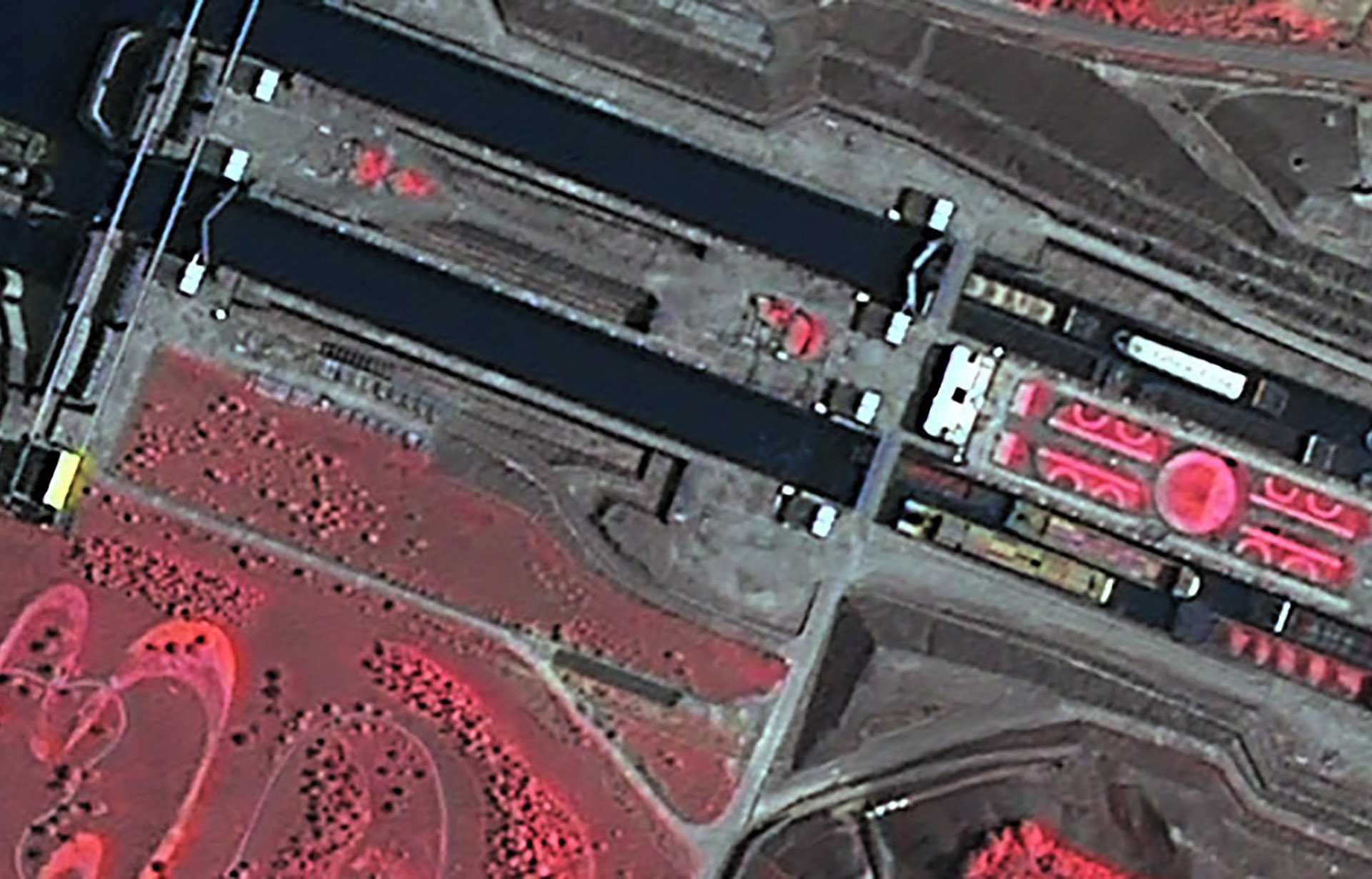
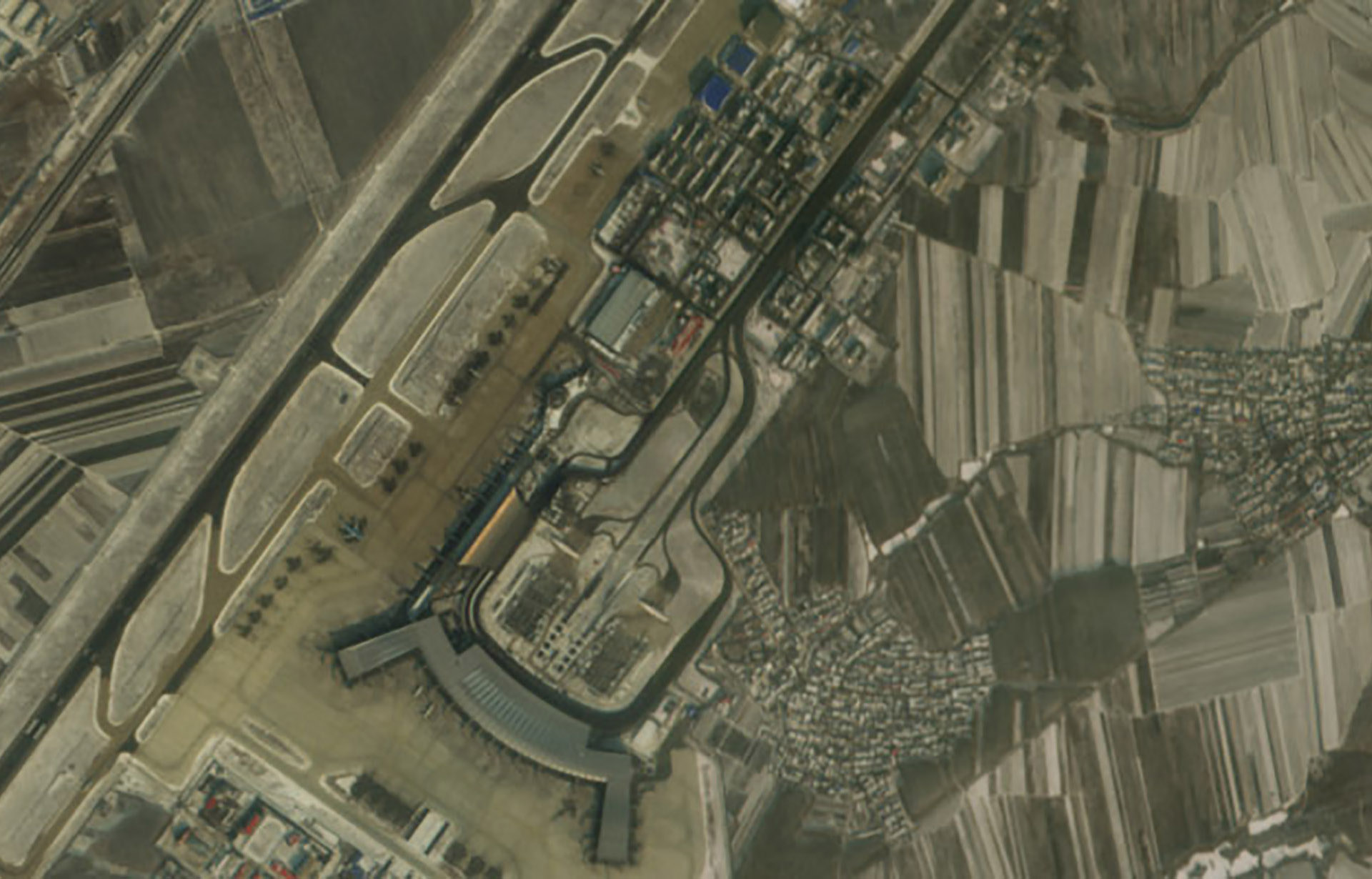
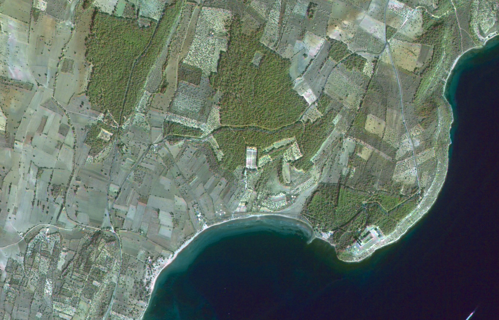
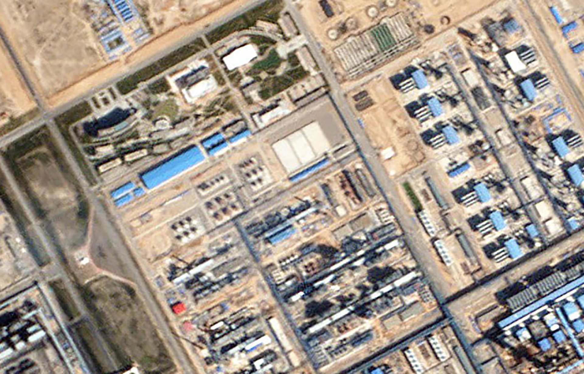
Cartosat-2 - Bodrum, Turkey - ©2008 Antrix
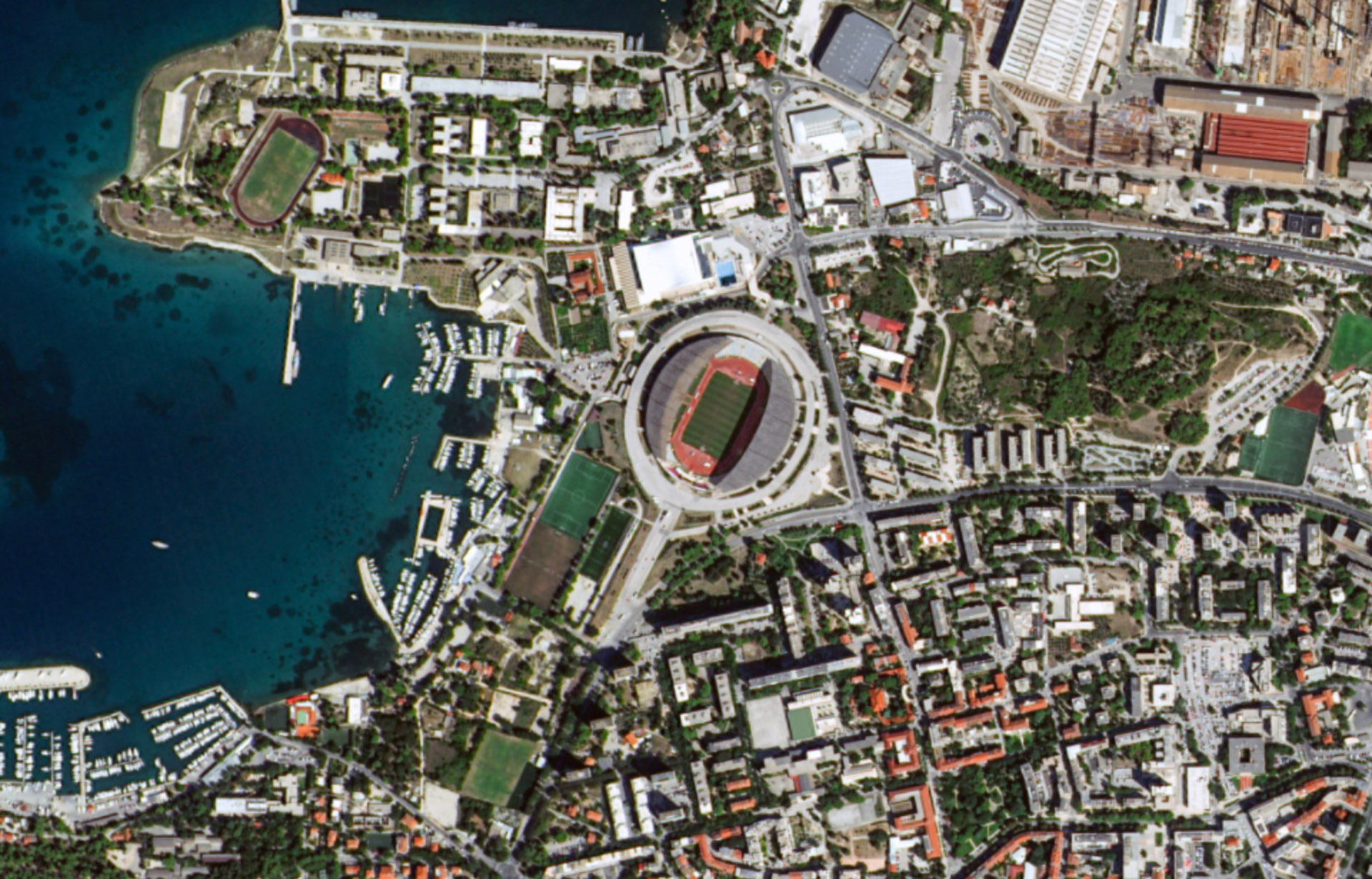
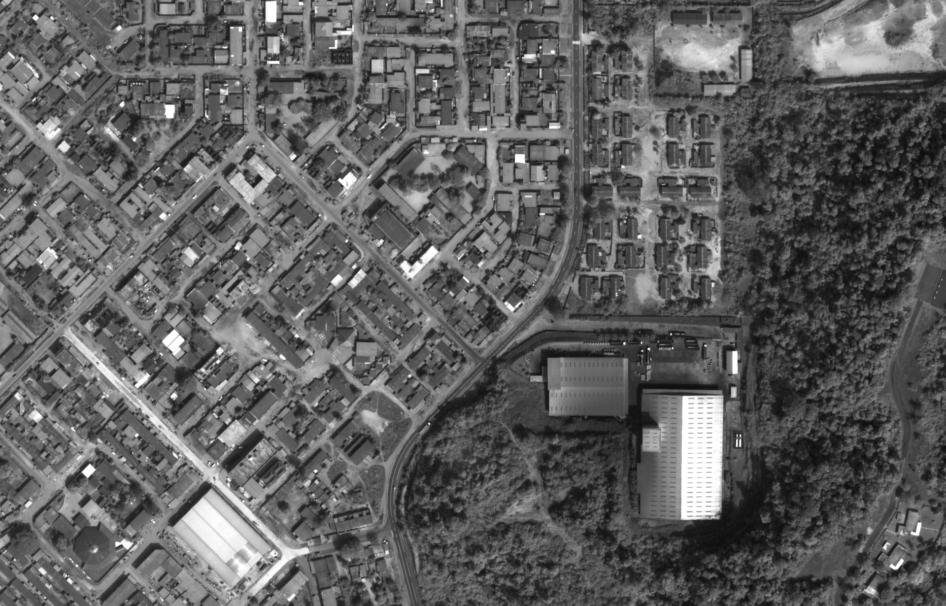
Vision-1 - Split, Croatia - ©2019 Airbus DS
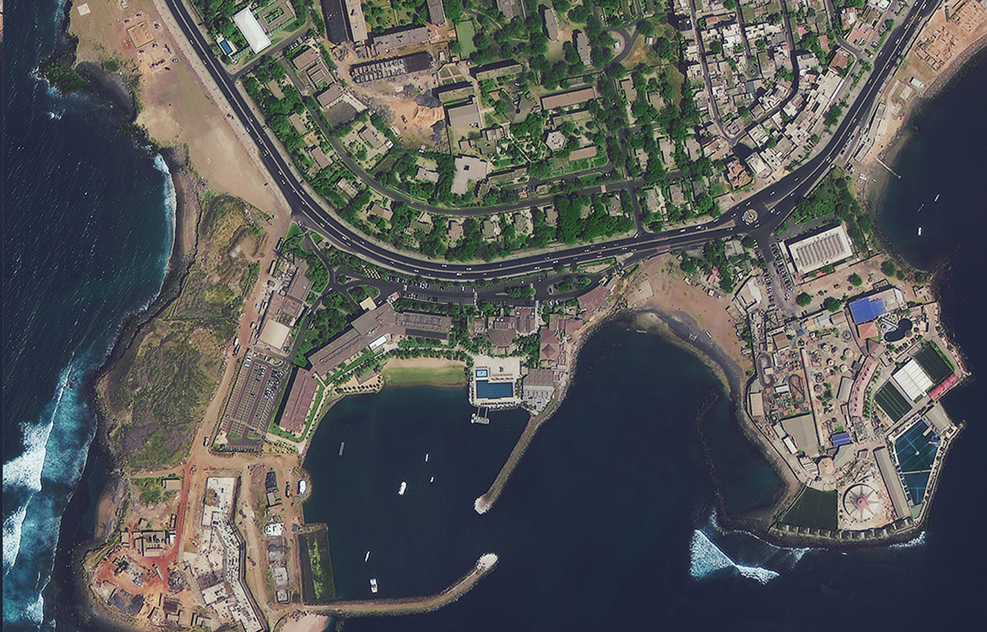
SuperView-1 - Dakar - Distributed by SPACEWILL
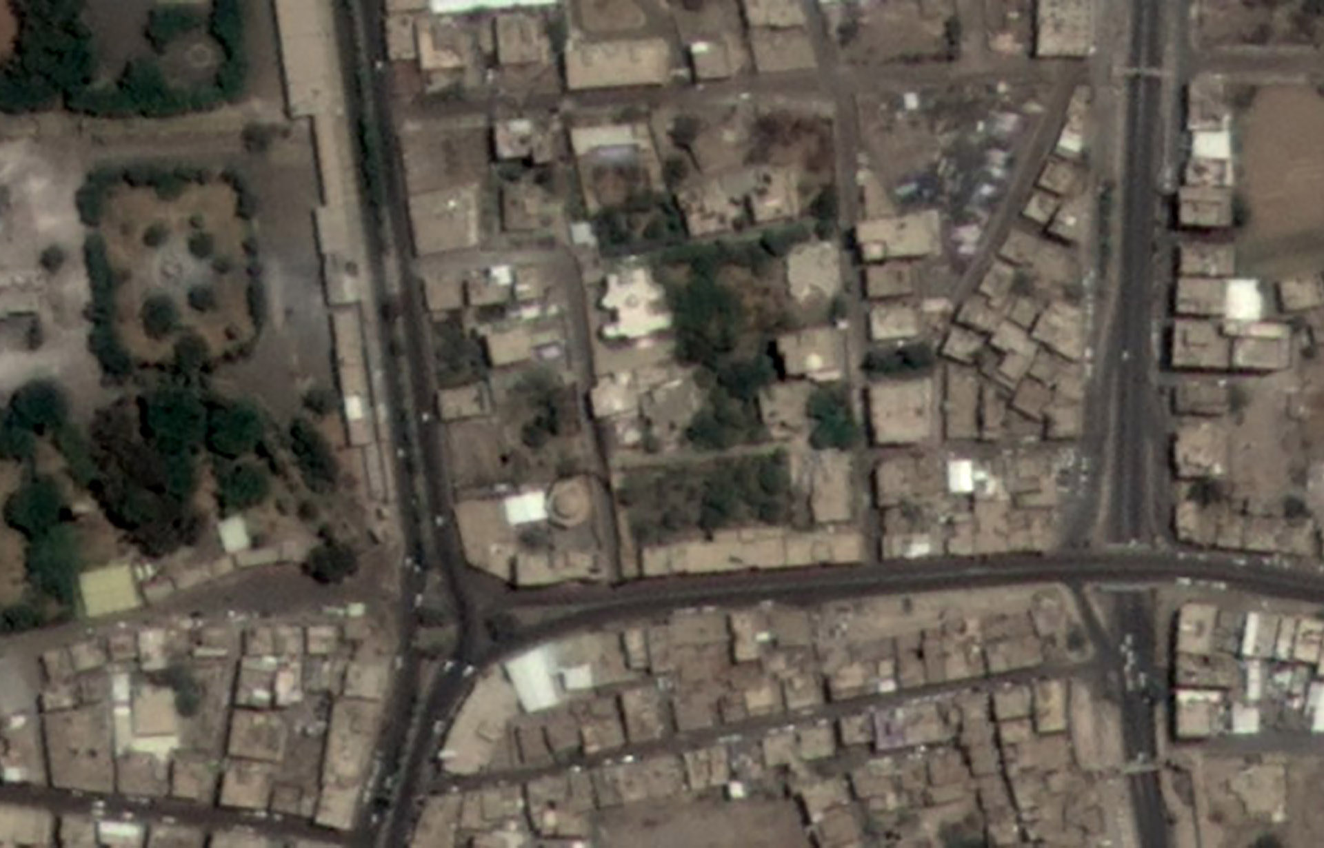
Deimos-2 - Sana'a, Yemen - ©2015 UrtheCast Corp.
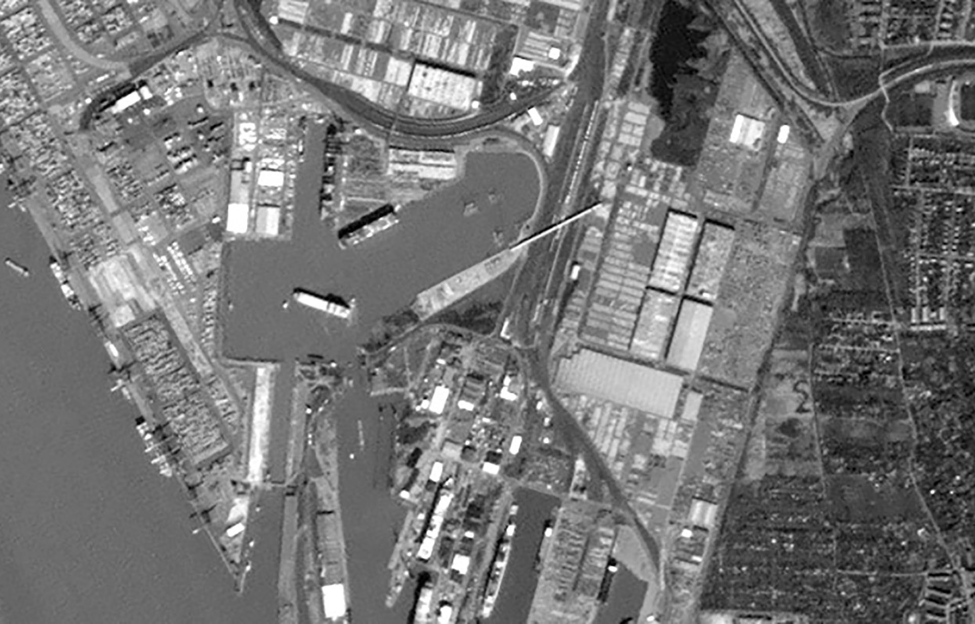
WorldView-1 - Ivory Coast - ©DigitalGlobe, Inc., a Maxar company
DMC - Cape Town, South Africa - ©DMCii
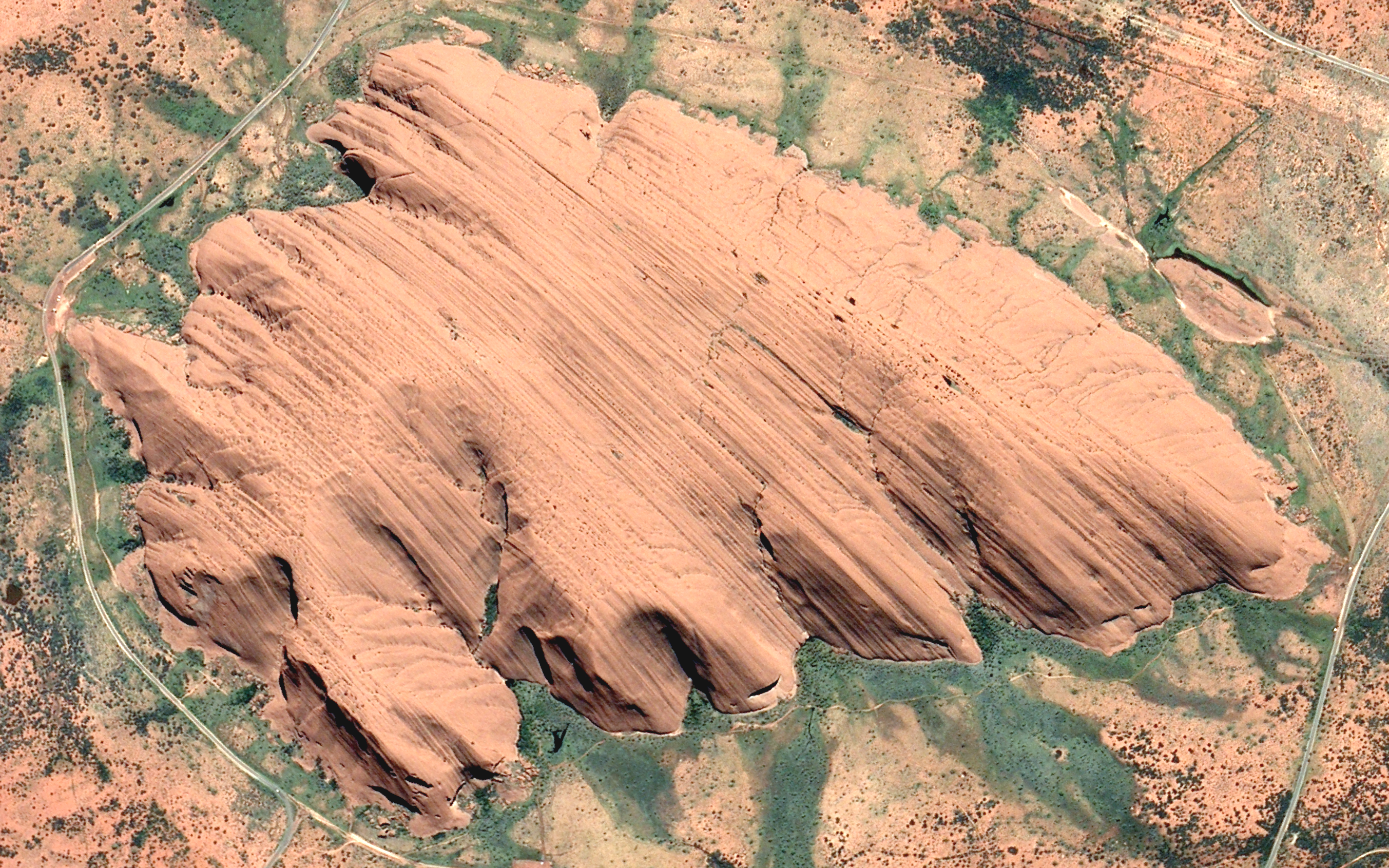
Blacksky Global 4 - Uluru, Australia - ©2021 Blacksky, All rights Reserved
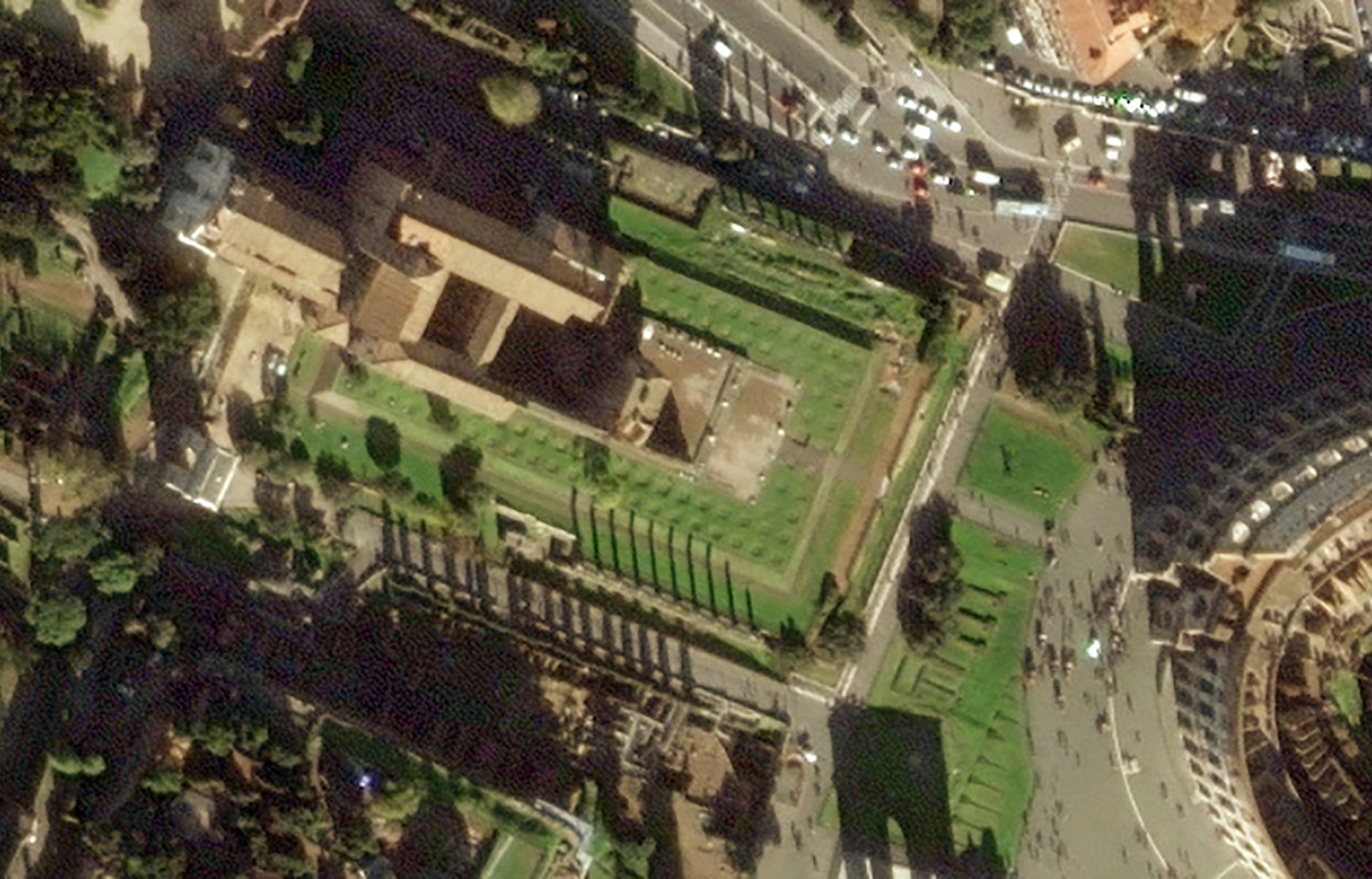
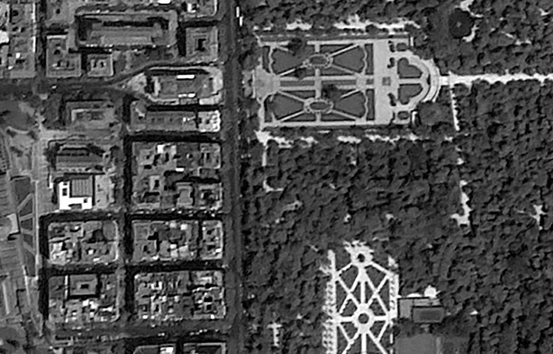
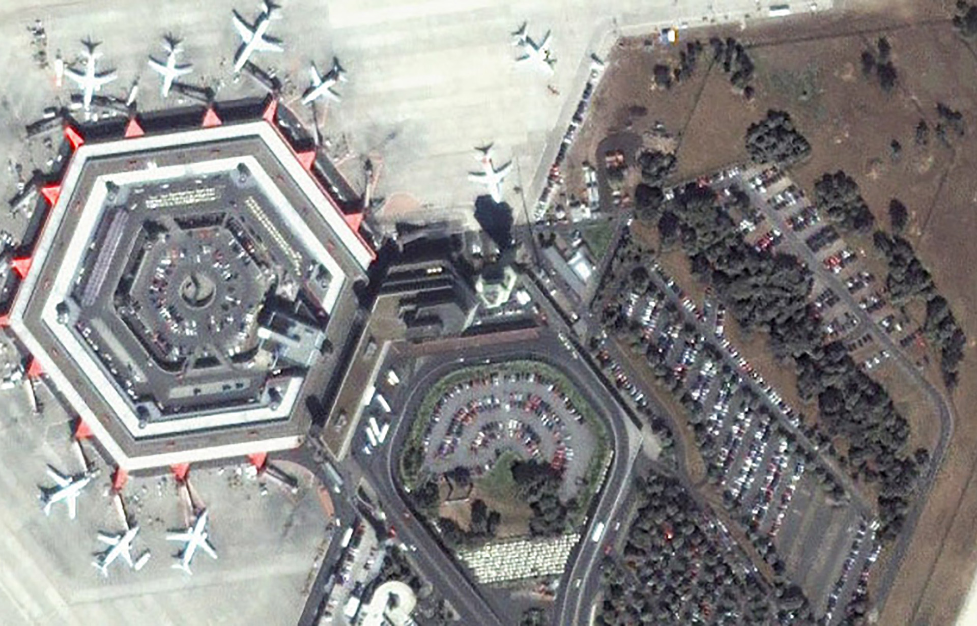
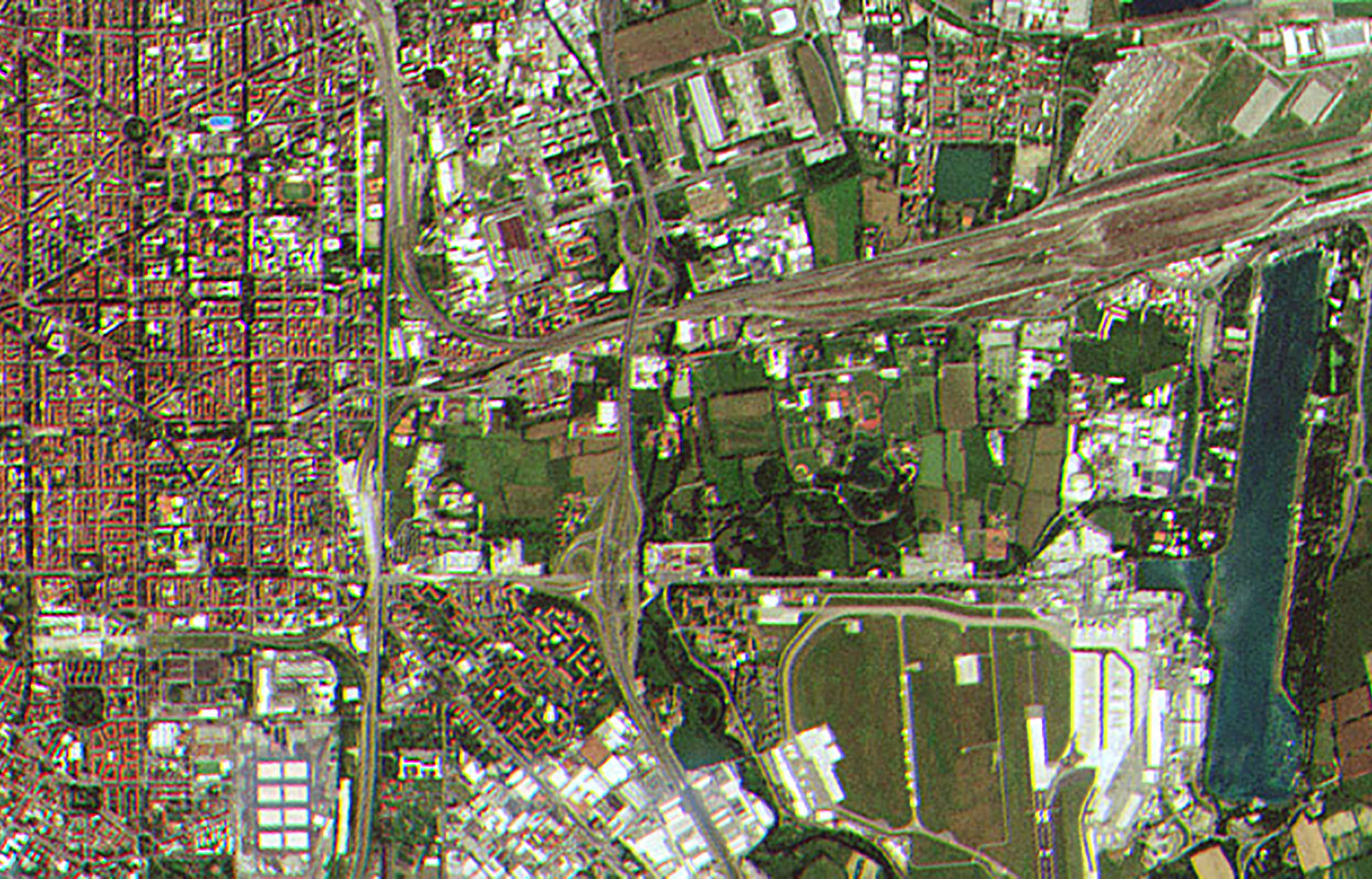
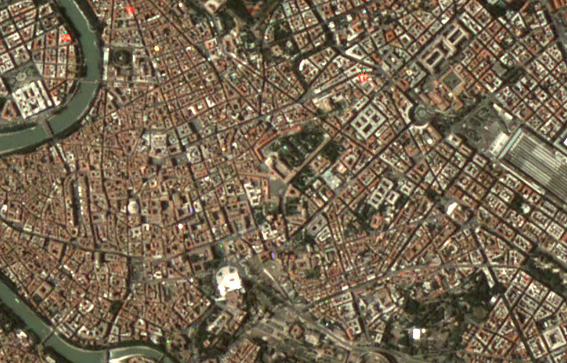
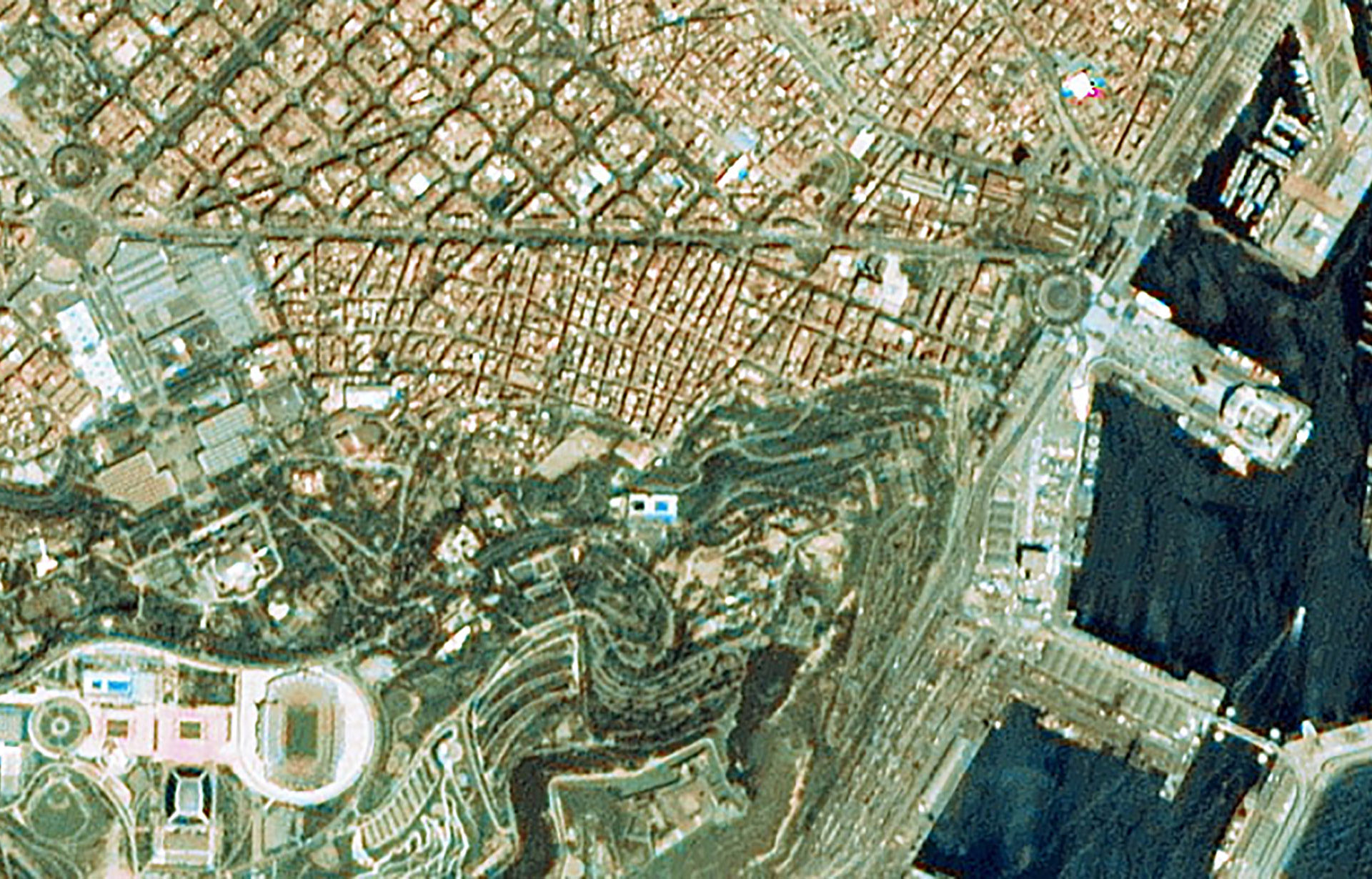
WorldView-2 - Rome, Italy - ©2010 DigitalGlobe, Inc., a Maxar company
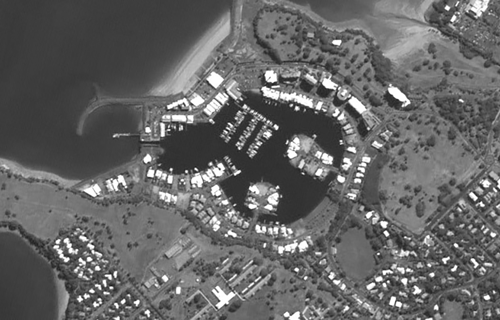
Dubaisat-2 - Melbourne, Australia - ©EIAST 2013
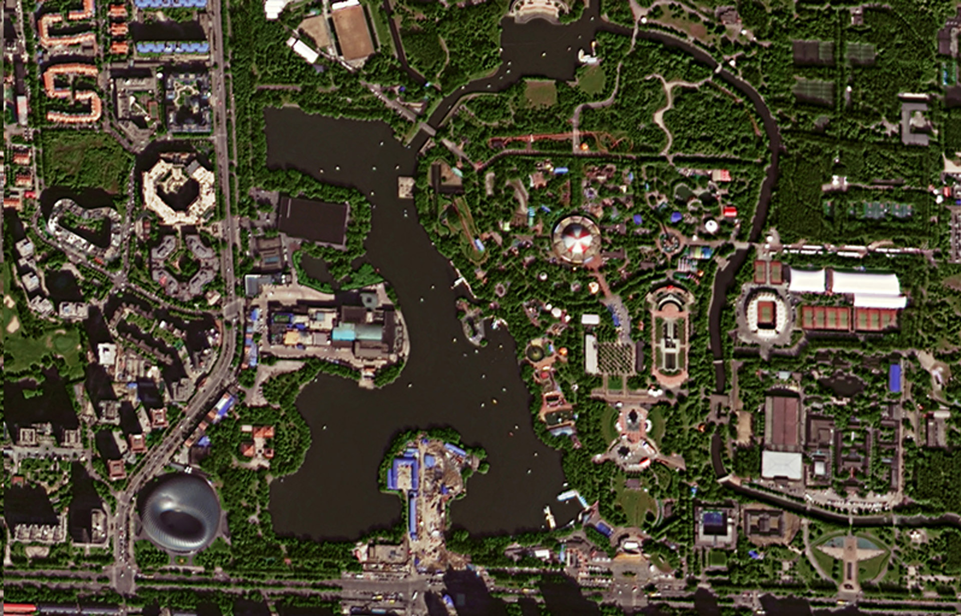
Gaofen-2 - Chaoyang Park - GF-2 - Distributed by SPACEWILL

GeoEye-1 - Kutztown - ©DigitalGlobe, Inc., a Maxar company
IRS P6 LISS-IV - Bremerhaven, Germany - ©2005 Antrix
Ikonos - Berlin, Germany - ©2002 DigitalGlobe, Inc., a Maxar company
Kompsat-2 - Three Gorges Dam, China - ©KARI 2015, Distribution SIIS

Kompsat-3 - Durban, South Africa - ©KARI 2015, Distribution SIIS
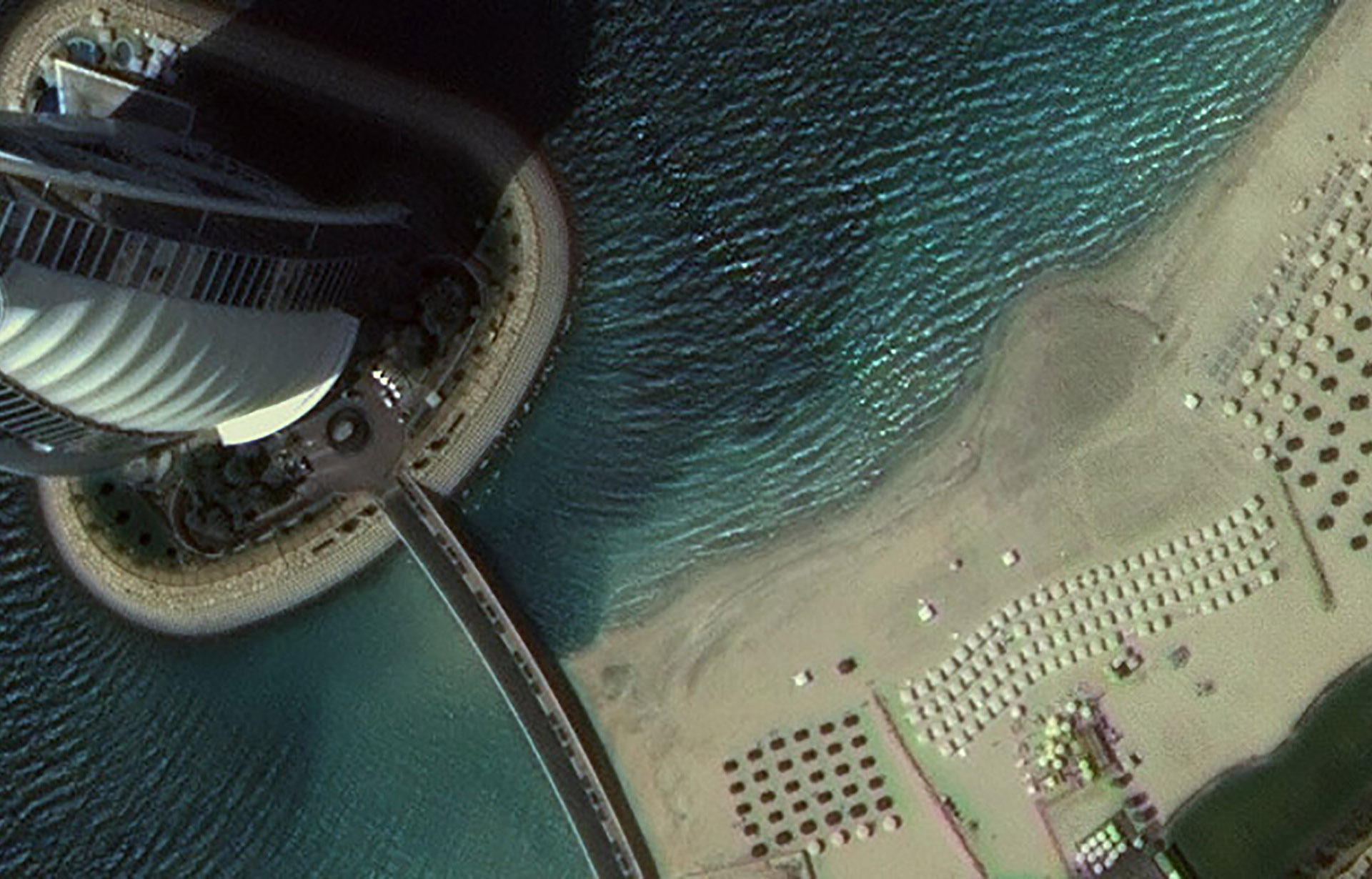
Kompsat-3a - Burj Al Arab, UAE - ©KARI 2015, Distribution SIIS
Very High Resolution Imagery Specifications
|
Satellite |
Operational |
Panchromatic Resolution |
Multispectral Resolution |
Wavebands |
|
Pléiades Neo |
2021 |
0.3 m |
1.2 m |
Pan, VNIR |
|
GeoEye-1 |
2008 |
0.4 m |
1.65 m |
Pan, VNIR |
|
WorldView-1 |
2007 |
0.5 m |
– |
Pan |
|
WorldView-2 |
2009 |
0.5 m |
2.0 m |
Pan, VNIR |
|
WorldView-3 |
2014 |
0.3 m |
1.27 m/3.7 m |
Pan, VNIR, SWIR |
|
SuperView-1 (A-D) |
2016 |
0.5 m |
2 m |
VNIR |
|
Kompsat-2 |
2006 |
1 m |
4 m |
Pan, VNIR |
|
Kompsat-3 |
2012 |
0.7 m |
2.8 m |
Pan, VNIR |
|
Kompsat-3A |
2015 |
0.55 m |
2.2 m/5.5 m |
Pan, VNIR, TIR |
|
Pleiades |
2011 |
0.5 m |
2 m |
VNIR |
|
Blacksky |
2018 |
0.8–1.3 m |
0.8–1.3 m |
Pan, V |
|
Gaofen-2 (GF-2) |
2014 |
0.8 m |
3.2 m |
VNIR |
|
Jilin-1 (nighttime & video) |
2015 |
– |
0.92 m |
V |
|
Jilin-1 |
2015 |
0.72 m |
2.88 m |
Pan, VNIR |
|
Jilin-1 |
2019 |
0.75 m |
3 m |
Pan, VNIR |
|
Cartosat-2 |
2007 |
0.8 m |
– |
Pan |
|
Cartosat-3 |
2019 |
0.28 m |
1 m |
VNIR |
|
Deimos-2 |
2014 |
0.75 m |
3 m |
Pan, VNIR |
|
DubaiSat-2 |
2014 |
1 m |
4 m |
Pan, VNIR |
|
EROS B |
2006 |
0.7 m |
– |
Pan |
|
EROS B (nighttime) |
2006 |
1 m |
– |
Pan |
|
KazEOSat-1 |
2014 |
1 m |
4 m |
Pan, VNIR |
|
SkySat-1, 2 (imagery) |
2013 |
0.5–0.9 m |
2 m |
Pan, VNIR |
|
SkySat-1, 2 (video) |
2013 |
1.1 m |
– |
Pan |
|
TeLEOS-1 |
2015 |
1 m |
– |
Pan |
|
Vision-1 |
2018 |
0.9 m |
3.5 m |
Pan, VNIR |
|
TripleSat (aka DMC3) |
2015 |
1 m |
4 m |
VNIR |
|
Ikonos |
1999–2015 |
0.8 m |
3.6 m |
Pan, VNIR |
|
QuickBird |
2001–2015 |
0.6 m |
2.4 m |
Pan, VNIR |
|
OrbView-3 |
2003–2007 |
1 m |
4 m |
Pan, VNIR |
|
WorldView-4 |
2017–2019 |
0.31 m |
1.23 m |
VNIR |
High Resolution Optical Imagery

RapidEye - Dallas, USA - ©2015 Planet Labs Inc, All Rights Reserved
Sentinel-2a - Milan, Italy - ©Copernicus, 2015 / ESA
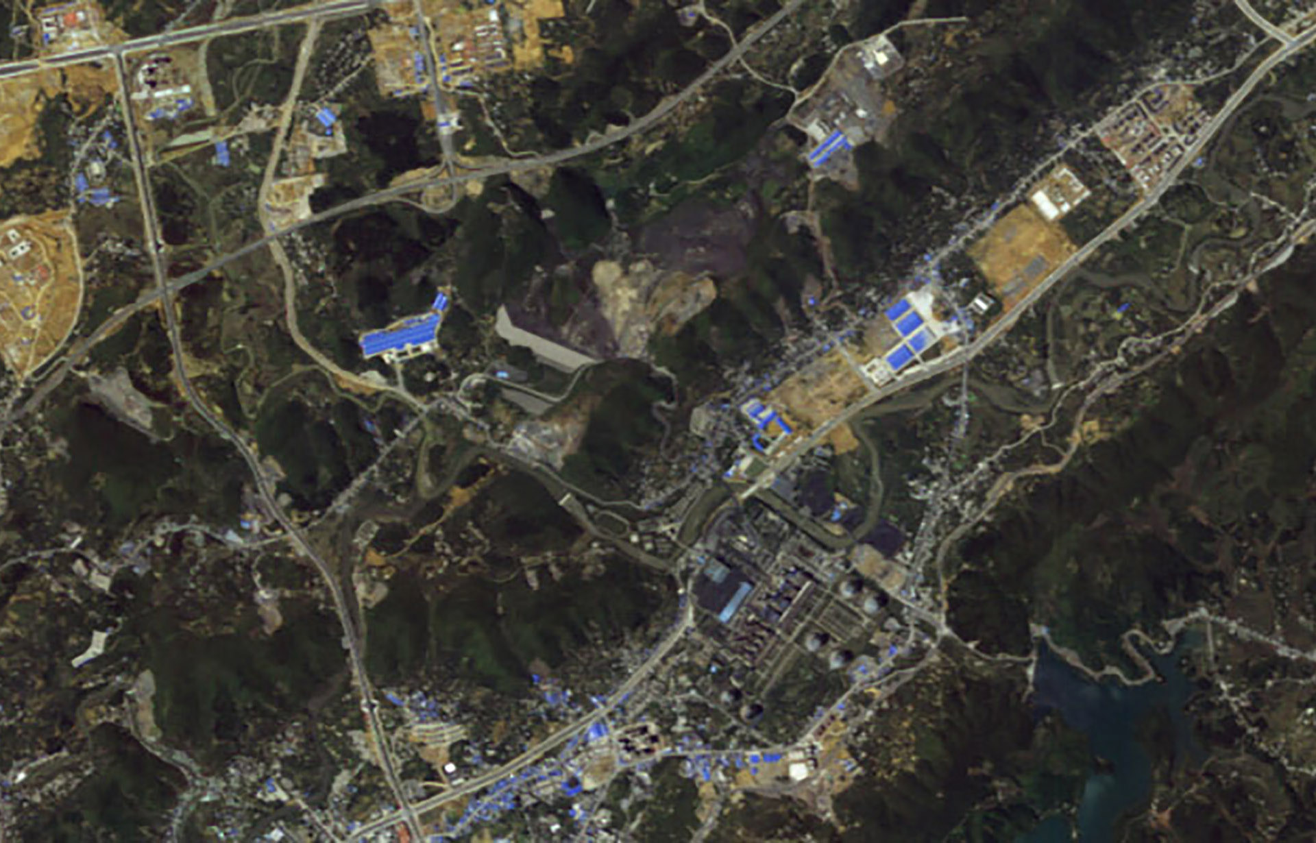
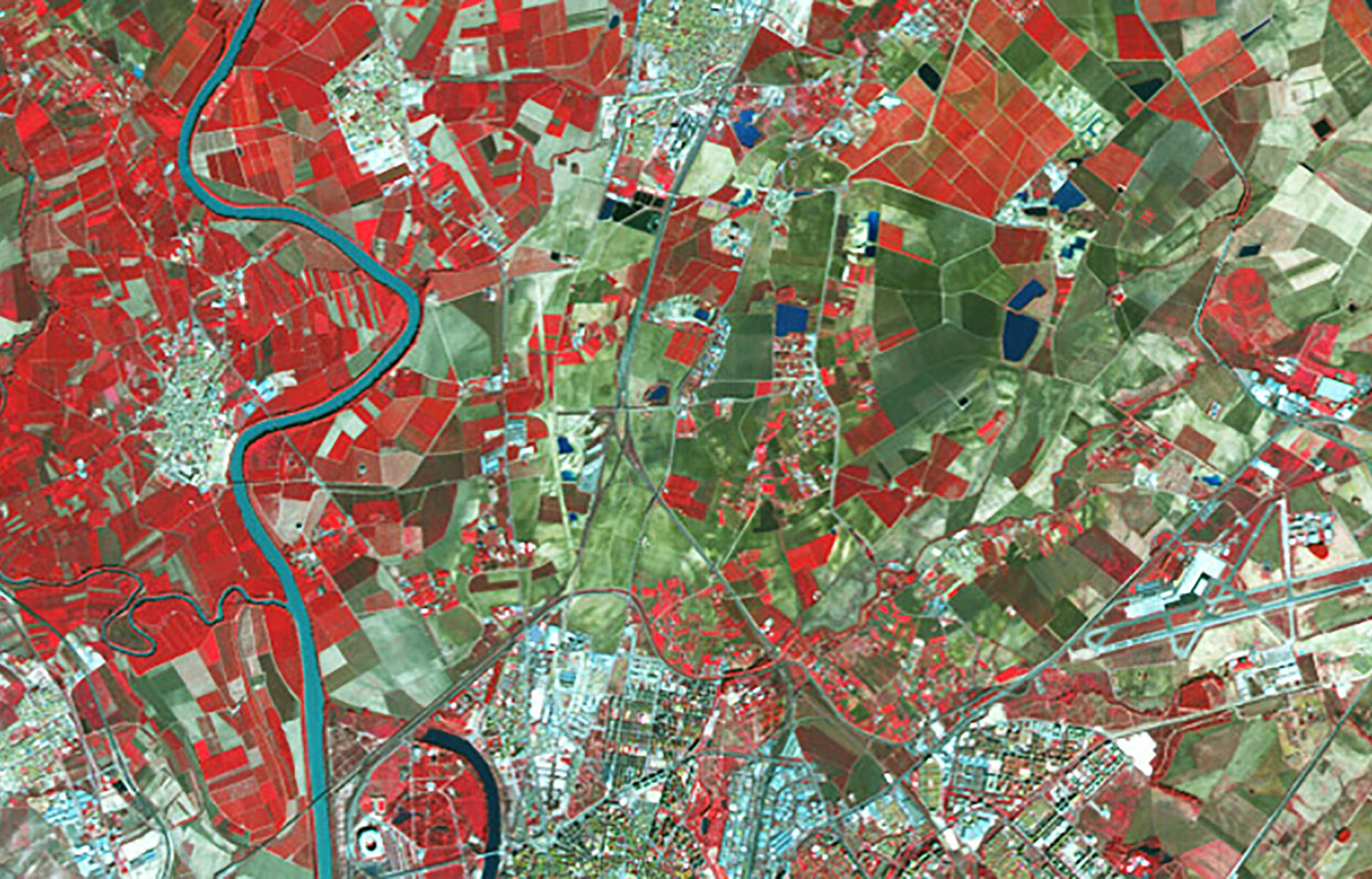
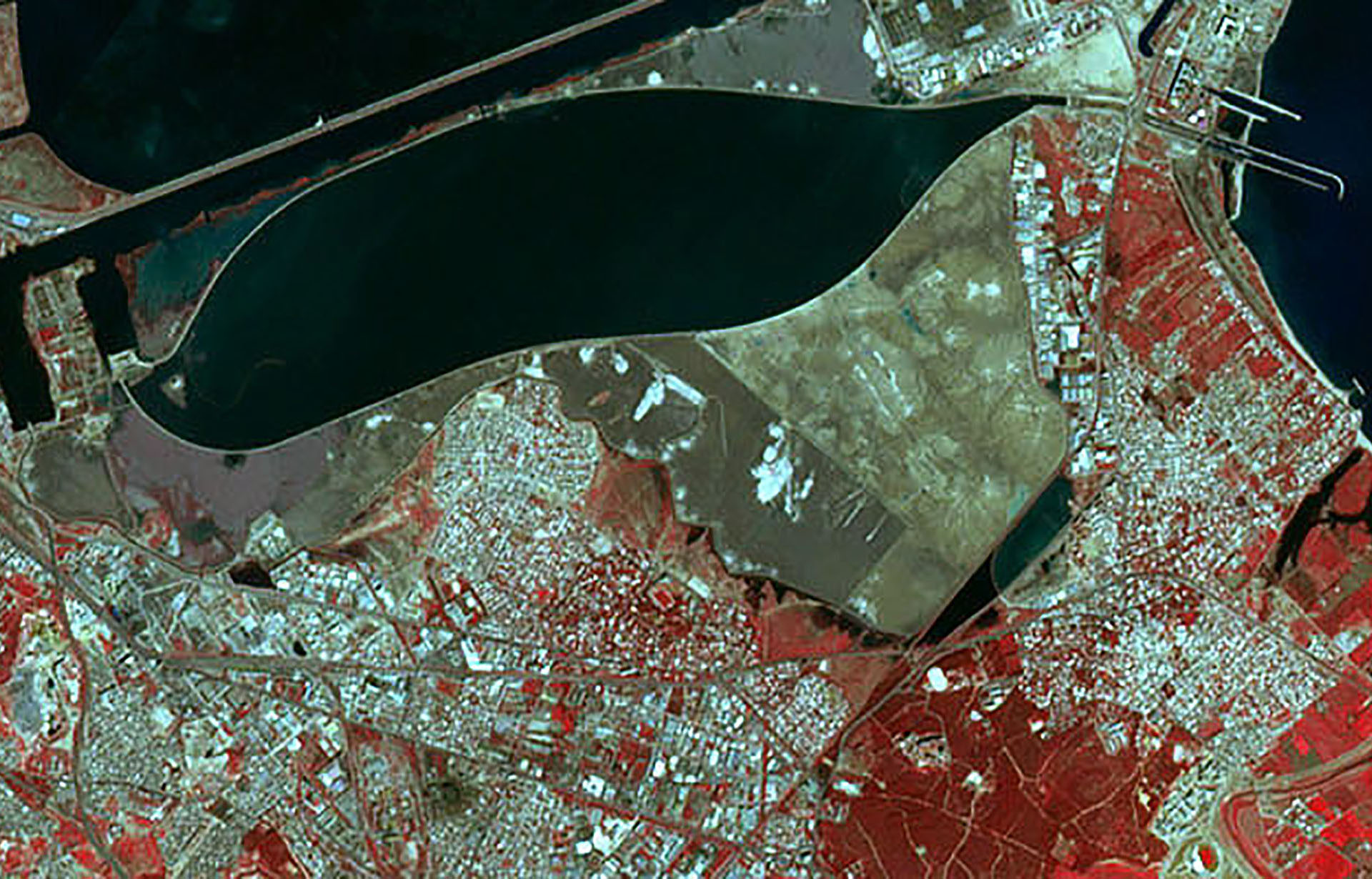
Tianhui-1 - Renhuai, Guizhou, China - ©BSEI
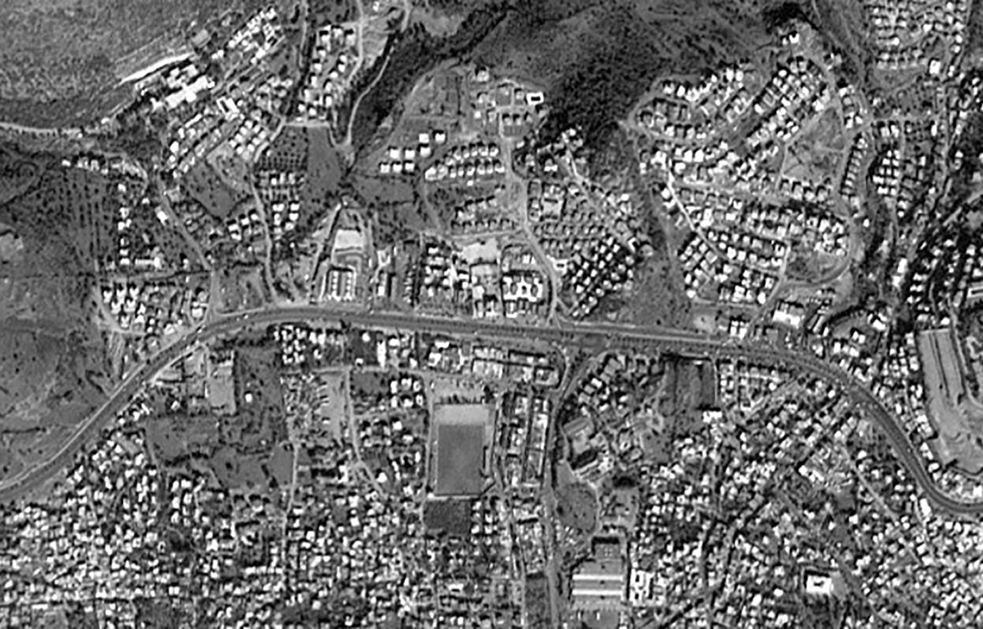
THEOS - Cambridge, UK - ©GISTDA
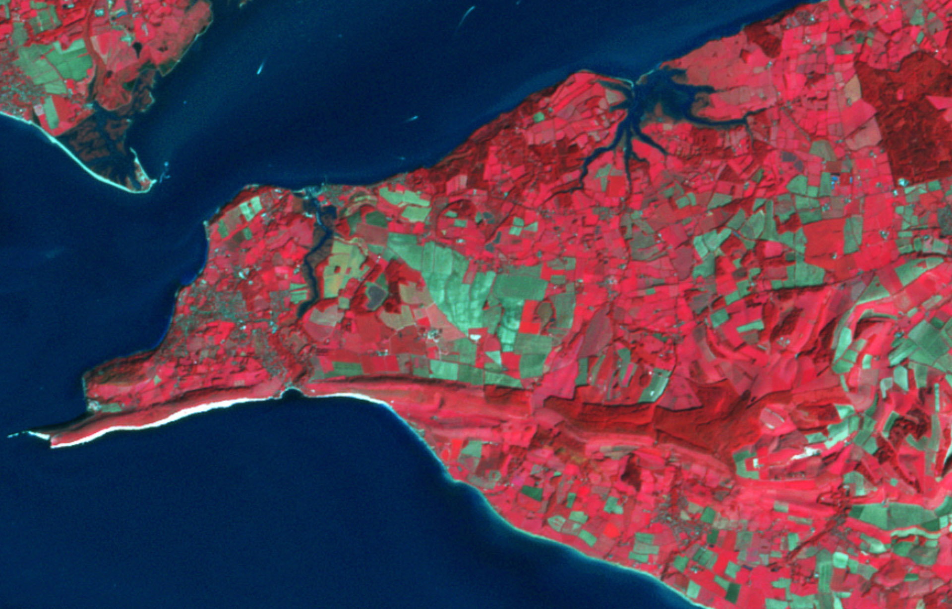
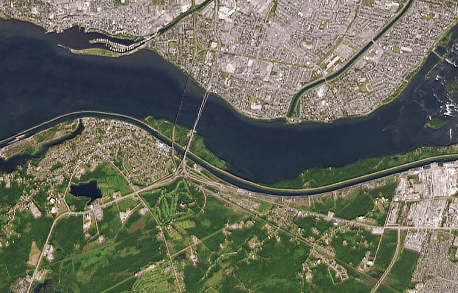
UK-DMC-2 - Isle of Wight - ©2015 Airbus DS
Urthecast - Rome, Italy - ©2015 UrtheCast Corp.
ALOS PRISM - Darwim, Australia - ©JAXA, Distributed by PASCO
ZiYuan III-01 - Shenyang, China - Distributed by SPACEWILL
ALOS AVNIR-2 - Kyushu Island, Japan - ©JAXA, Distributed by PASCO

DubaiSat-1 - Provo, Serbia - ©EIAST 2013
EROS-A - New York, USA - ©2002 ImageSat International N.V.
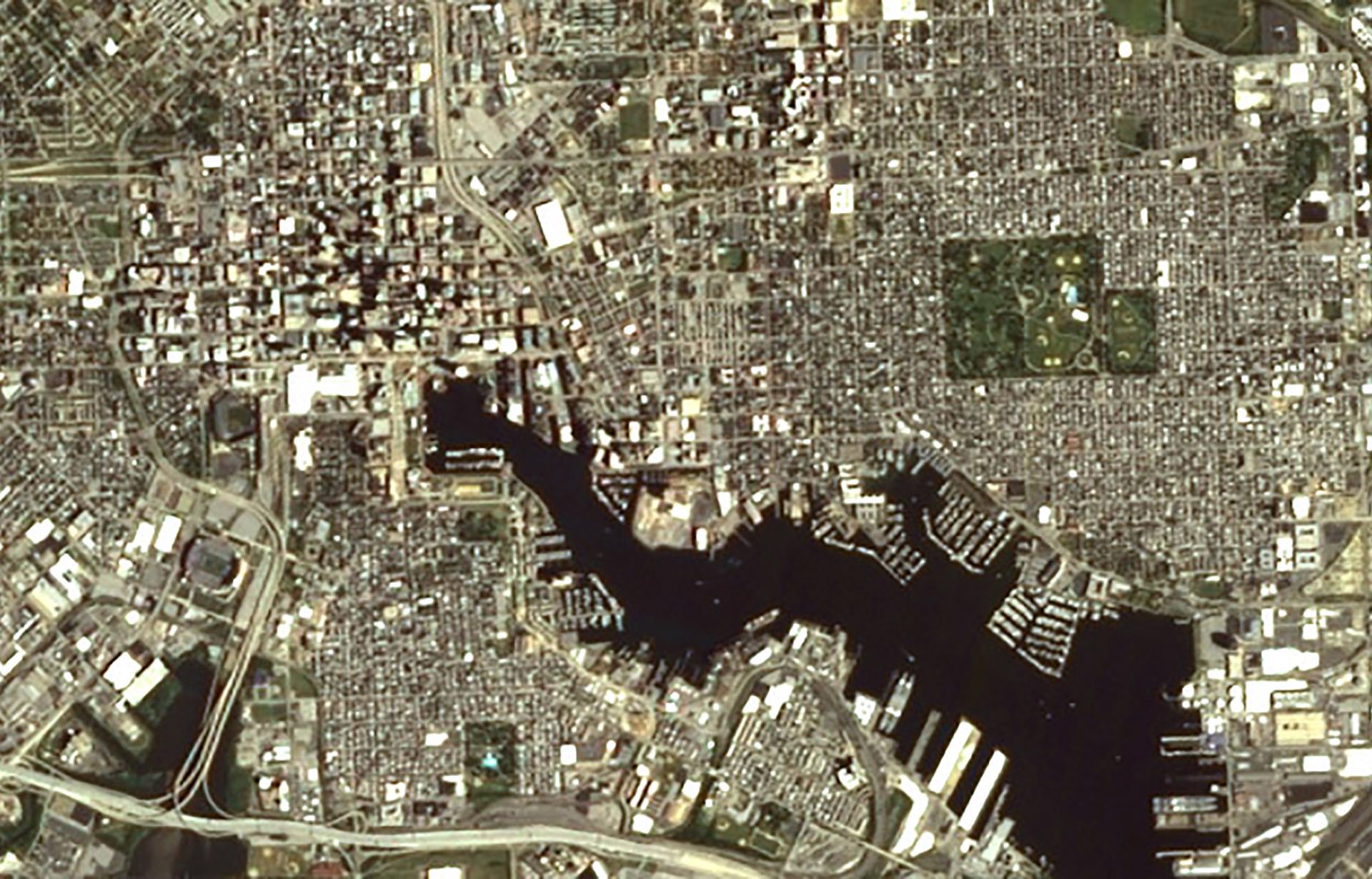
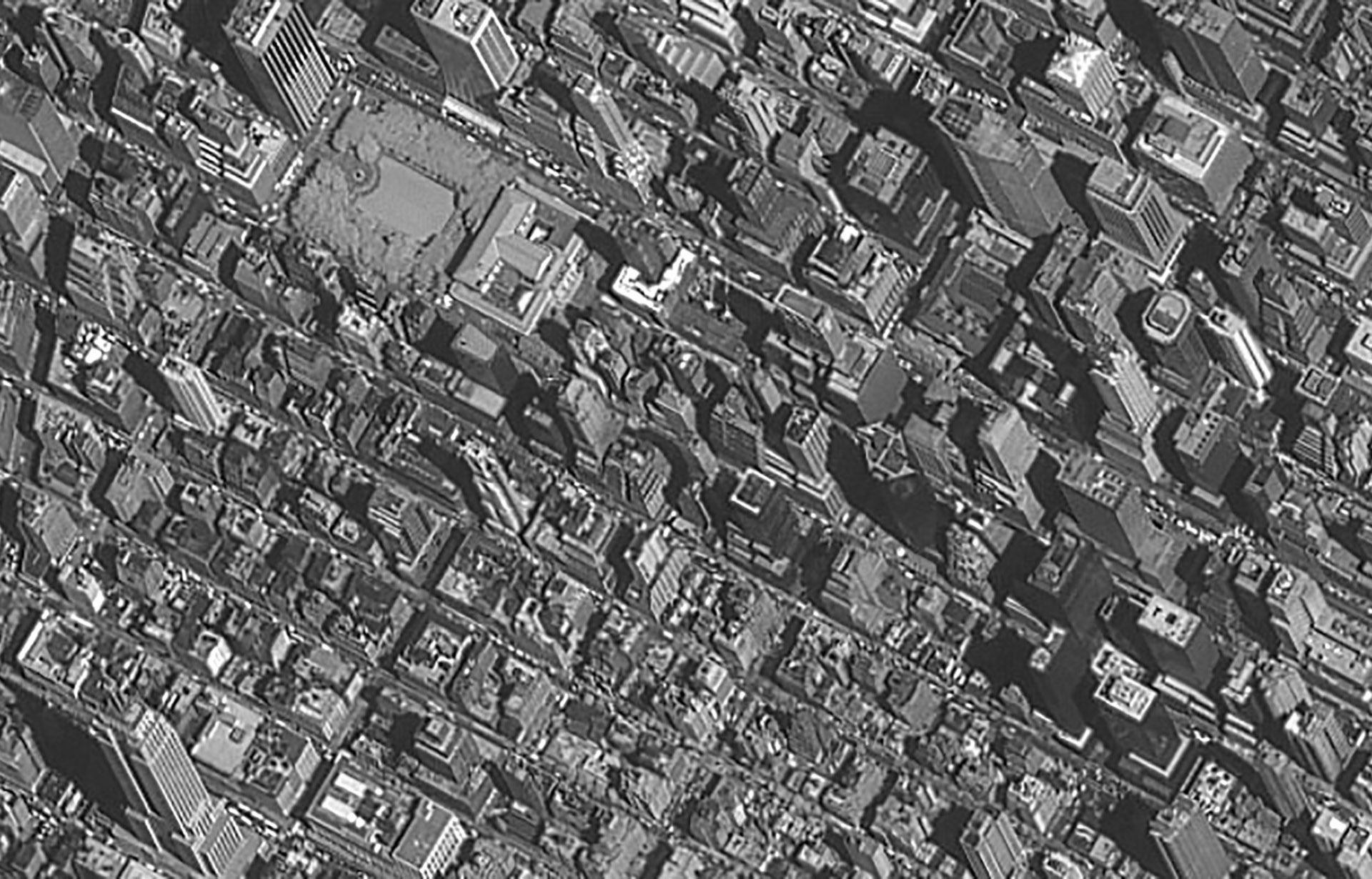
EO-1 ALI - Baltimore, USA
Formosat-2 - Sedd el Bahr, Turkey - ©NSPO
IRIS-1D - Barcelona, Spain - ©2002 Antrix
IRS-P5 Cartosat-1 - Bodrum, Turkey - ©2008 Antrix
IRS P6 LISS-III - Seville, Spain - ©2004 Antrix
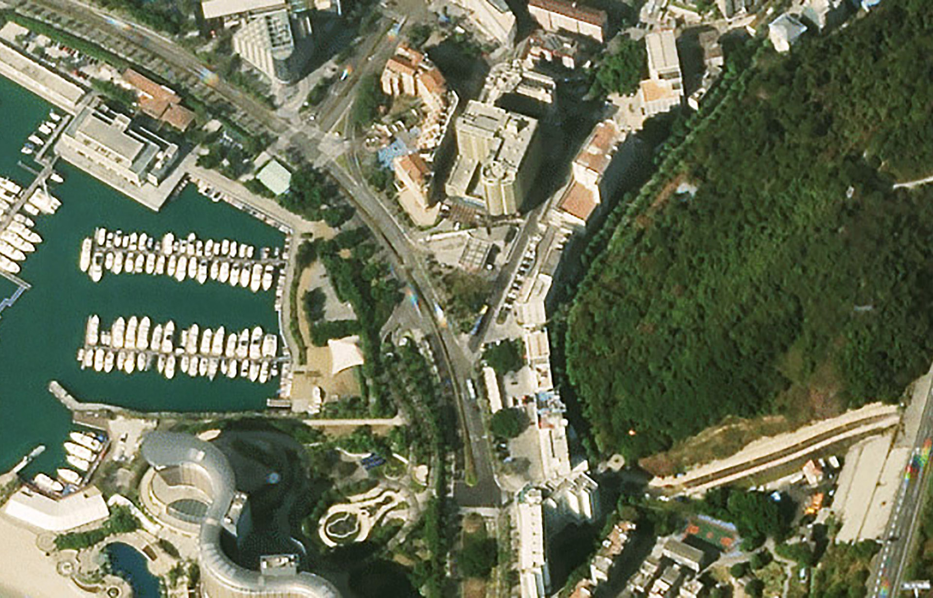
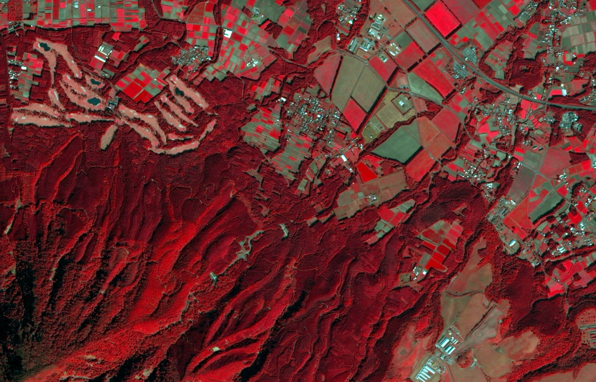
KazeoSat-1 - The Paul Ricard Circuit, France - ©2014 KGS, Distribution Airbus DS
PlanetScope - Ning Dong, China - ©2015 Planet Labs Inc, All Rights Reserved
High Resolution Imagery Specifications
|
Satellite |
Operational |
Panchromatic Resolution |
Multispectral Resolution |
Wavebands |
|
BKA |
2012 |
2.1 m |
10.5 m |
VNIR |
|
Canopus-B |
2012 |
2.1 m |
10.5 m |
VNIR |
|
Cartosat-1 (IRS-P5) |
2005 |
2.5 m |
– |
Pan |
|
CBERS-1/2/2B |
1999 |
2.5 m/20 m |
20–260 m |
Pan, VNIR, SWIR, TIR |
|
DMCii |
2002 |
4 m |
22–32 m |
Pan, VNIR |
|
DubaiSat-1 |
2009 |
2.5 m |
5 m |
Pan, VNIR |
|
Gaofen-1 (GF-1) |
2013 |
2 m |
8–16 m |
VNIR |
|
IRS 1C/1D |
1995 |
5.8 m |
23–188 m |
Pan, VNIR, SWIR |
|
KazEOSat-2 |
2014 |
– |
6.5 m |
VNIR |
|
PlanetScope (Doves) |
2014 |
– |
3.7 m |
VNIR |
|
RapidEye |
2008 |
– |
5 m |
VNIR |
|
Resourcesat-1 (IRS-P6) |
2003 |
5.8 m |
5.8–70 m |
VNIR, SWIR |
|
Resourcesat-2 |
2011 |
5.8 m |
5.8–70 m |
VNIR, SWIR |
|
Sentinel-2A |
2015 |
– |
10–60 m |
VNIR, SWIR |
|
SPOT 6, 7 |
2012 |
1.5 m |
6 m |
VNIR |
|
THEOS |
2008 |
2 m |
15 m |
Pan, VNIR |
|
UrtheCast Theia |
2013 |
– |
5 m |
VNIR |
|
UrtheCast Iris |
2013 |
– |
1 m video |
V |
|
Ziyuan III-01 (ZY3-1) 资源三号 |
2012 |
2.1 m / 3.5 m stereo |
5.8 m |
Imagery: pan, VNIR Stereo: pan only |
|
Tianhui-1 (TH-1) 测绘卫星一号 |
2012 |
2 m pan / 5 m tristereo |
10 m |
Imagery: pan, VNIR Stereo: pan only |
|
ALOS AVNIR-2 |
2006–2011 |
– |
10 m |
VNIR |
|
ALOS PRISM |
2006–2011 |
2.5 m |
– |
Pan |
|
EO-1 ALI |
2001–2017 |
10 m |
30 m |
Pan, VNIR, SWIR |
|
EROS A |
2000–2016 |
1.9 m |
– |
Pan |
|
Formosat-2 (Rocsat-2) |
2004–2016 |
2 m |
8 m |
Pan, VNIR, SWIR |
|
SPOT 1, 2, 3, 4 |
1986–2013 |
10 m |
10–20 m |
Pan, VNIR, SWIR |
|
SPOT 5 |
2002–2015 |
2.5/5 m |
10–20 m |
Pan, VNIR, SWIR |
Medium Resolution Optical Imagery
ASTER - Tunis, Tunisia - ©METI & NASA
Landsat 8
Triplesat - Rimini, Italy - ©21AT 2015, distribution 21AT, all rights reserved
Landsat TM - Cuprite
Medium Resolution Imagery Specifications
Satellite | Operational | Panchromatic Resolution | Multispectral Resolution | Wavebands |
ALOS-2 CIRC | 2014 | – | <200 m | TIR |
ASTER | 1999 | – | 15 m/60 m/90 m | VNIR, SWIR, TIR |
AVHRR | 1978 | – | 1,100 m | R, NIR, MIR, LWIR, TIR |
Deimos-1 | 2009 | – | 22 m | VNIR |
Gaofen-4 (GF-4) | 2015 | 50 m | 400 m | VNIR |
IRS 1A/1B | 1988 | – | 36/72 m | VNIR |
Landsat (7) ETM+ | 1999 | 15 m | 30 m/60 m | Pan, VNIR, SWIR, TIR |
Landsat 8 | 2013 | 15 m | 30 m/100 m | Pan, VNIR, SWIR, TIR, Cirrus |
MODIS | 1999 | – | 250 m/500 m/1,000 m | VNIR, SWIR, MIR, LWIF, TIR |
Proba CHRIS | 2001 | – | 18 m/36 m | VNIR |
SeaWiFS | 1997 | – | 1,000 m/4,500 m | VNIR |
EO-1 Hyperion | 2001–2017 | – | 30 m | VNIR |
Landsat (1,2,3,4,5) MSS | 1972–1978 | – | 80 m | VNIR |
Landsat (4 and 5) TM | 1982–1984 | – | 30 m/120 m | VNIR, SWIR, TIR |
More Satellite Mapping Products & Services

Optical Satellite Imagery
Get the highest quality satellite images and best processing options from CGG, an independent supplier for satellite operators.
Radar Satellite Imagery
Access high-quality radar satellite images with the best processing options from CGG, an independent supplier for satellite operators.
Satellite Elevation Data
Obtain the highest quality satellite elevation data and best processing options for topographic mapping and monitoring operations.
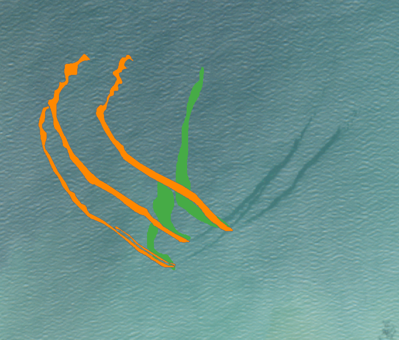
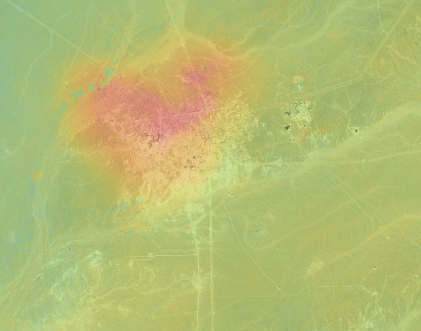
Seepage Detection
Reduce exploration risk by identifying seepage and oil or gas accumulations from which the seeps originate.
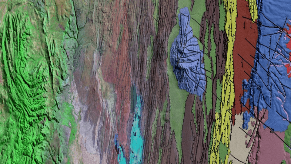
Geological Mapping
Minimize your risk with our geospatial database and global insight into regional and local surface structure and lithology.
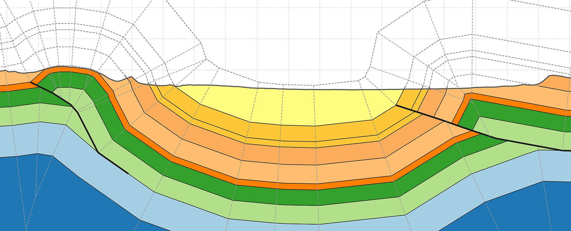
Geological Cross-Sections
Take advantage of extensive geological expertise and state-of-the-art software to validate geological interpretations and de-risk models.
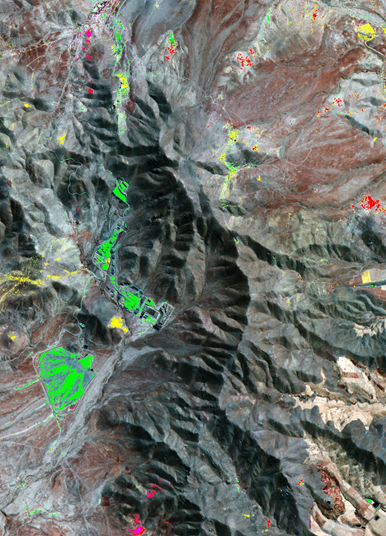
Mineral Mapping
Identify the most promising targets for follow-up field work using our mineral mapping services.
Oil Spill Detection & Monitoring
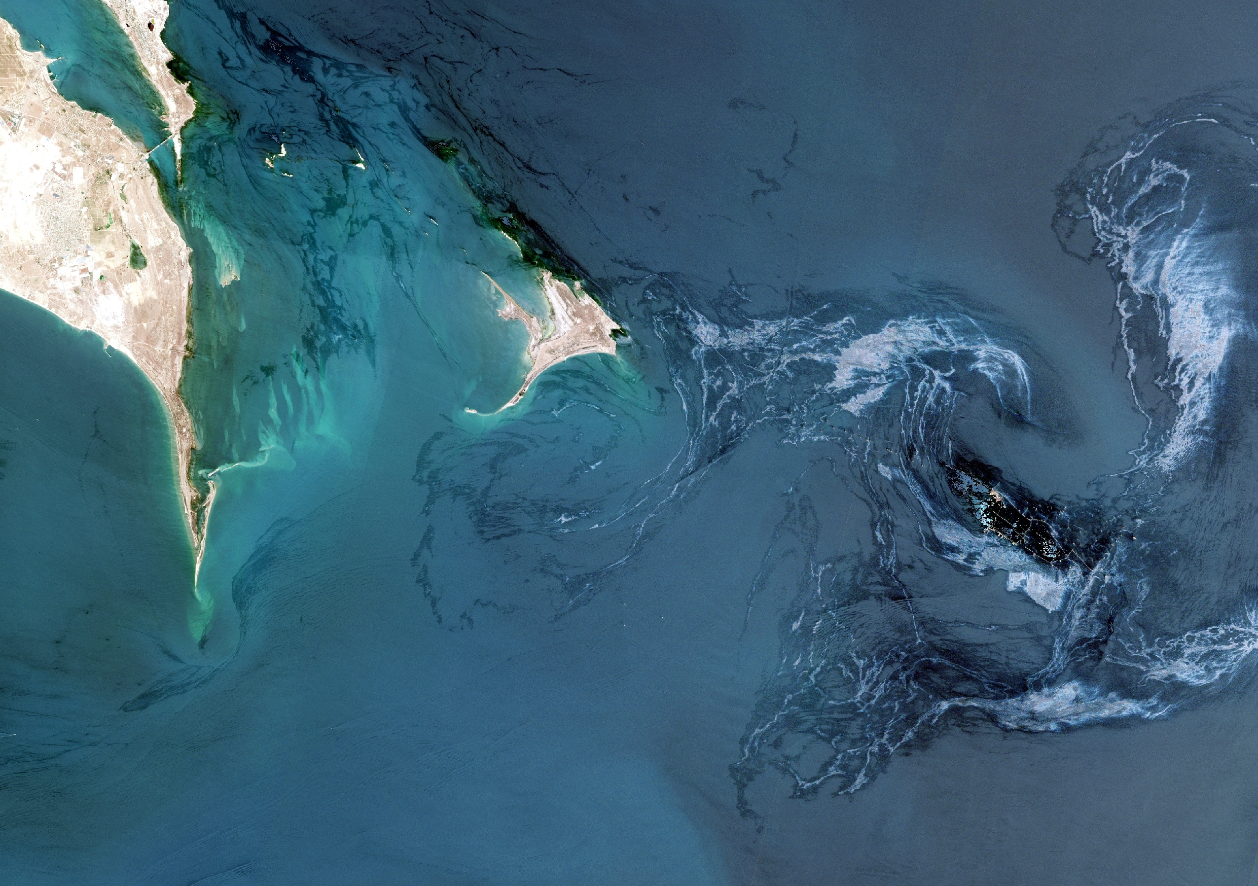
Mitigate oil spill risk associated with operating in the marine and coastal environments with our unique and independent insight.
InSAR
Reduce risk and improve planning with cutting-edge InSAR solutions that deliver remote intelligence on surface deformation.
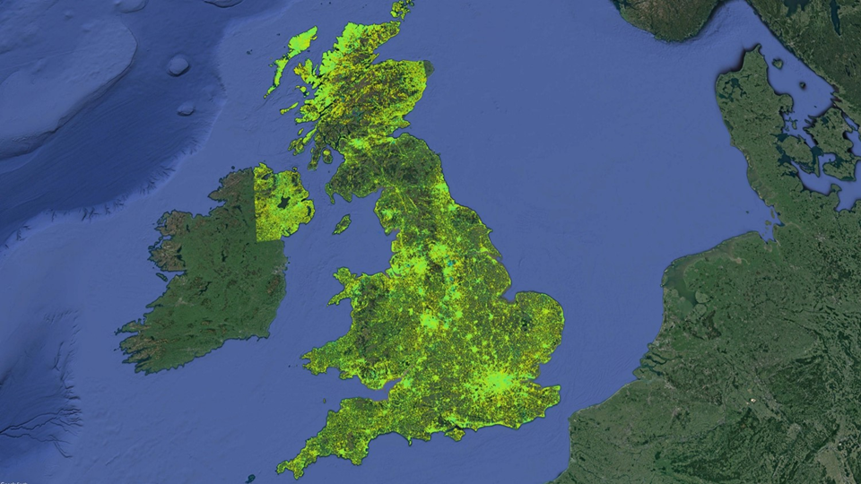
MotionMap UK
Get insight into location, extent and evolution of ground stability hazards across the United Kingdom.
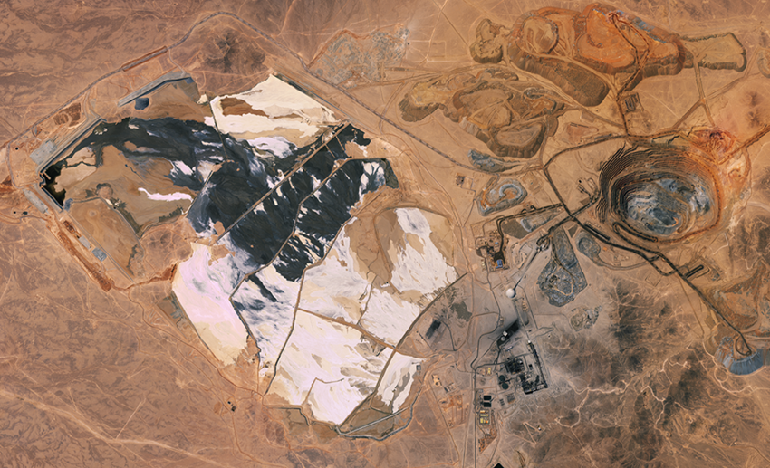
MineScope
Make smarter geological, geotechnical and safety-related decisions with remote, satellite-derived intelligence across mine sites.