


- Home
- Geoscience
- Satellite Mapping
- Satellite Elevation Data Satellite Elevation ...
Satellite Elevation Data
Map and monitor topography with comprehensive elevation data options
Our comprehensive knowledge provides you with the best satellite elevation data and processing options for topographic mapping, surveying, and monitoring of your projects and operations. We create and supply digital elevation models (DEMs) at a range of resolutions from a variety of sources.
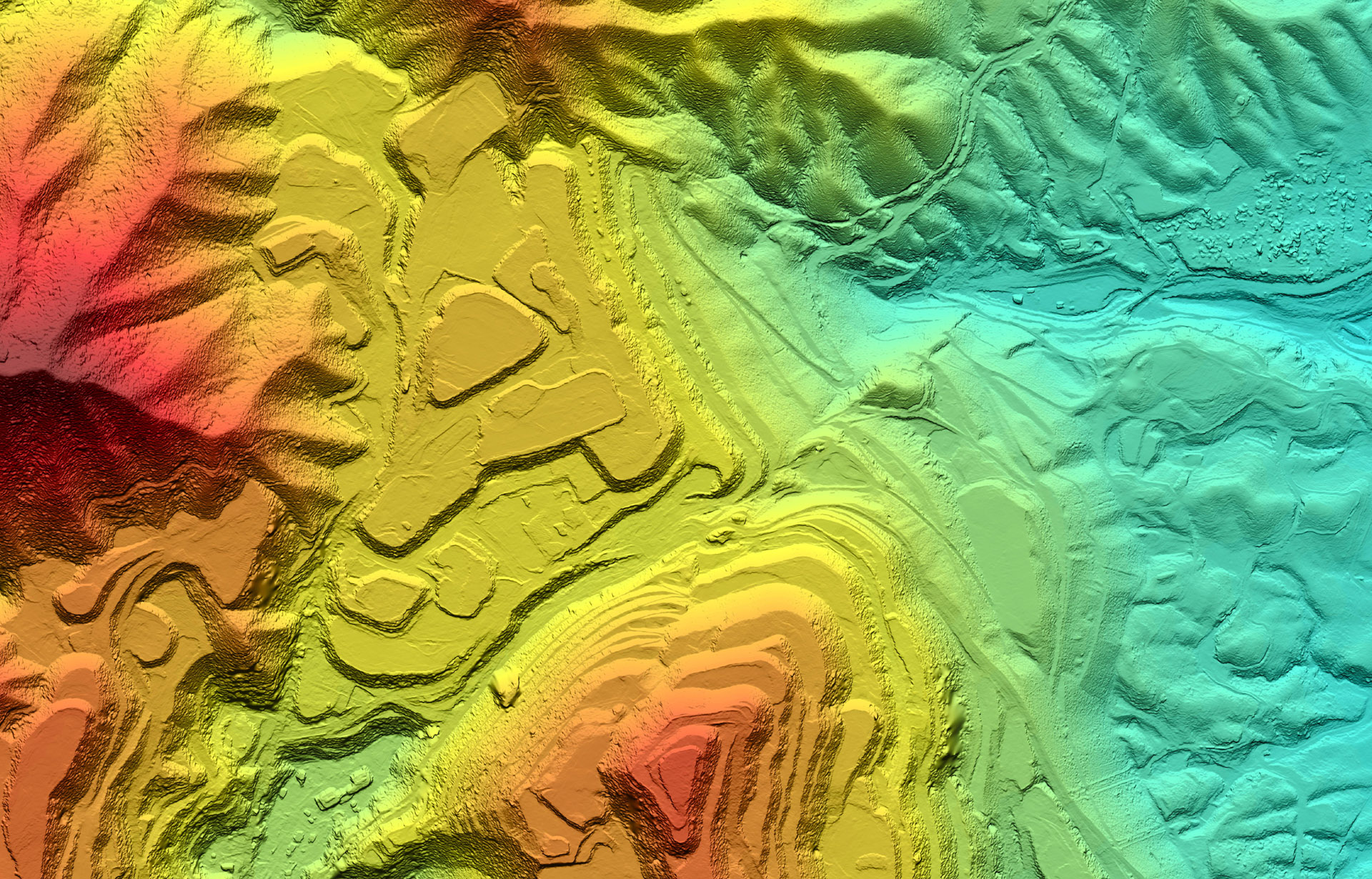
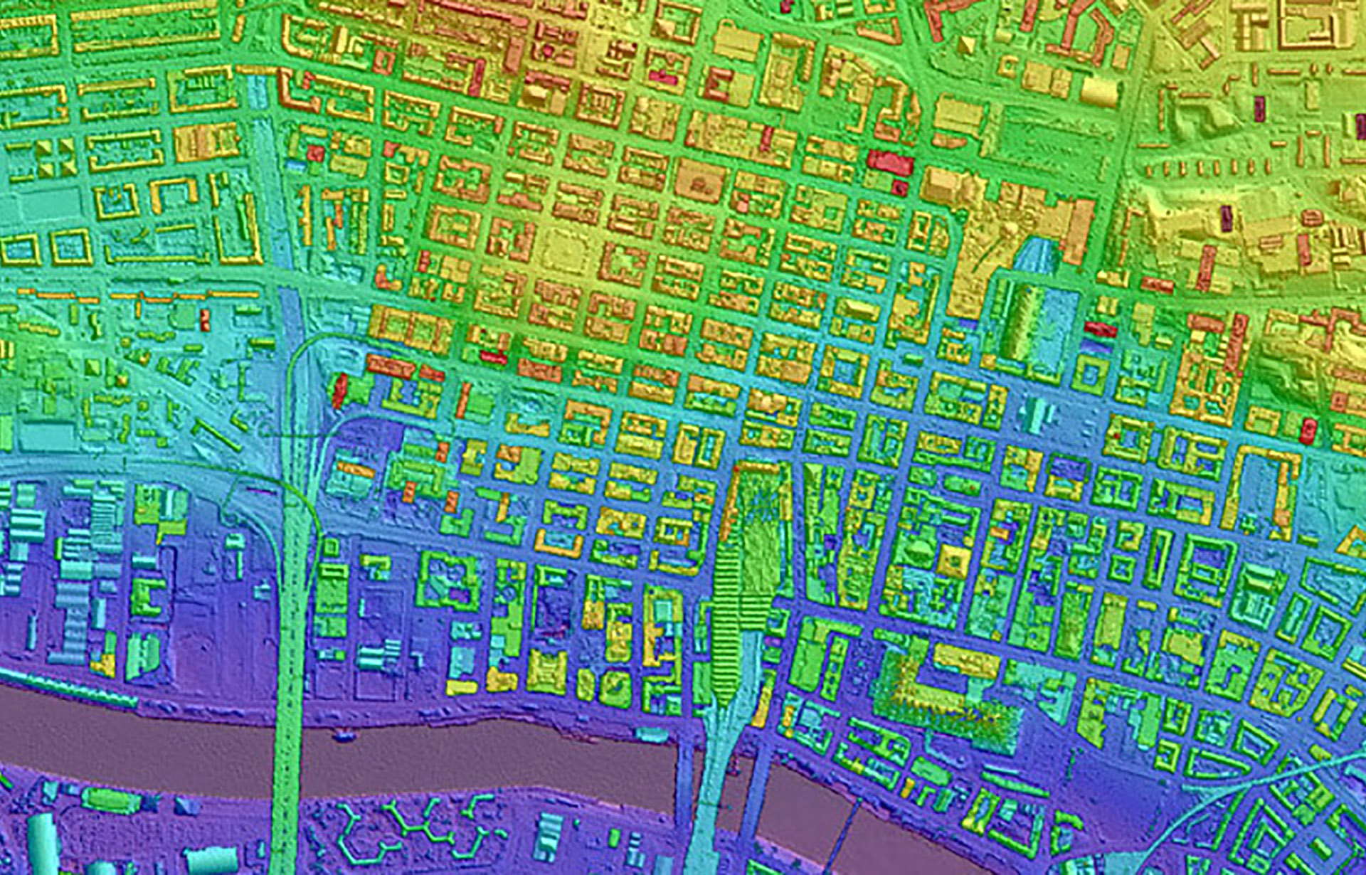
Custom Elevation Data
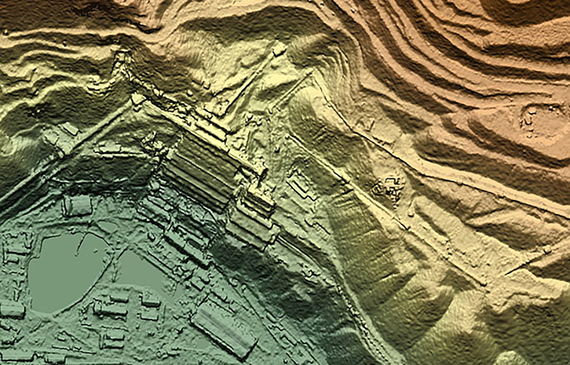
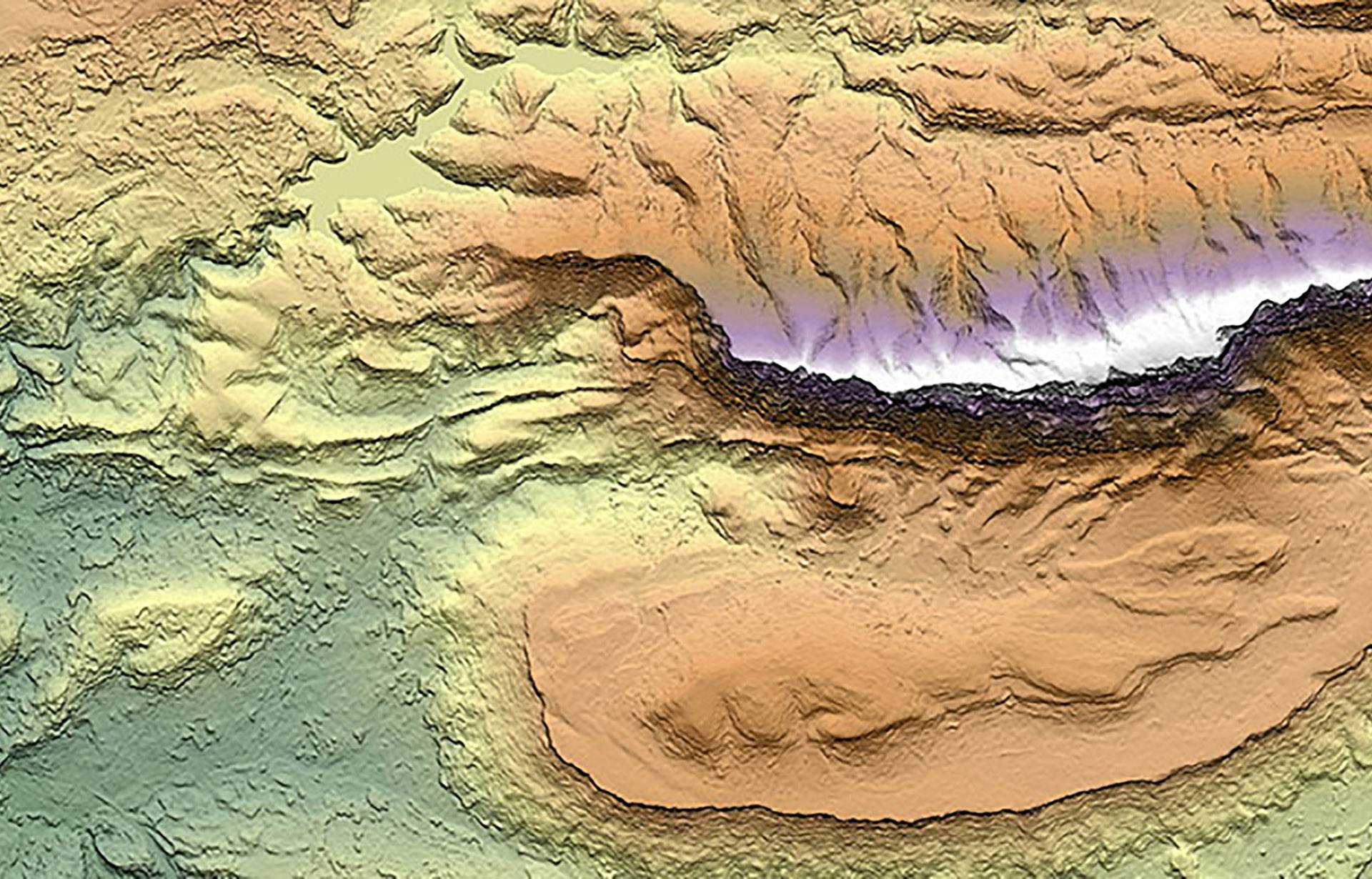
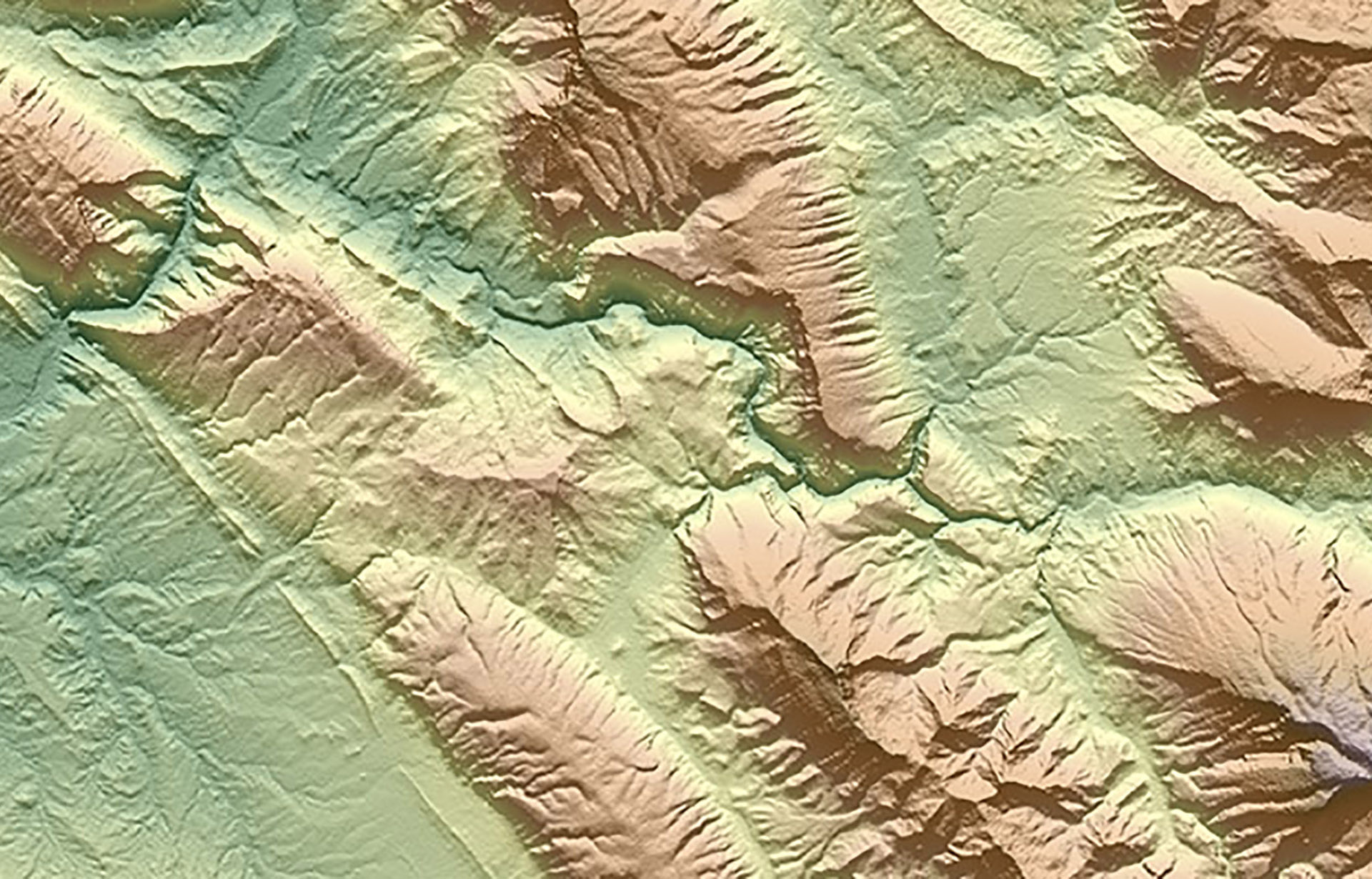
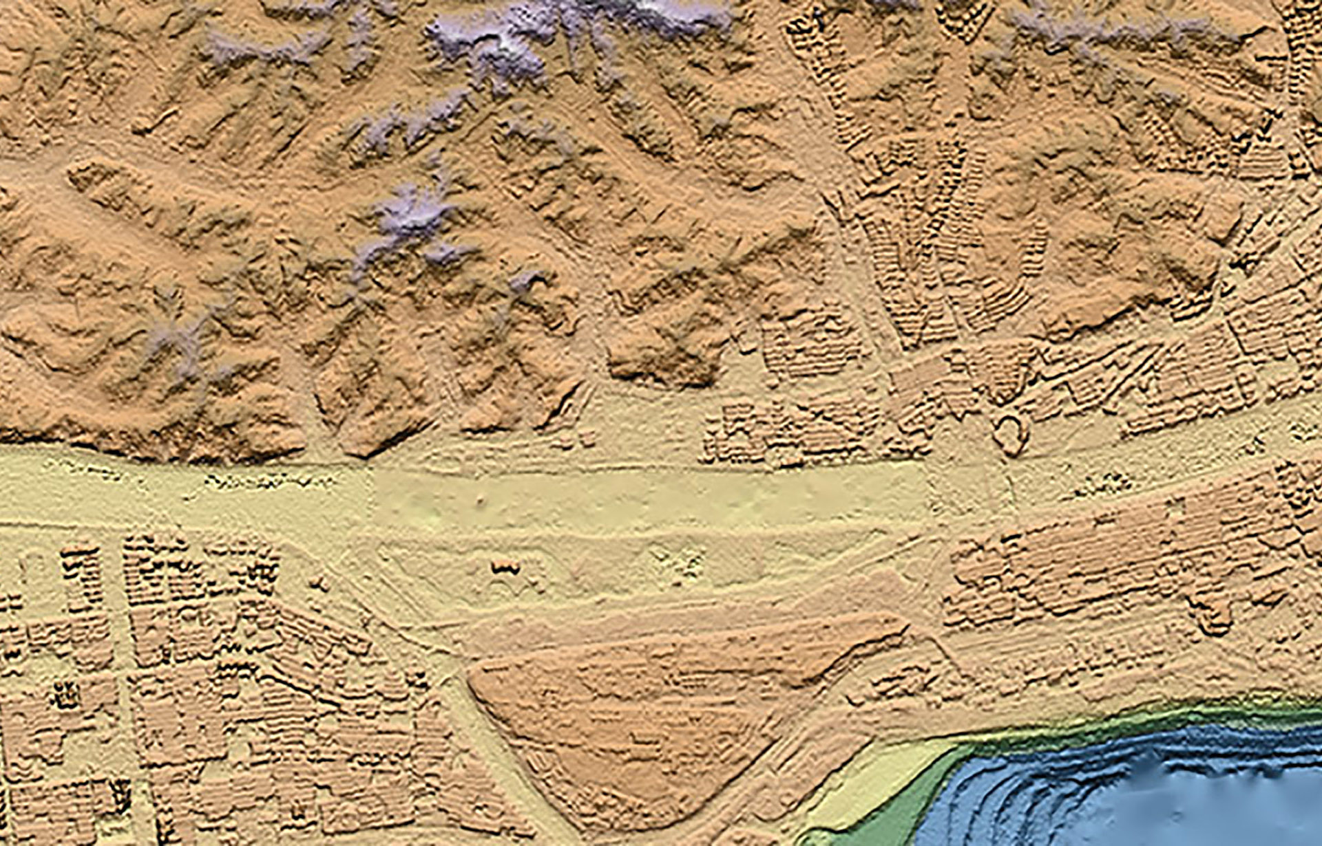
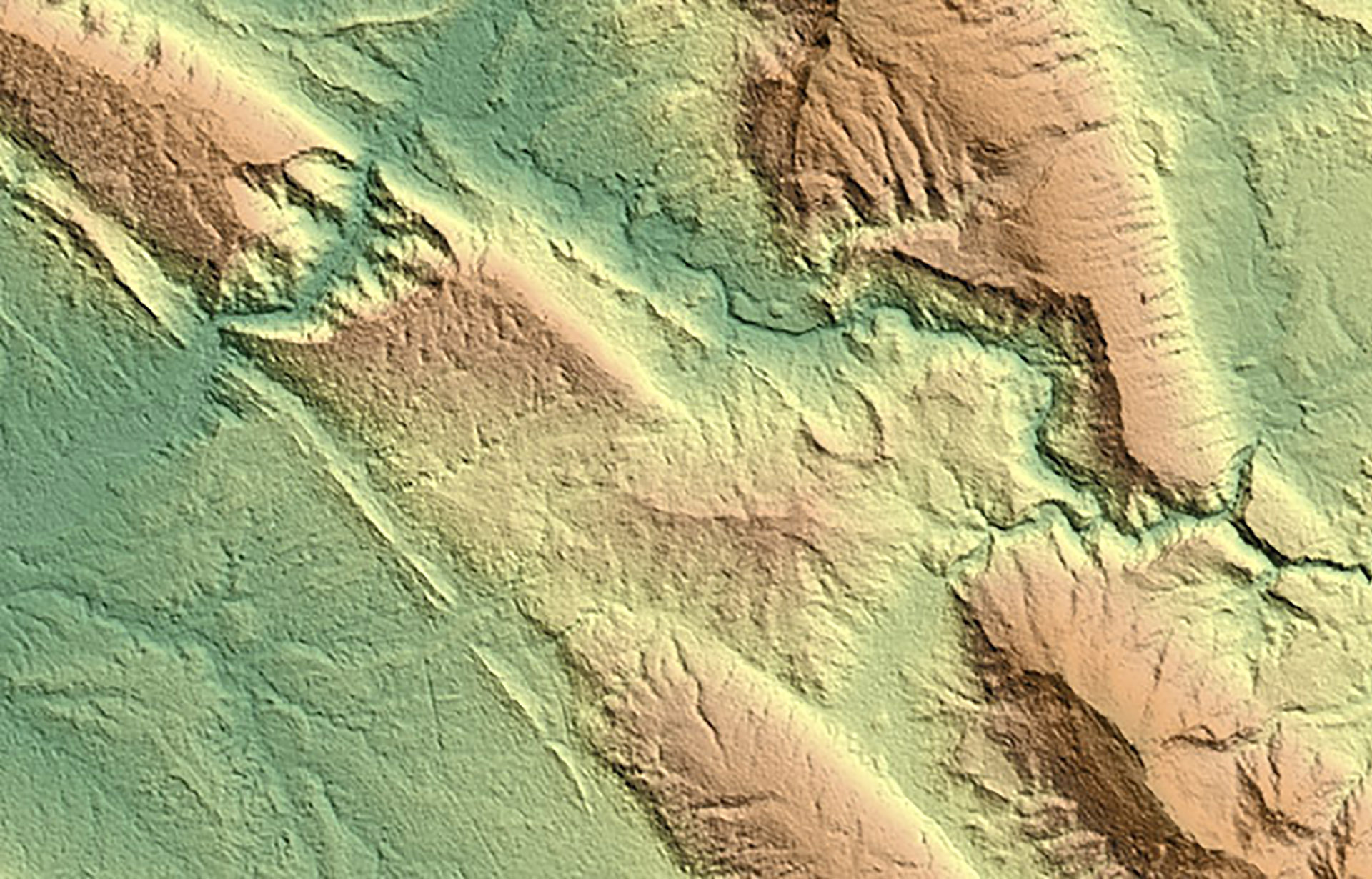
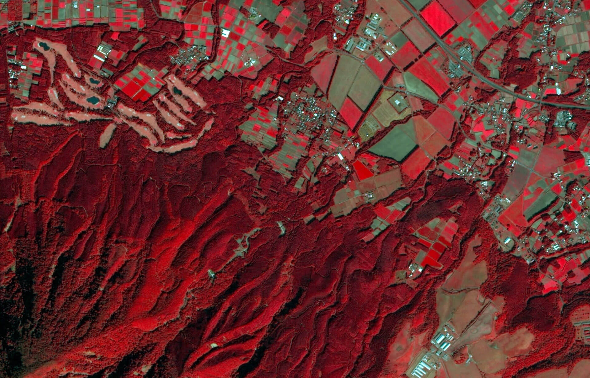
We generate industry-leading high-resolution elevation models from stereo and tri-stereo optical satellite imagery on a custom basis. With vertical accuracies of up to 10 cm to 15 cm at spatial resolutions of up to 1 m, our expert processing generates topographic survey data suitable for diverse and demanding applications, spanning onshore oil fields, mine sites, engineering, site characterization and geohazards.
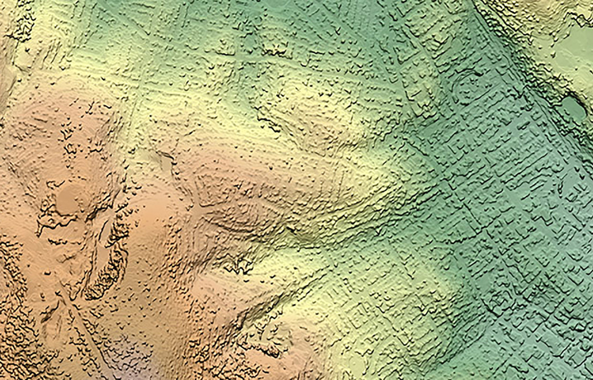
GeoEye - Hobart, Australia - ©CGG, includes copyrighted material of DigitalGlobe Inc.

Pleidas - Musan, North Korea - ©CNES
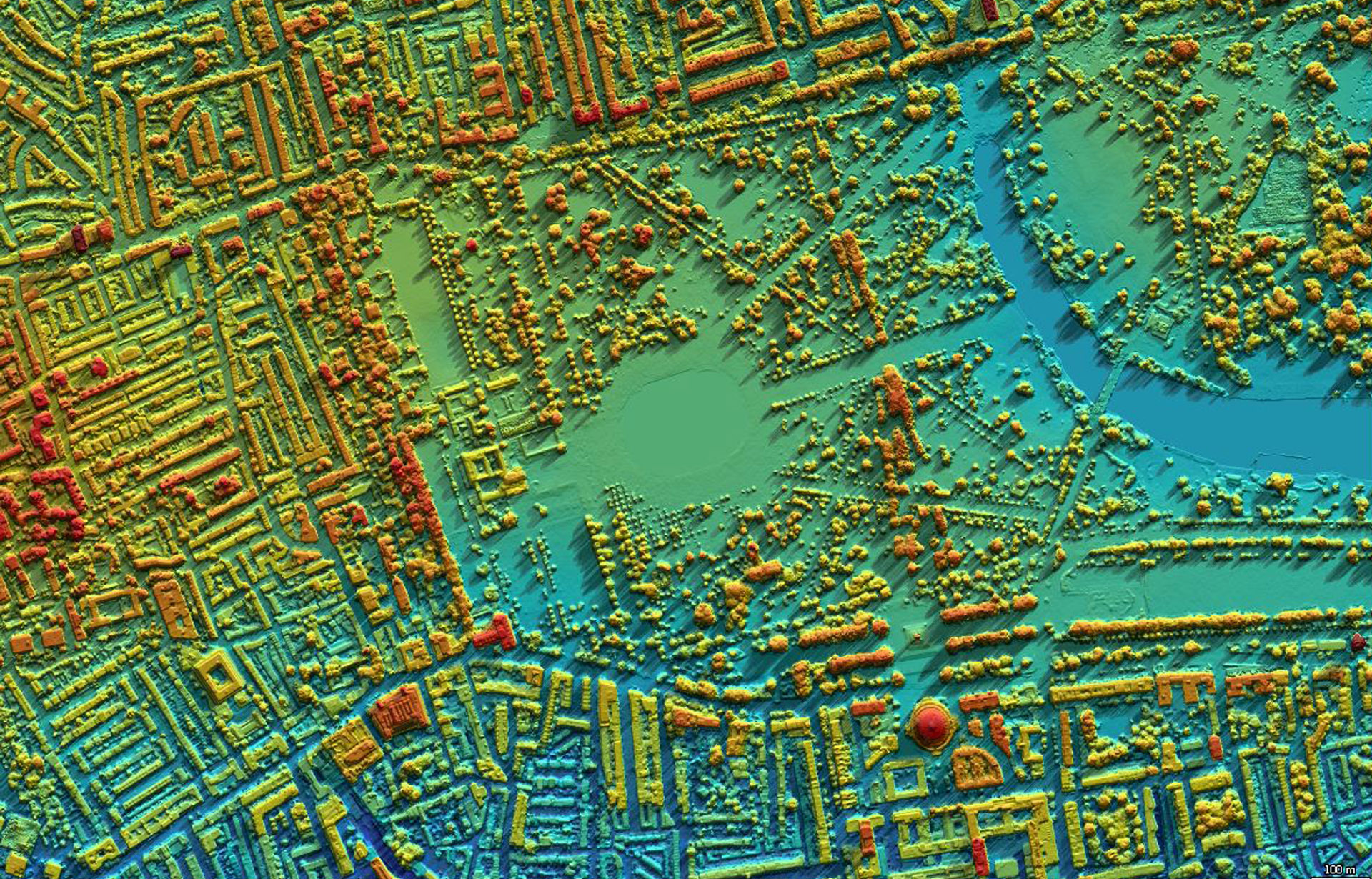
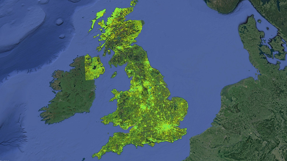
WorldView - London, UK - ©CGG, includes copyrighted material of DigitalGlobe Inc.
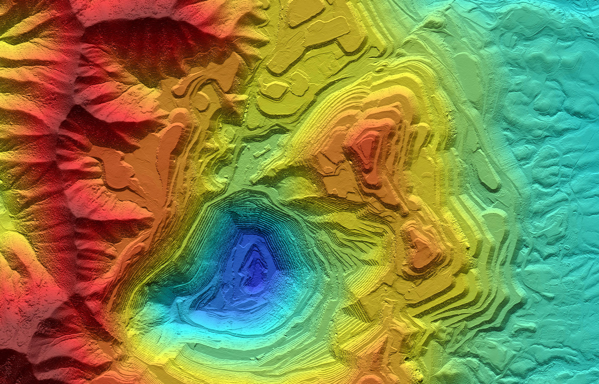
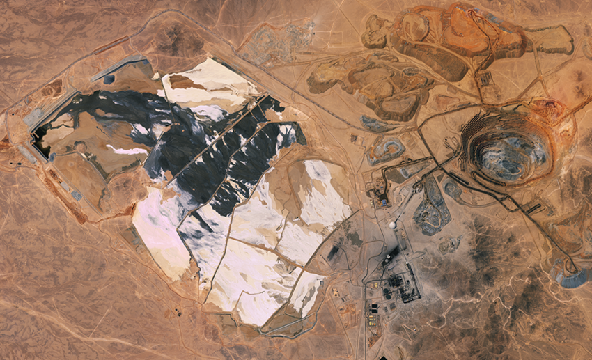
Kompsat-3 - Bingham Canyon, USA - ©CGG, includes material ©KARI, Distribution by SIIS
KOMPSAT-3A - Bingham Canyon, USA - ©CGG, includes material ©KARI, Distribution by SIIS
Digital Elevation Model Specifications
|
Source |
Year(s) |
Resolution |
Horizontal Accuracy |
Vertical Accuracy |
|
WorldView (1-4) DEM |
2007–present |
1 m |
1–5 m |
0.15–1.0 m (control needed) |
|
GeoEye-1 DEM |
2008–present |
1 m |
1–5 m |
0.15–1.0 m (control needed) |
|
Kompsat-3 DEM |
2012–present |
1 m |
1–5 m |
0.5–1.0 m (control needed) |
|
Kompsat-3A DEM |
2015–present |
1 m |
1–5 m |
0.4–1.0 m (control needed) |
|
Pleiades DEM |
2011–present |
1 m |
1–5 m |
0.5–1.0 m (control needed) |
|
WV Advanced Elevation Series |
2007–present |
8 m/4 m/2 m |
5 m/2 m/1 m |
5 m/2 m/1 m |
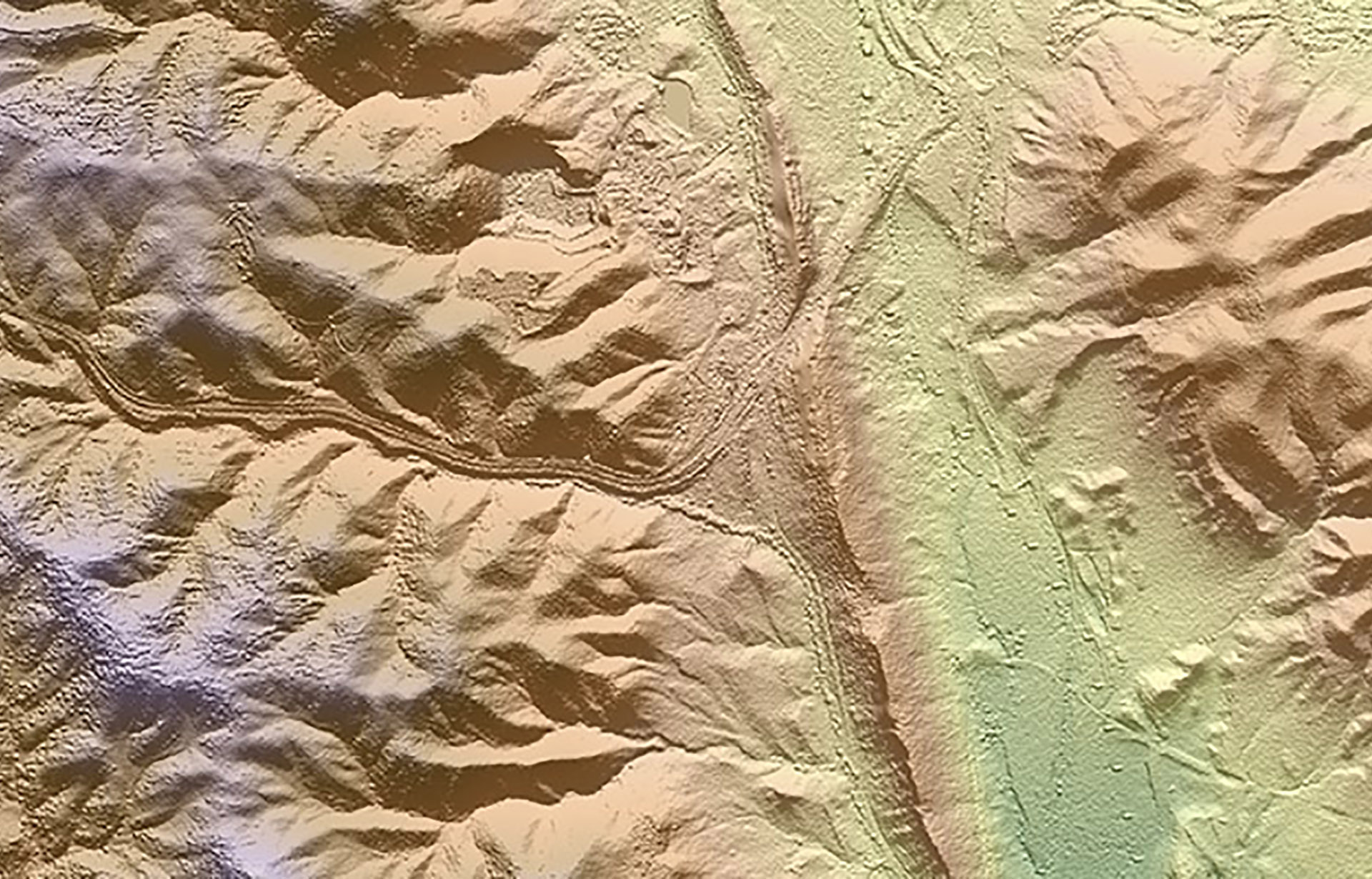
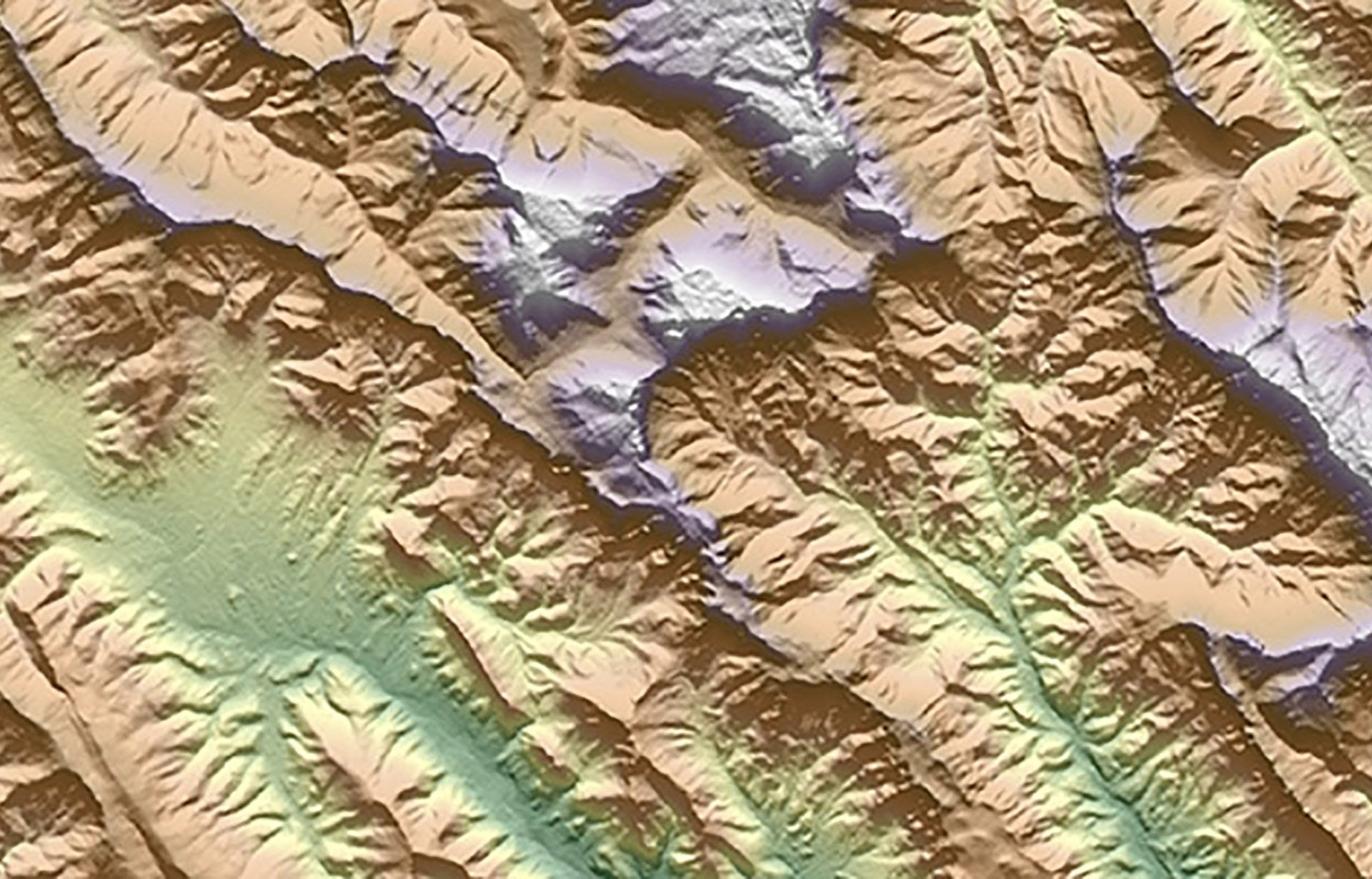
Off-the-Shelf Elevation Data
Our unbiased knowledge connects you with the best off-the-shelf elevation data options. As an independent supplier for satellite operators around the globe, we provide comprehensive and impartial advice, every time.
Airborne LiDAR - Glasgow, Scotland - ©Precision Terrain Surveys
NextMap - Colorado, USA - ©Intermap
SPOT-5 - Irbil, Kurdistan, Iraq - ©CNES
SPOT-6/7 - Provence, France - ©CNES
SRTM DEM - Spilk, Kurdistan, Iraq
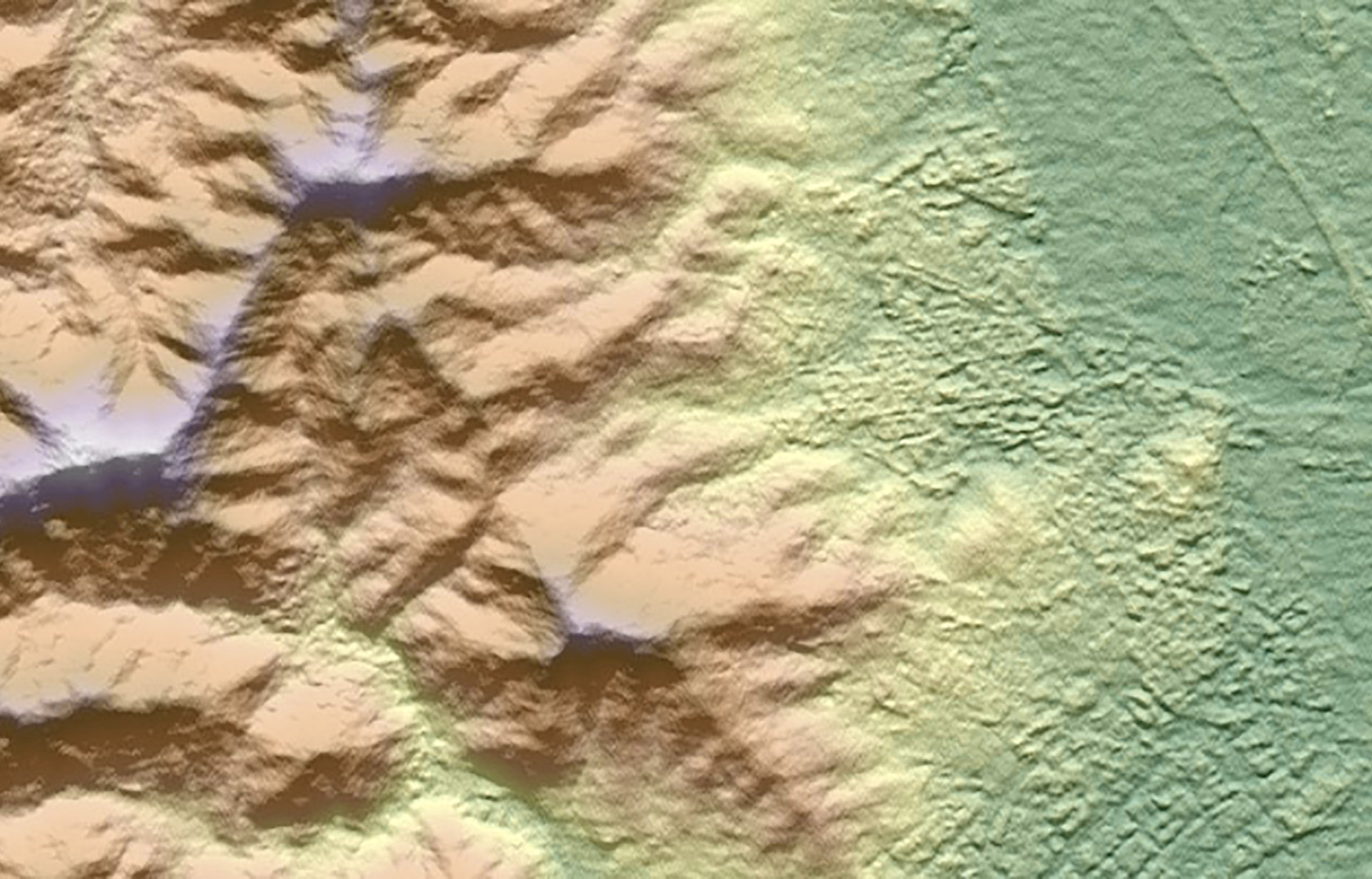
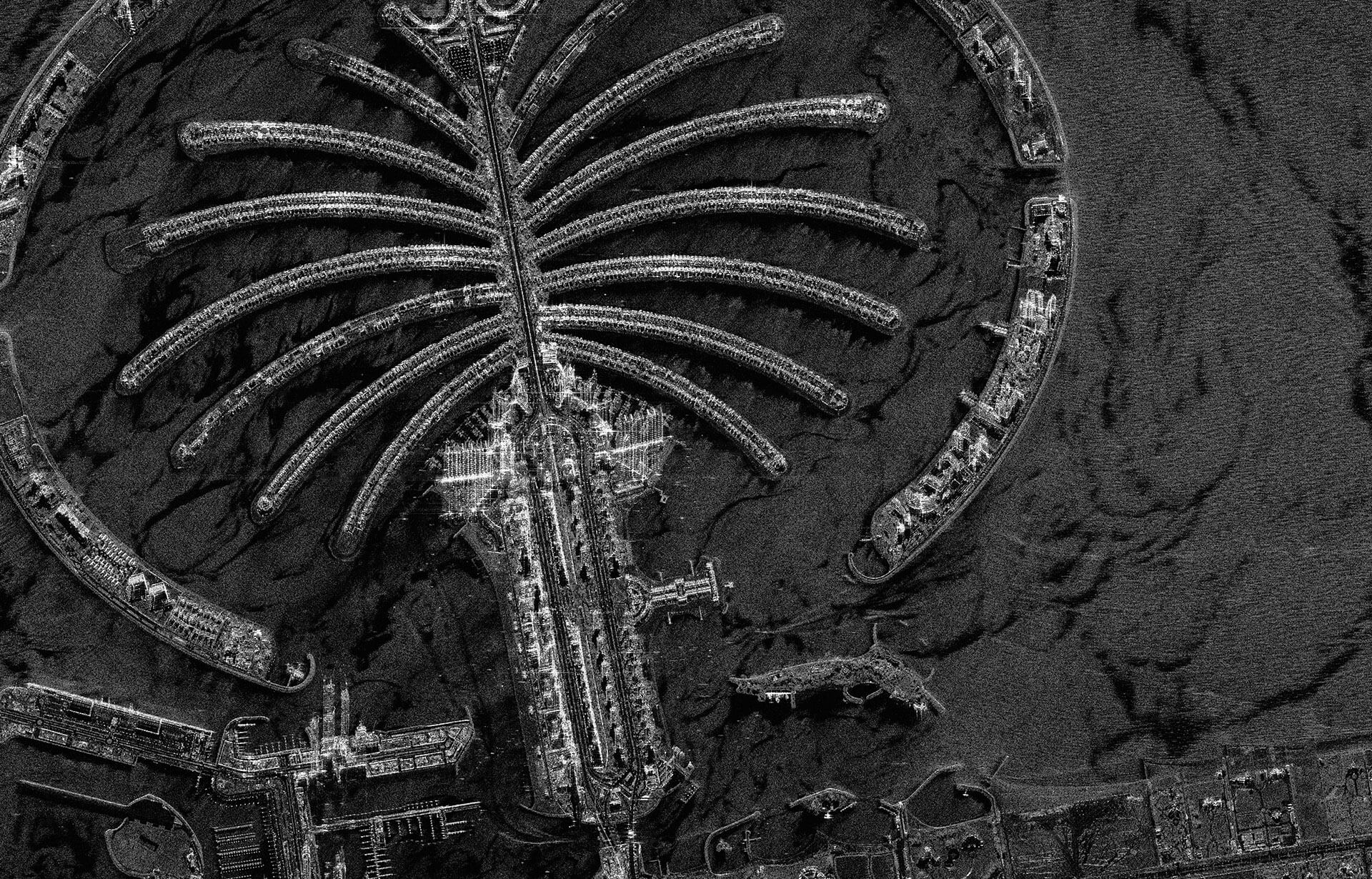
TerraSAR-X - Barcelona, Spain - ©DLR e.V. and ©Airbus DS / Infoterra GmbH
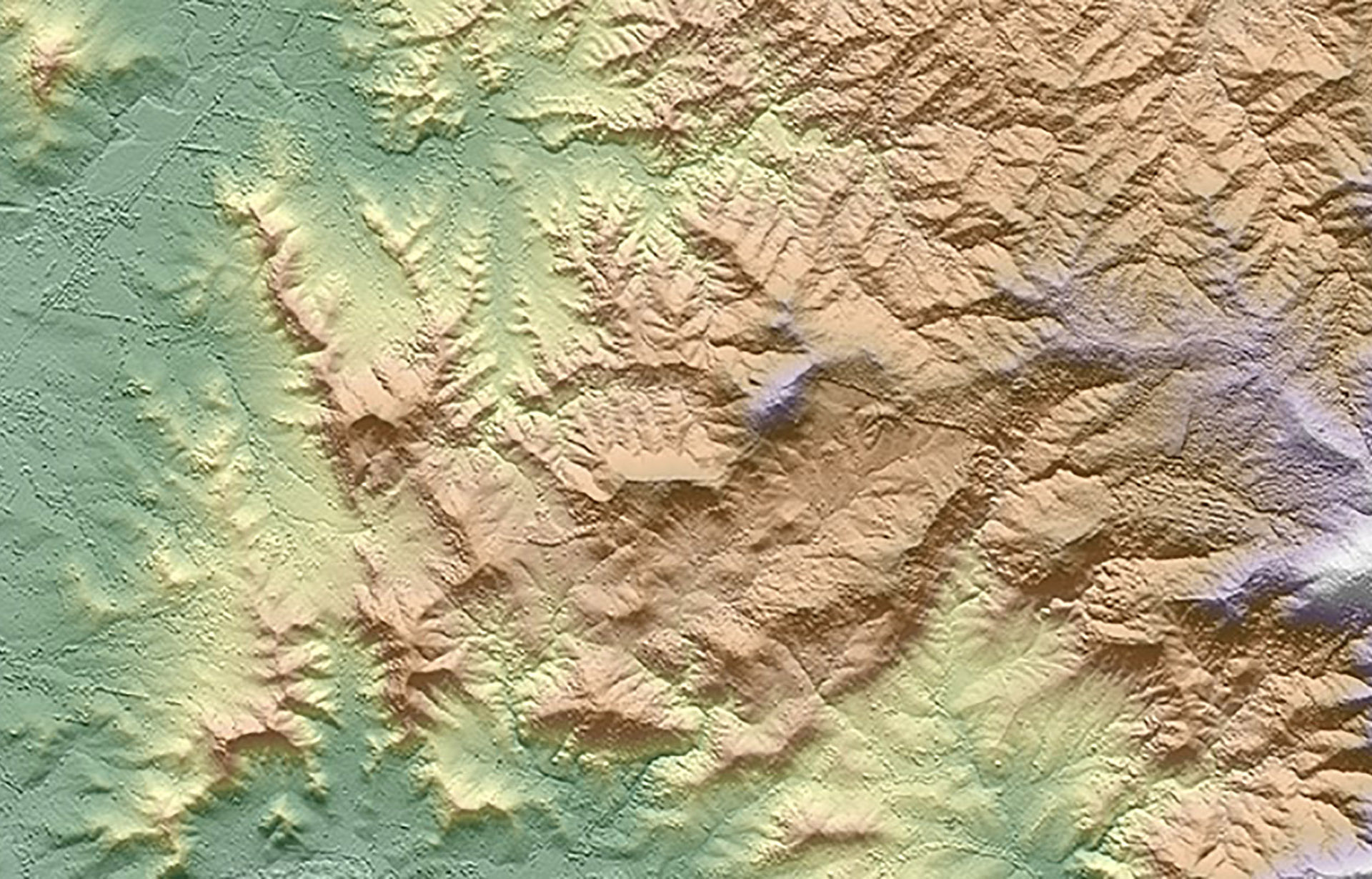
WorldDEM - Wagga Wagga, Australia - ©DLR e.V. and ©Airbus DS / Infoterra GmbH
ZiYuan-3 - Shenyang, China - includes material ©SASMAC
ASTER GDEM - Spilk, Kurdistan, Iraq - ©ASTER GDEM is a product of METI & NASA
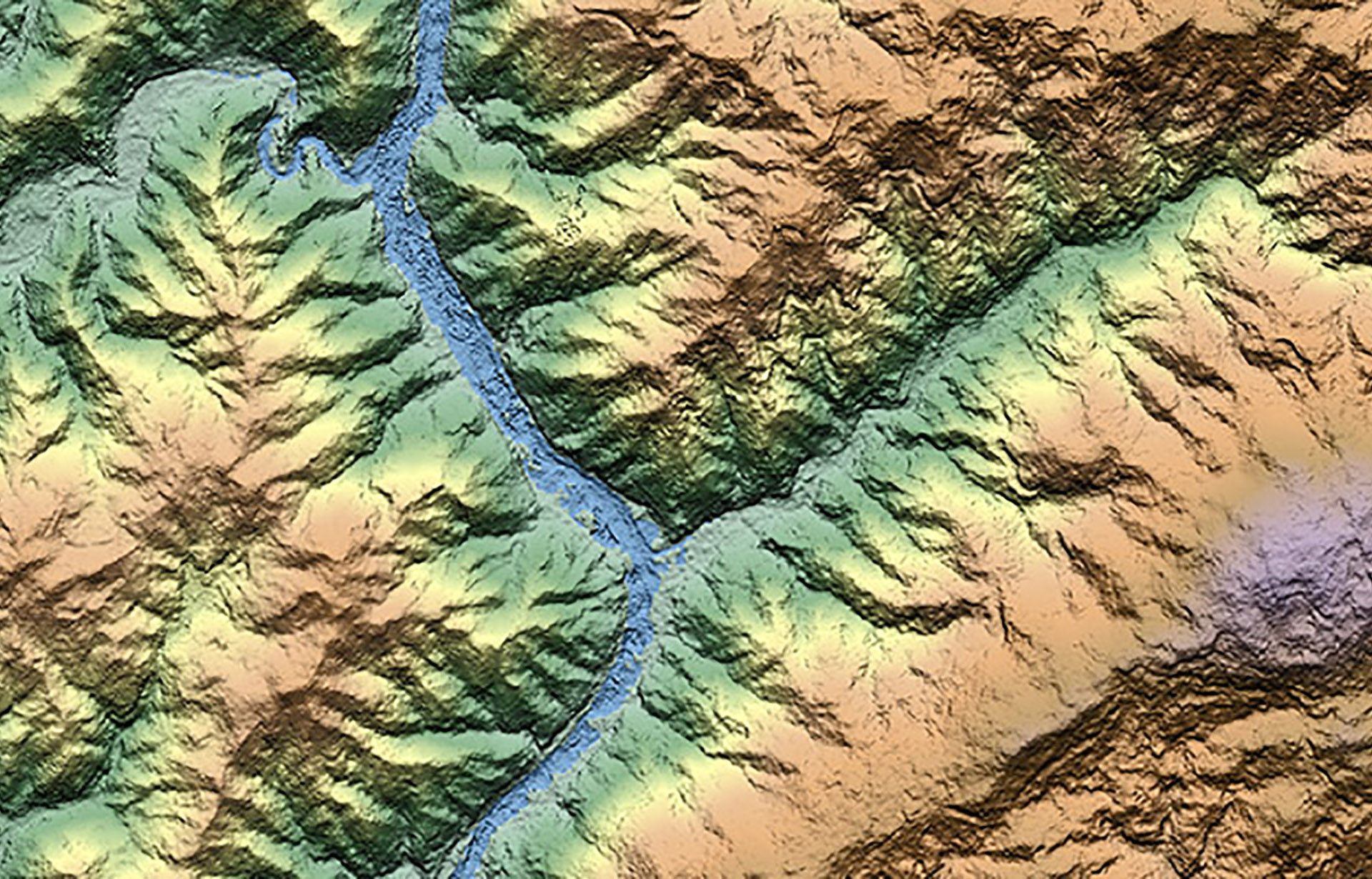
ALOS World 3D (AW3D) - Kyushu, Japan - ©RESTEC, RESTEC/Included ©JAXA
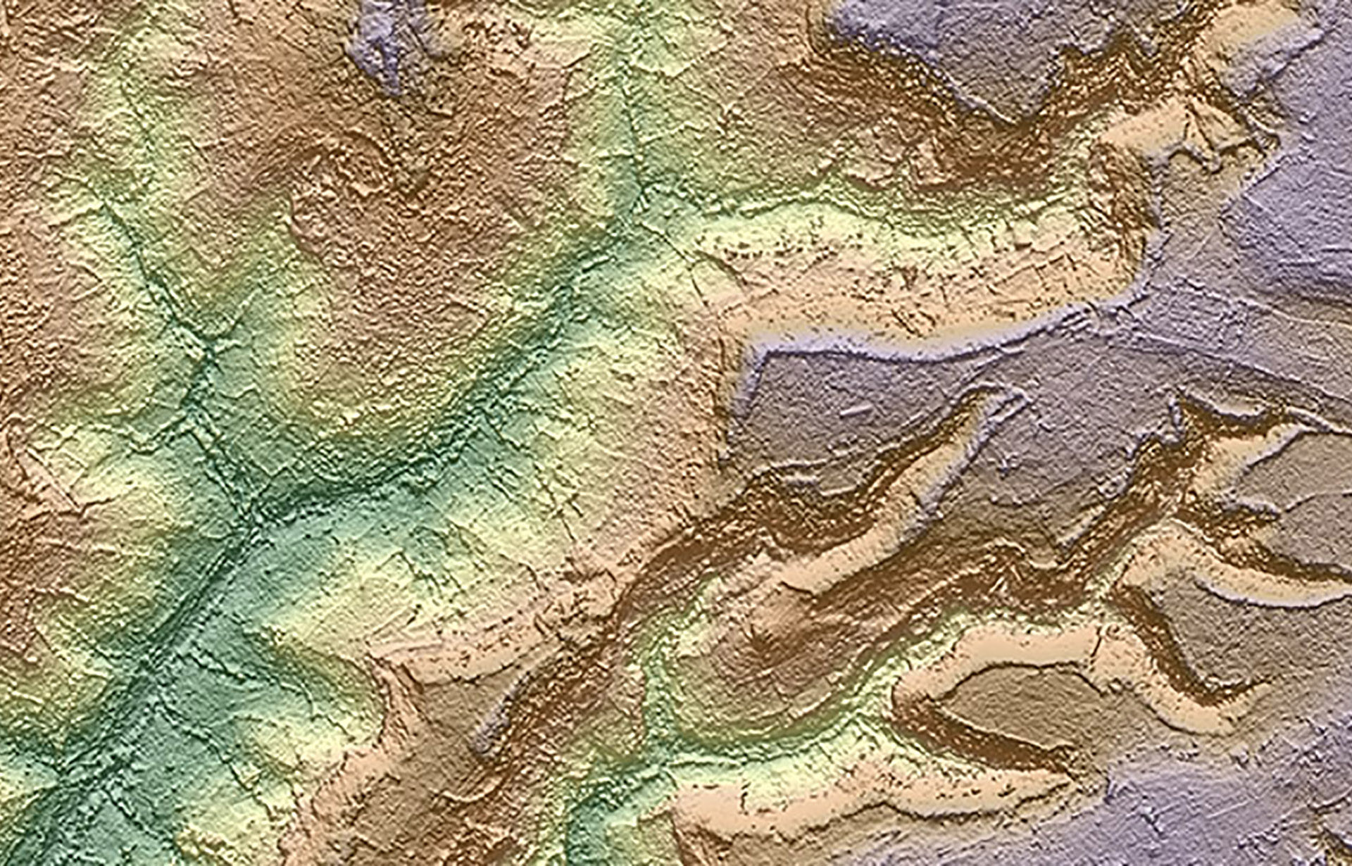
Cartosat-1 - Gloucestershire, UK - ©Antrix/Euromap
Digital Elevation Model Specifications
|
Source |
Year(s) |
Resolution |
Horizontal Accuracy |
Vertical Accuracy |
|
SuperView DEM |
2016–present |
1 m |
1–5 m |
0.3–1.0 m (control needed) |
|
AW3D (ALOS PRISM) |
2006–2011 |
5 m/10 m |
5–7 m |
5–7 m |
|
AW3D (ALOS PRISM) 30 m Global |
2006–2011 |
30 m/2.5 m |
5 m |
5–7 m |
|
SPOT 6/7 DEM |
2012–present |
8 m |
15 m |
3–10 m |
|
TerraSAR-X DEM |
2007–present |
10 m |
5–10 m |
5–10 m |
|
WorldDEM |
2010–2014 |
12 m |
10 m |
2–10 m |
|
SPOT HRS DEM |
2002–2015 |
20 m |
15 m |
5–20 m |
|
ASTER GDEM |
2000–2013 |
25 m |
30 m |
15–30 m |
|
SRTM |
February 2000 |
30 m/90 m |
30 m |
5–15 m |
|
MDA Standard DSM / High Accuracy DSM |
2008–present |
10 m/6 m |
10 m/6 m |
10 m/8 m |
|
NEXTMap 5 m |
– |
5 m |
1 m |
3 m |
More Satellite Mapping Products & Services
Optical Satellite Imagery
Get the highest quality satellite images and best processing options from CGG, an independent supplier for satellite operators.
Radar Satellite Imagery
Access high-quality radar satellite images with the best processing options from CGG, an independent supplier for satellite operators.

Satellite Elevation Data
Obtain the highest quality satellite elevation data and best processing options for topographic mapping and monitoring operations.
Seepage Detection
Reduce exploration risk by identifying seepage and oil or gas accumulations from which the seeps originate.
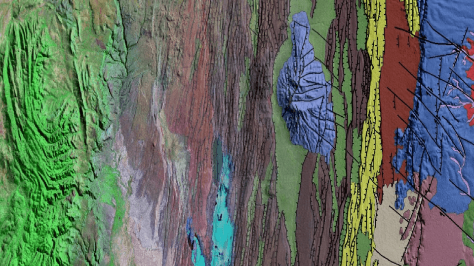
Geological Mapping
Minimize your risk with our geospatial database and global insight into regional and local surface structure and lithology.
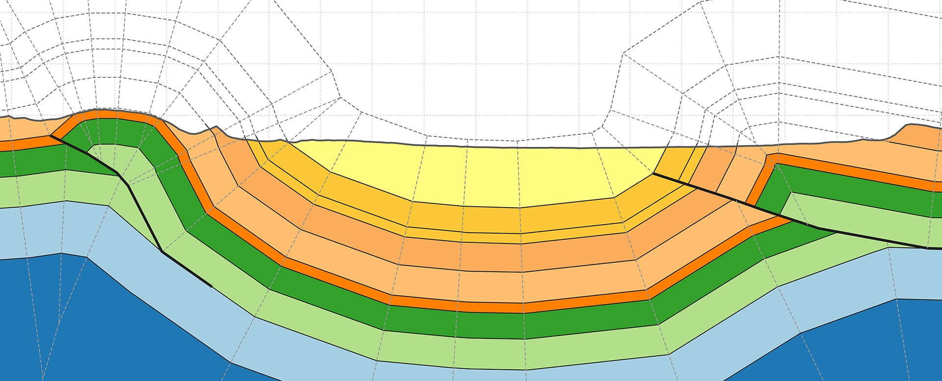
Geological Cross-Sections
Take advantage of extensive geological expertise and state-of-the-art software to validate geological interpretations and de-risk models.
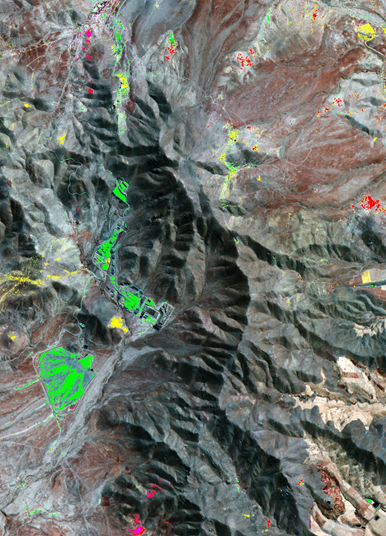
Mineral Mapping
Identify the most promising targets for follow-up field work using our mineral mapping services.
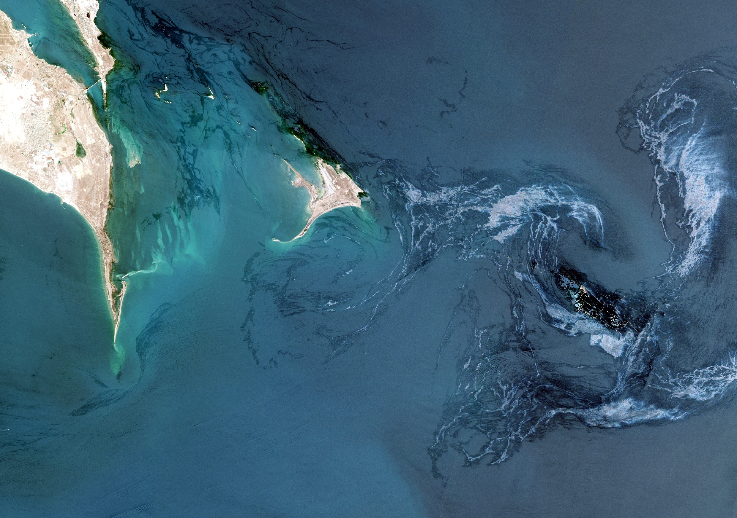
Oil Spill Detection & Monitoring
Mitigate oil spill risk associated with operating in the marine and coastal environments with our unique and independent insight.
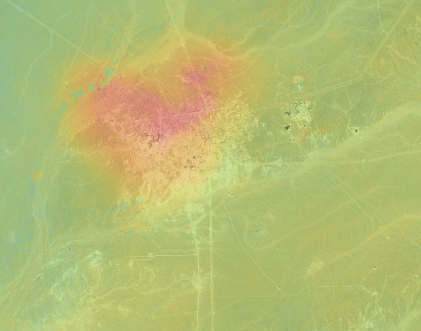
InSAR
Reduce risk and improve planning with cutting-edge InSAR solutions that deliver remote intelligence on surface deformation.
MotionMap UK
Get insight into location, extent and evolution of ground stability hazards across the United Kingdom.
MineScope
Make smarter geological, geotechnical and safety-related decisions with remote, satellite-derived intelligence across mine sites.