Mississippi Canyon
Improve model accuracy and image quality with OBN
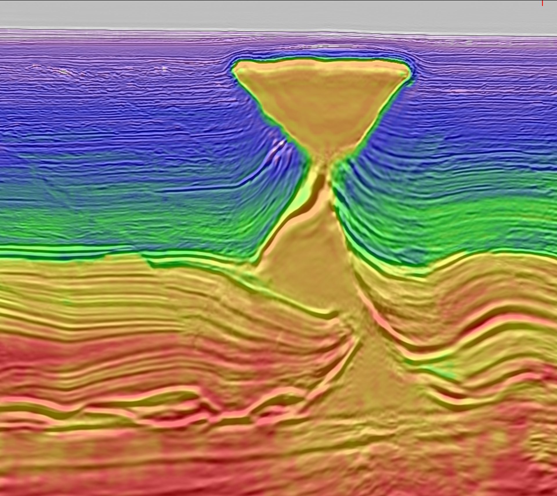
The Mississippi Canyon Ocean Bottom Node (OBN) survey is CGG’s first multi-client OBN project in the Gulf of Mexico. This dense node survey provides well-sampled, long offset, full-azimuth data, and has been processed using CGG’s cutting-edge imaging workflows. Impressive imaging results demonstrate a step-change improvement in model accuracy and image quality in this complex subsalt setting.
Products and processing highlights
Deliverables include a TTI RTM PSDM, LS RTM, LS Q-RTM and a TTI Kirchhoff PSDM featuring:
- Latest 3D deghosting
- Advanced full waveform inversions, including time-lag FWI
Request a Shapefile
Learn more about our multi-client library coverage. Request a zipped shapefile (.shp) for your region of interest.
Related Surveys
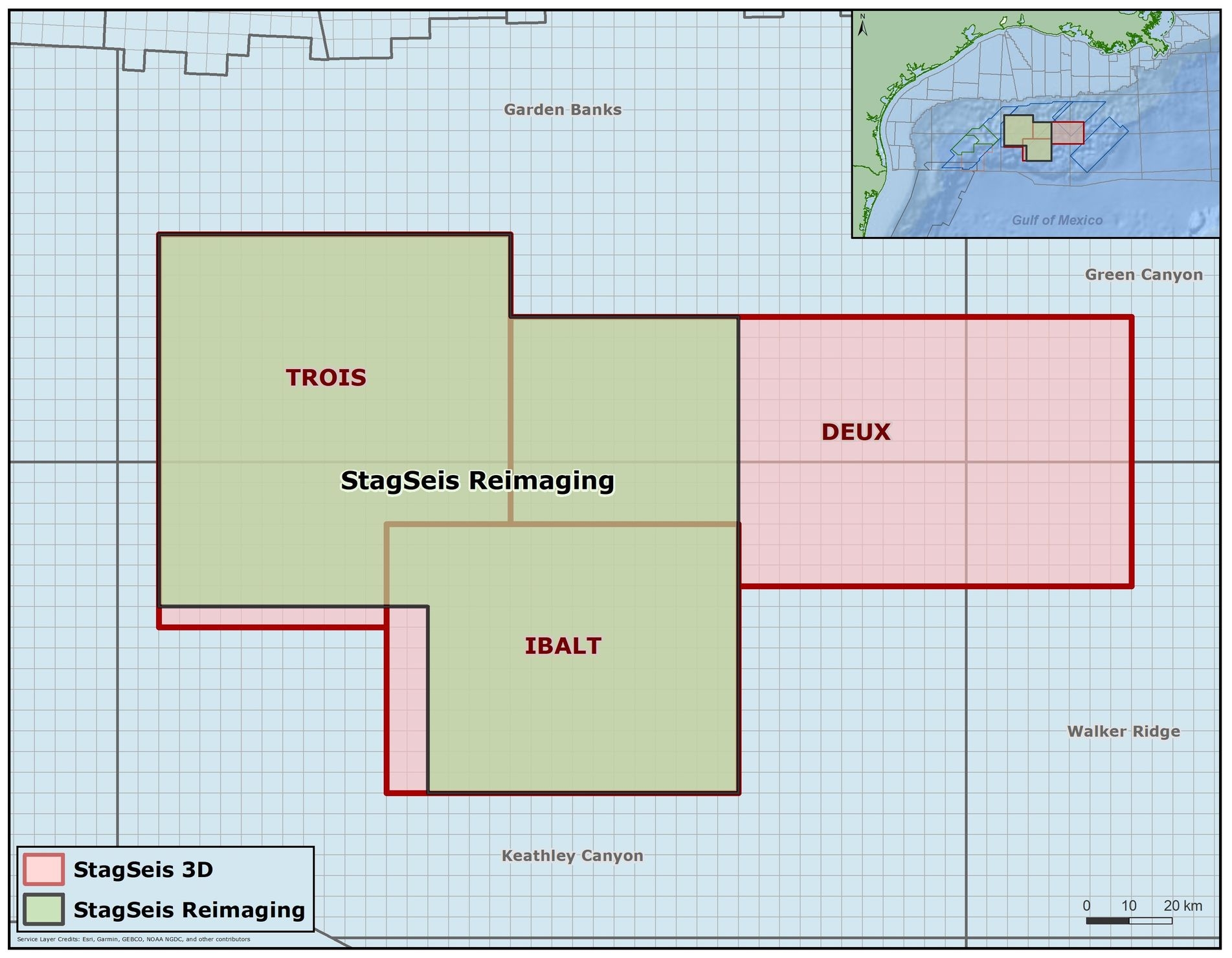
StagSeis Gulf of Mexico
Get outstanding imaging of the subsalt with our Gulf of Mexico StagSeis™ surveys: IBALT, Deux and Trois.
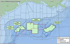
Reimaging Gulf of Mexico
Bring new value to legacy data sets with advanced reprocessed seismic data for the Gulf of Mexico.
Alaminos Canyon C-WAz
Access full azimuthal coverage and improved imaging of complex geological structures in the Gulf of Mexico.
Explore available multi-client data using our interactive map.
Explore the GeoStore