Multi-Client Seismic Data
Accelerate your workflows with high-quality, off-the-shelf data.

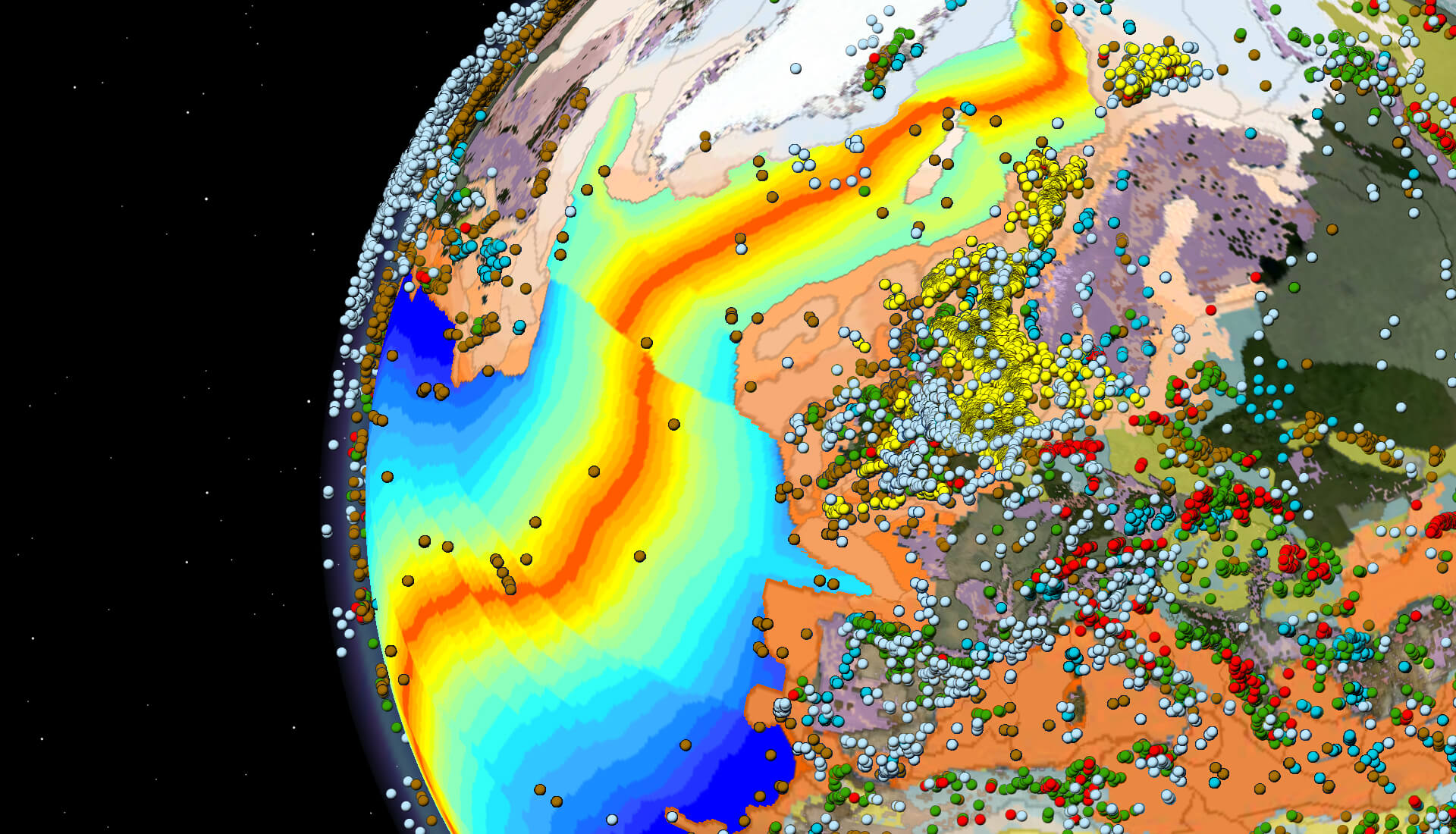
Seismic Data Regions
Access the latest and most technologically advanced seismic data library in the world’s key locations.
APA 2023
- NCS APA & Carbon Storage Licensing Rounds
- Northern Viking Graben
- Southern Viking Graben
- Greater Castberg, Barents Sea
UK 33rd Offshore Licensing Round
Brazil's Permanent Offer Initiative
Australia Acreage Release
Find the data and insights you need to make informed investment decisions. Our surveys span the globe, including mature, developing and frontier basins. Reduce your exploration risk and the time required to go from license award to drilling wells.
Explore available multi-client data using our interactive map.
Explore the GeoStore
UK Contact
+44 (0) 1293 68300 datalibrary.eame@cgg.comRio de Janeiro Contact
+55 21 2126 7345 datalibrary.nala@cgg.comPerth Contact
+61 8 9214 6200 MCapac@cgg.comLegacy Data
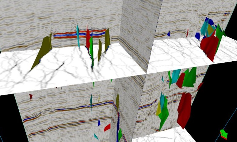
Revitalized legacy data and interpretational products integrate seismic, well, satellite, potential fields and geological data to deliver regional insight in frontier areas.
Offshore Africa, our state-of-the-art imaging delivers outstanding data sets for deep pre-salt prospecting and high-definition interpretation of shallow targets.
Explore available multi-client data using our interactive map.
Explore the GeoStore
Australia Surveys
Southeast Asia Surveys
With modern seismic data sets throughout the Asia-Pacific region, our diverse multi-client data library offers solutions to explorers in some of the world’s most promising and prospective basins. Our data sets provide exceptional data quality and can help you reveal new exploration opportunities.
Explore available multi-client data using our interactive map.
Explore the GeoStore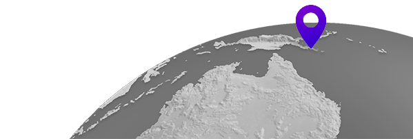
Bindu Mishra
+65 9271 6702 MCapac@cgg.comLegacy Data
Revitalized legacy data and interpretational products integrate seismic, well, satellite, potential fields and geological data to deliver regional insight in frontier areas.
We invest in new acquisition technologies and regularly reprocess with the latest CGG imaging techniques to provide the highest-quality products in the core basins of Northwest Europe. With the new dual-azimuth and OBN programs in the UK Central North Sea and Norwegian North Sea, we bring a significant step-change in multi-client data value to the region.
Explore available multi-client data using our interactive map.
Explore the GeoStore
Hari Krishna
+44 (0)1293 683000 datalibrary.eame@cgg.comErling Frantzen
datalibrary.scan@cgg.comWith one of the largest libraries of non-exclusive seismic data available for license in the Gulf of Mexico, we offer the industry’s most recent and technologically advanced multi-client data sets. Our advanced wide- and full-azimuth surveys deliver enhanced illumination and low-frequency penetration for staggering subsalt images. Reprocessing programs bring new life to legacy data sets, and our OBN survey offers unsurpassed high-quality imaging of complex structures in the Mississippi Canyon.
Explore available multi-client data using our interactive map.
Explore the GeoStore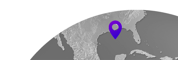
Gulf of Mexico Contact
+1 (832) 351 8501 datalibrary.nala@cgg.comWith over 100,000 km2 of contiguous, high-quality broadband, pre-stack depth-migrated data in the Santos and Campos Basins alone, we provide an unparalleled resource for pre-salt exploration in this region.
Explore available multi-client data using our interactive map.
Explore the GeoStore
Houston Contact
+1 (832) 351 8676 datalibrary.nala@cgg.comRio de Janeiro Contact
+55 21 2126 7345 datalibrary.nala@cgg.com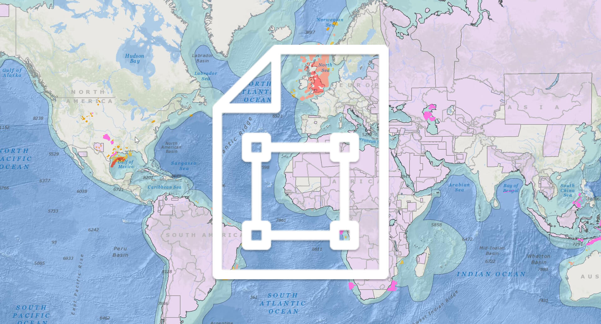
Request a Shapefile
Learn more about our multi-client library coverage. Request a zipped shapefile (.shp) for your region of interest.