Technical Abstract
Acoustic Land Full-Waveform Inversion with Free-Surface Topography in Oman
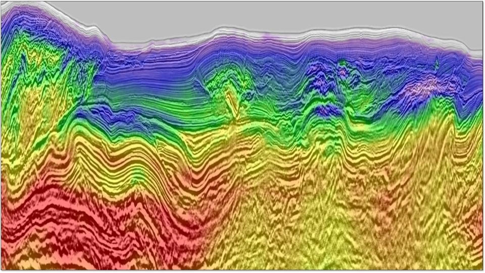
Back to Technical ContentSuccessful applications of full waveform inversion (FWI) to land datasets are far less numerous than marine applications, yet the development of dense, long-offset broadband acquisitions has presented promising opportunities. While challenges exist due to elastic effects, acoustic land FWI has been shown to provide accurate velocity models with a level of resolution traditionally seen only with marine data. The first successful land applications in Oman have been obtained on surveys with only minor variations in surface elevation, and have encouraged the development of FWI capabilities to handle more significant topography. We present a boundary-conforming free-surface topography method for FWI, cast in the curvilinear domain. In a synthetic example, we benchmark this approach against the use of an absorbing surface boundary and a replacement velocity in the air layer (the model extension method), and the method of applying statics shifts to compensate for elevation variations. Finally, we show two real data applications from North and South Oman where our free-surface topography tool illustrates imaging uplifts over FWI results obtained with an absorbing surface and legacy tomography.
Download Resource 
Publications
EAGE - European Association of Geoscientists and EngineersAuthors
Gillian Royle, Olivier Leblanc, Ghislain Viguier, Gilles Lambare, Anna Sedova, Svetlana Shutova, Diego Carotti


