Technical Abstract
Depth Imaging in North Kuwait: Challenges and Solutions
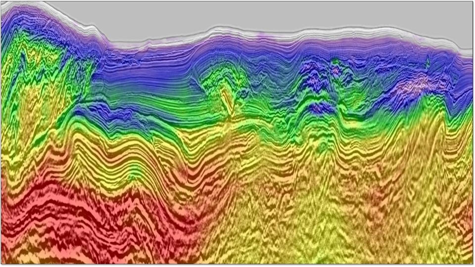
Back to Technical ContentWe present the main results of a tailored velocity model building workflow on a recent broadband survey from North Kuwait. Depth imaging in Kuwait presents several challenges, including the need to capture the strong velocity variations of a complex near surface that generates long and short wavelength distortions, the need for a detailed velocity model to accurately restore the structures of low-relief and faulted Cretaceous and Jurassic traps, and the difficult imaging of the Paleozoic structure hidden below a curtain of multiples. First, we give insight on a Multi-Wave Inversion and Full-Waveform Inversion workflow, which exploited the finely sampled surface waves and the diving waves to derive a high-resolution near-surface P-wave velocity model. Then we show how high-definition Multi-Layer Tomography is able to capture the complex velocity variations within the Cretaceous, which helps resolve imaging distortions. Finally, we focus on the imaging of the Paleozoic structures, which are key to understanding the regional geological history.
Download Resource 
Publications
EAGE - European Association of Geoscientists and EngineersAuthors
Thomas Rebert, Lilas VIVIN, Oualid Bouhdiche, Matthieu Retailleau, David Le Meur, Clement Bossy, Fakhreddine Haouam, Noni Rordjaroenpan (CGG) ; Adel El-Emam, Mohammad Ali, Halis Bayri (Kuwait Oil Company (KOC))


