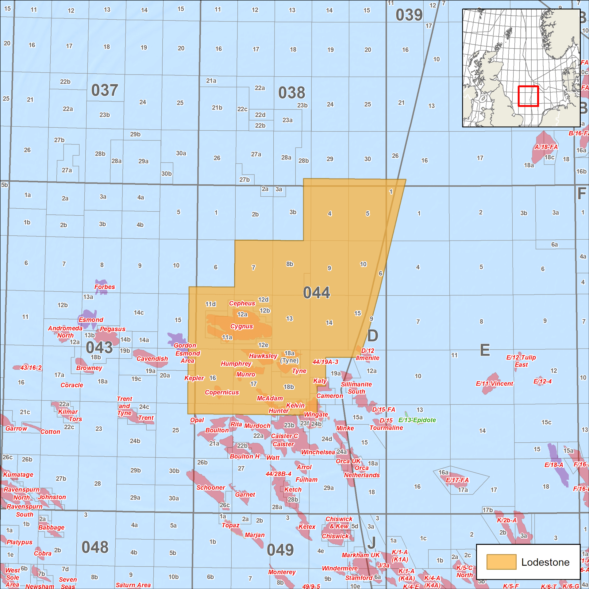
Southern North Sea Lodestone Survey
Evaluate Southern North Sea prospects with 3D seismic
Our long-offset 3D seismic data in the Southern North Sea provides an in-depth look at the area to enhance your exploration decisions. Identify prospect potential and missed pay with our Lodestone seismic survey, reprocessed through PSDM using our latest TomoML velocity modeling and bandwidth extension with ghost wavefield elimination (GWE).
We are undertaking a full reprocessing of a 1,770 km2 initial area to take advantage of the latest proprietary CGG Subsurface Imaging technologies and deliver an enhanced reservoir-focused volume for an improved understanding of future exploration opportunities. Results will be available in Q1 2023. For more information, please contact us using the form below.
Highlights
- 3,850 square kilometers of high-quality 3D seismic with final TomoML PSDM products available
- Situated in Quad 44, with numerous Carboniferous and Permian producing fields
- Full 3D image of the 2 Tcf Cygnus Gas Discovery

Request a Shapefile
Learn more about our multi-client library coverage. Request a zipped shapefile (.shp) for your region of interest.
Related Surveys
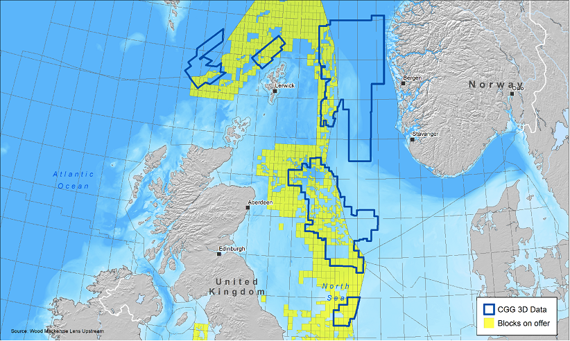
33rd UK Licensing Round
Jump start your North Sea development plans with the most recent and advanced seismic data.
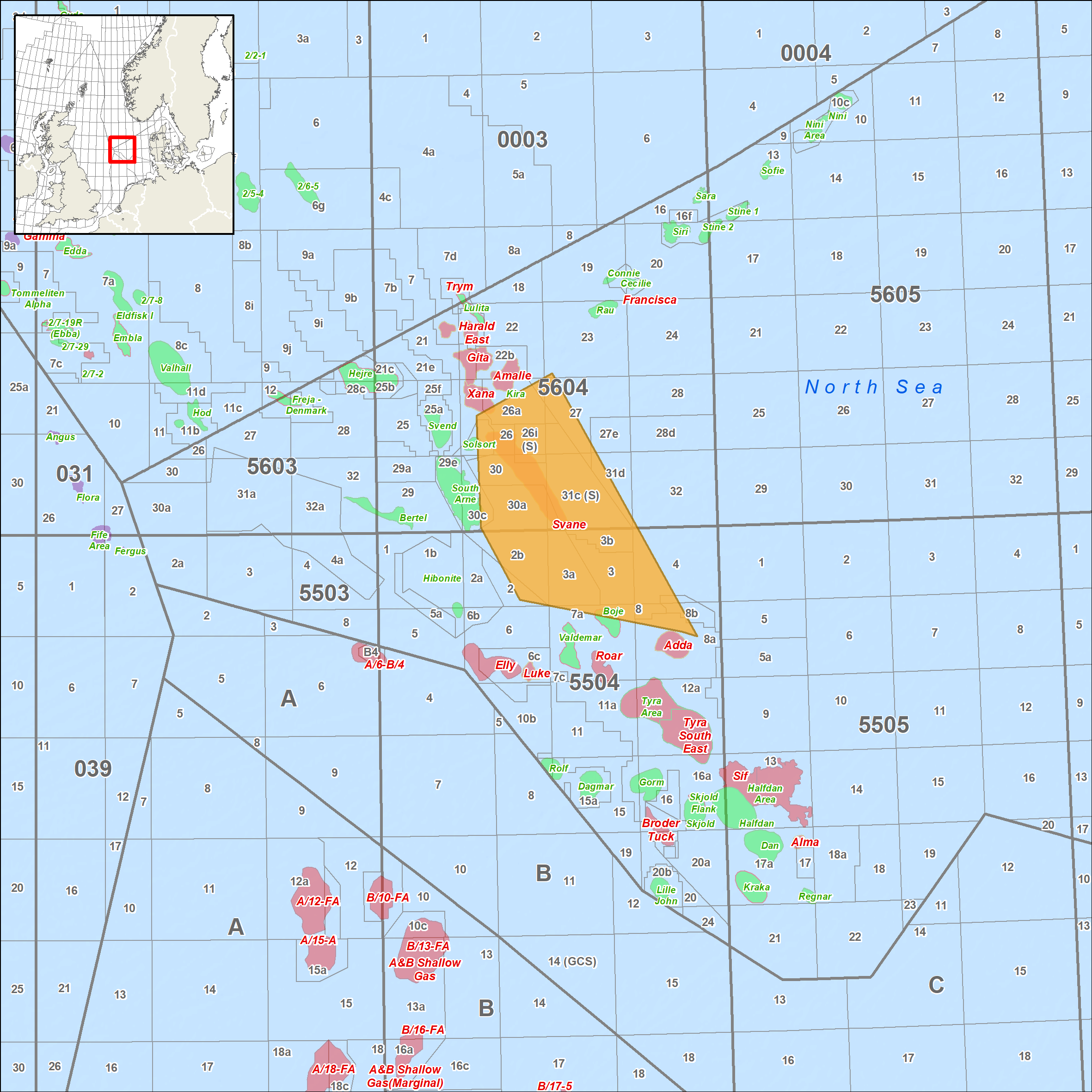
Denmark
Get the highest resolution broadband seismic data in the Danish Central Graben for better exploration certainty.
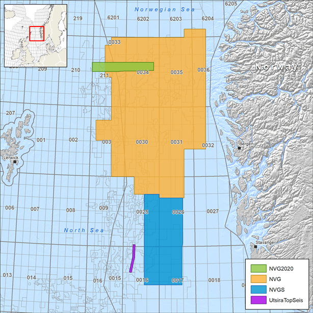
North Viking Graben
Get consistent broadband PSDM 3D seismic coverage in the North Sea with our Horda, Tampen and NVG South extension data sets.
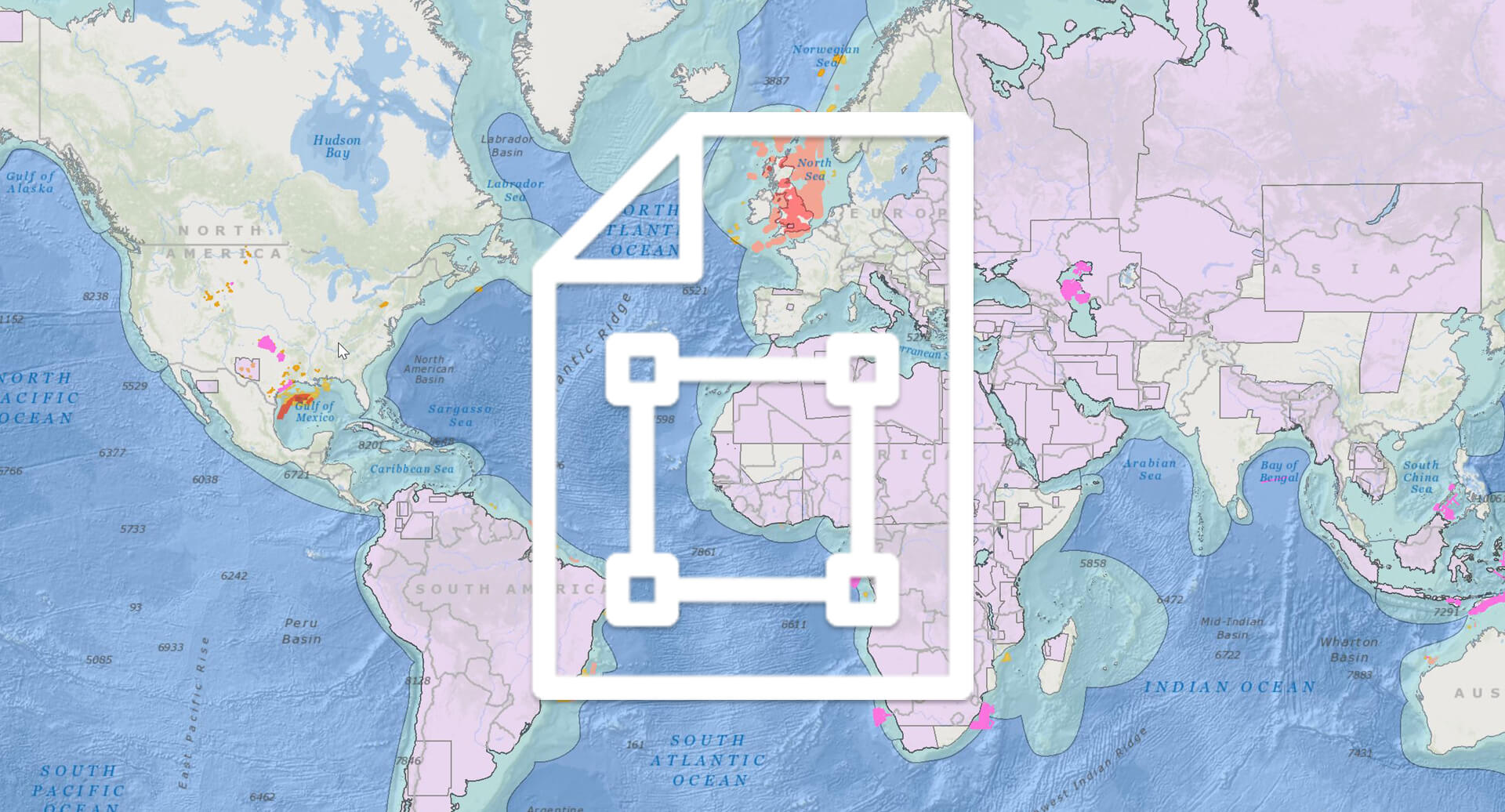
Explore available multi-client data using our interactive map.
Explore the GeoStore