


Sercel Launches MetaBlue Land: A Game-Changing Data-Driven Collaboration Solution for Managing Land Seismic Surveys
Paris, France | Jan 31, 2024
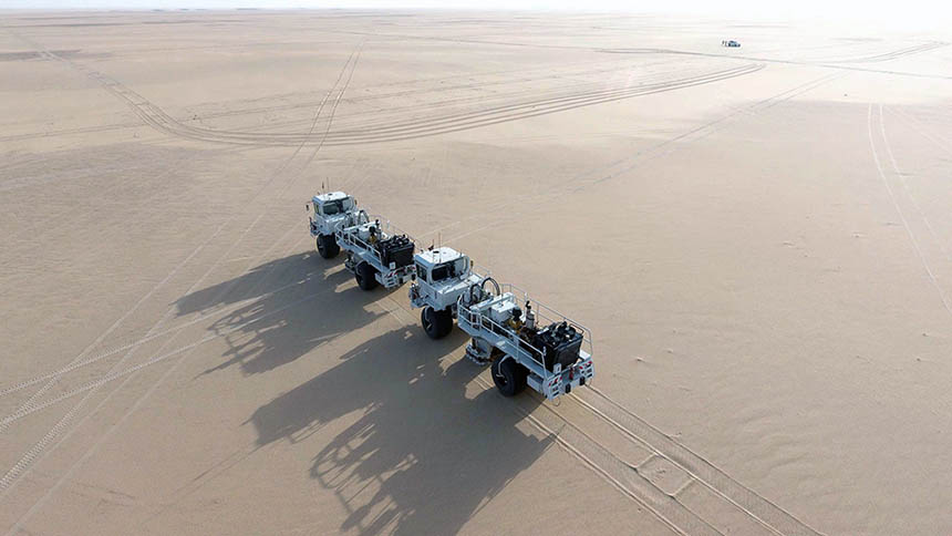
Sercel is pleased to announce the launch of MetaBlueTM Land, a data-driven collaboration solution for optimum management of land and transition zone seismic surveys to boost productivity, improve safety, and ensure acquisition of the highest-quality data on every type of onshore seismic project.
MetaBlue Land is an industry-first solution that seamlessly connects every stage of a project, from planning through acquisition to data delivery, while monitoring survey progress in real time. It breaks down operational silos by allowing information-sharing between all the project stakeholders within a single ecosystem to enable informed decisions.
MetaBlue Land brings together all the data collected by the various Sercel software and technologies used throughout a land survey, such as its MESA® survey design and planning software and 528TM, WiNGNT, VE564TM, Nomad 65 Neo and 90 Neo, and Vibrator Auto-Guidance acquisition solutions. MetaBlue Land is further enriched by data from Sercel’s unique services including Train & Launch, Asset Optimization, and Operational Excellence, delivered by its trusted experts to support customer projects 24/7.
Daniel Boucard, Sercel CTO, said: “Following our successful launch of MetaBlue Marine last year, we are delighted to announce the extension of this innovation to land seismic operations. With MetaBlue Land, we are introducing the most comprehensive and advanced survey management solution to the land seismic acquisition market, with the aim of completely redefining project management to enable our customers to achieve optimum results.”
MetaBlue Land is an industry-first solution that seamlessly connects every stage of a project, from planning through acquisition to data delivery, while monitoring survey progress in real time.
About CGG
CGG (www.cgg.com) is a global technology and HPC leader that provides data, products, services and solutions in Earth science, data science, sensing and monitoring. Our unique portfolio supports our clients in efficiently and responsibly solving complex digital, energy transition, natural resource, environmental, and infrastructure challenges for a more sustainable future. CGG employs around 3,400 people worldwide and is listed on the Euronext Paris SA (ISIN: 0013181864).