


CGG Launches JumpStart Regional Geoscience Programs
Paris, France | Jun 14, 2017
CGG announced today at the 2017 EAGE Conference & Exhibition the launch of JumpStart™ multi-client geoscience programs designed to accelerate industry understanding of petroleum systems and support exploration efforts. CGG currently has seven JumpStart programs that include offshore areas of Mexico, Gabon, Australia, Norway, Indonesia & Timor Leste, and two areas offshore Brazil, with more programs in the pipeline.
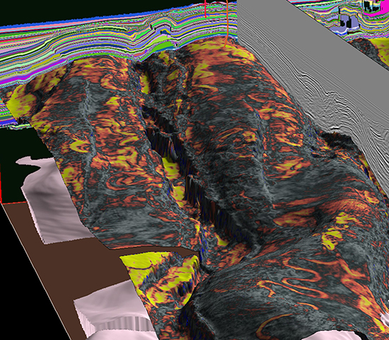
JumpStart programs integrate all available data in a specific geographical area and frame it within a geological context. This enables clients to directly access, in one place, the reviewed, validated, calibrated and interpreted data set, in a consistent, accessible and ready-to-use format.
JumpStart builds on CGG’s advanced multi-client seismic data and incorporates key wells, through a consistent interpretation. Where appropriate, wells are enhanced by new core and cuttings information. The seismic and well data are then integrated with all other available information, including CGG’s portfolio of geological studies, potential fields data, satellite seeps and geochemical data, to deliver a coherent and comprehensive geoscience package. JumpStart programs focus on the main petroleum geology components such as the source rock, the reservoir, the charge, the trap and the migration pathways to provide holistic data sets that build a framework to accelerate understanding of the basin’s petroleum system(s) and assess its prospectivity.
Jean-Georges Malcor, CEO, CGG, said: “Our JumpStart programs complement our comprehensive portfolio of multi-disciplinary multi-client products. They enhance the value of our seismic and provide a new level of regional context to give better insight into an area’s prospectivity. Representing the breadth of CGG’s geoscience capabilities, they bring together our Subsurface Imaging excellence with our GeoConsulting geological and reservoir expertise to deliver in a single, ready-to-use package all the information required to help explorers save valuable time and assess new opportunities more quickly.”
About CGG
CGG (www.cgg.com) is a global geoscience technology leader. Employing around 3,700 people worldwide, CGG provides a comprehensive range of data, products, services and solutions that support our clients to more efficiently and responsibly solve complex natural resource, environmental and infrastructure challenges. CGG is listed on the Euronext Paris SA (ISIN: 0013181864).