Geothermal Solutions
De-risk geothermal prospects with geoscience data, technology and expertise
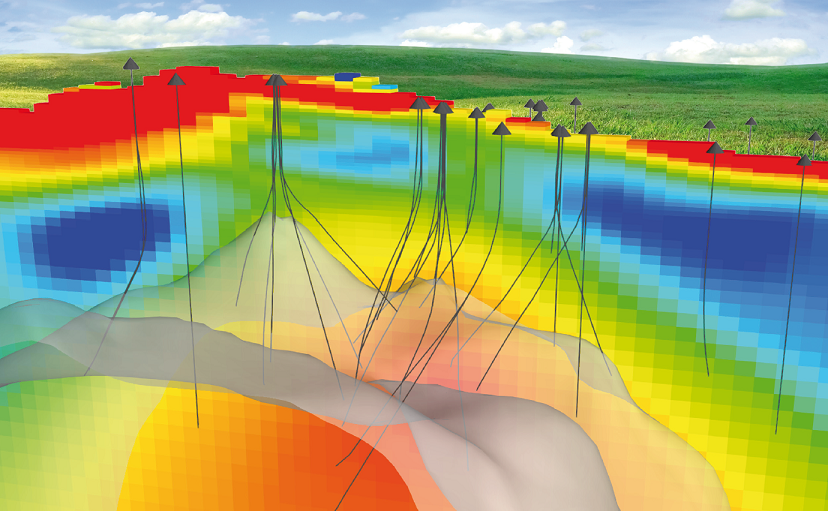
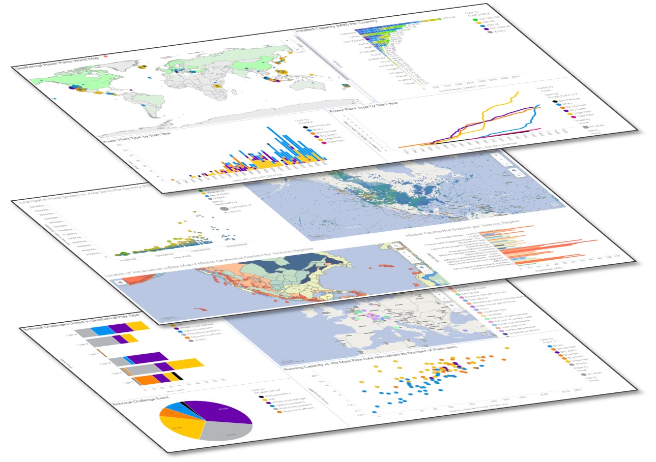
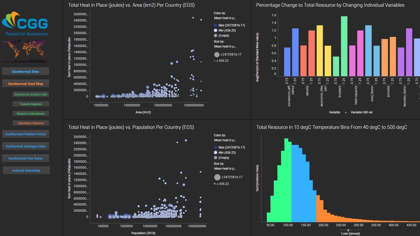
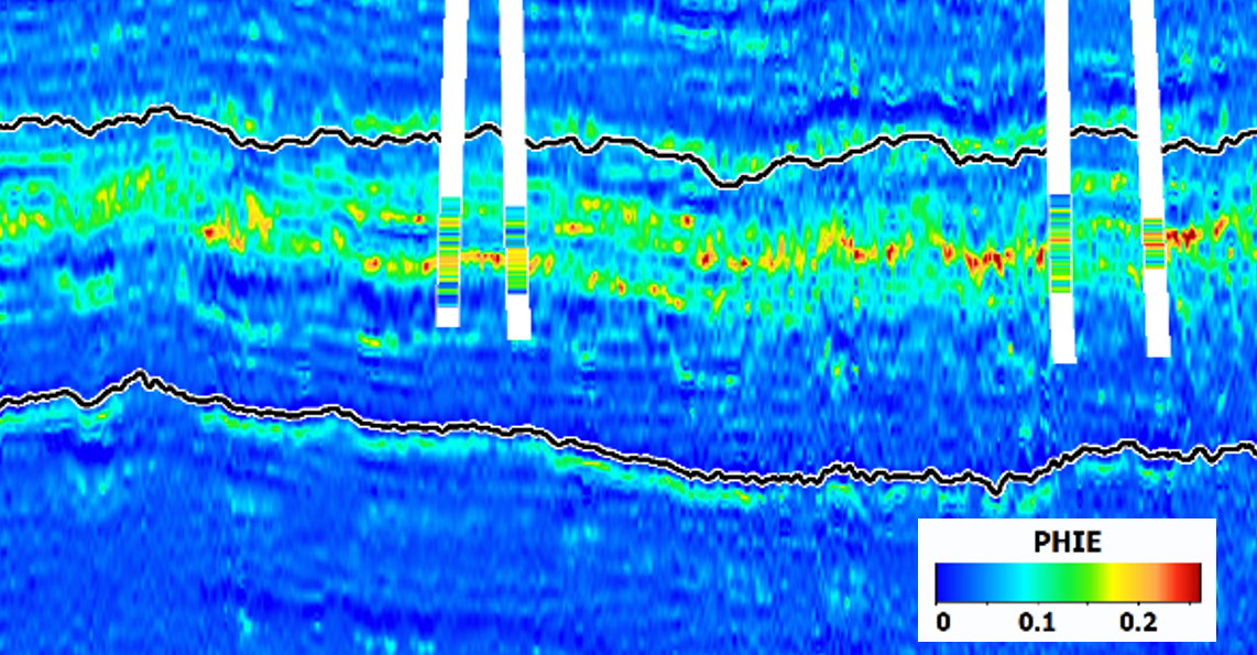
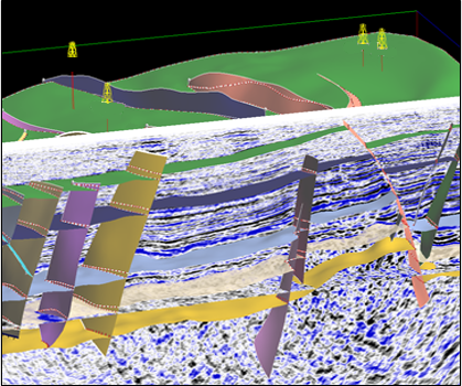
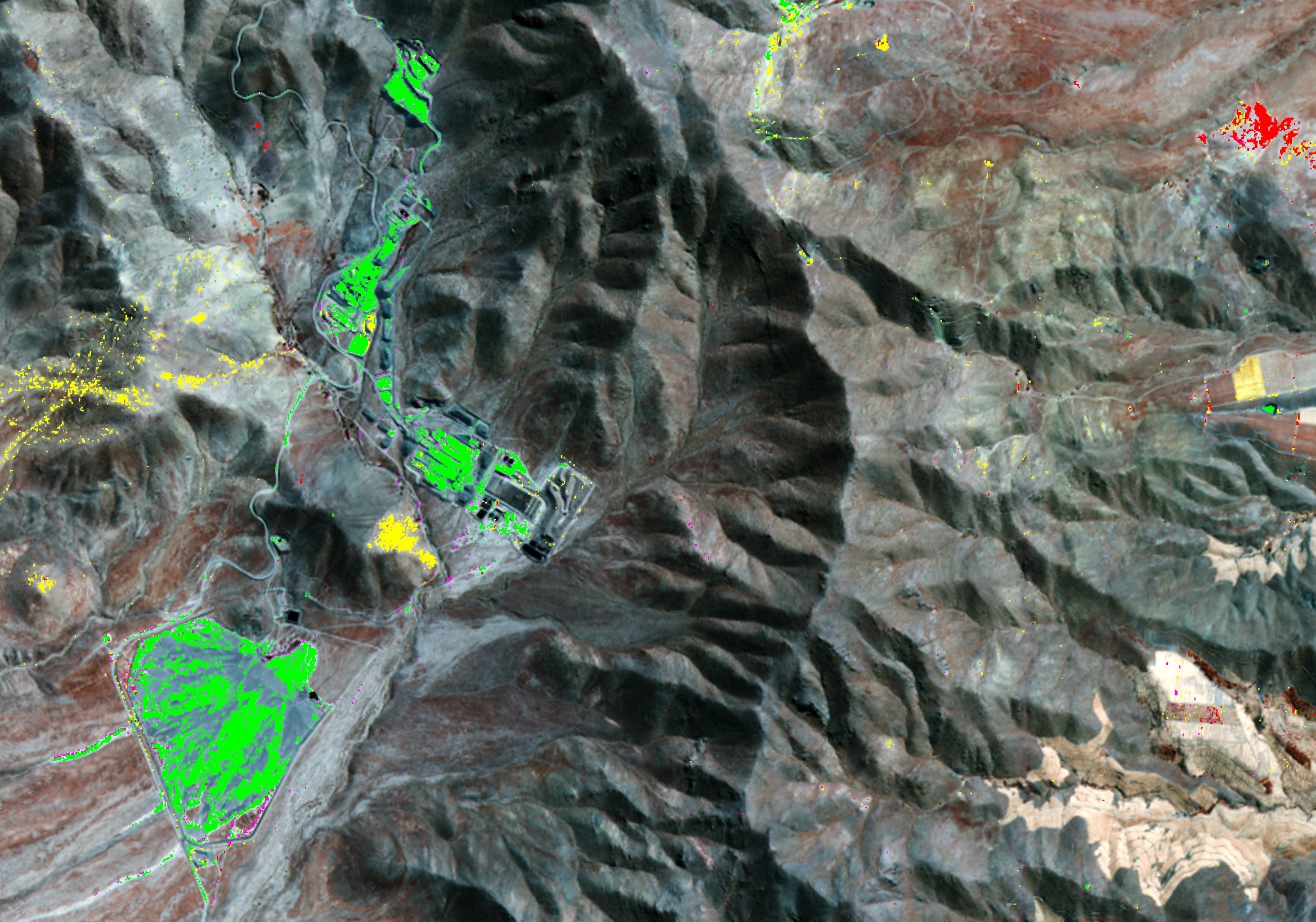
Our worldwide, multi-disciplinary geoscience data, innovative technology and geothermal experts support the evaluation and de-risking of geothermal prospects, from exploration to production. With more than 150 targeted geothermal projects and 2 geothermal global resource assessments since 2011, our proven geothermal intelligence can help you meet your geothermal challenges with confidence.
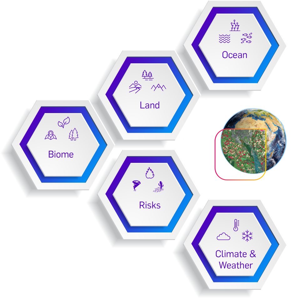
Our comprehensive portfolio includes global geothermal data and analytics, resource exploration and assessment, geothermal reservoir characterization and production and monitoring solutions. Contact us today to find out more: geothermal@cgg.com
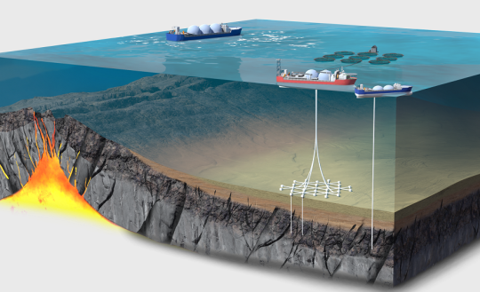
Offshore Geothermal: A Green Energy Resource of Global Significance and its Responsible Development
Download the latest whitepaper for a summary of the marine geothermal system and co-production opportunities, an overview of where geothermal can be deployed, best practices for responsible development of offshore geothermal, and growth opportunities that offshore geothermal can bring to developing nations.
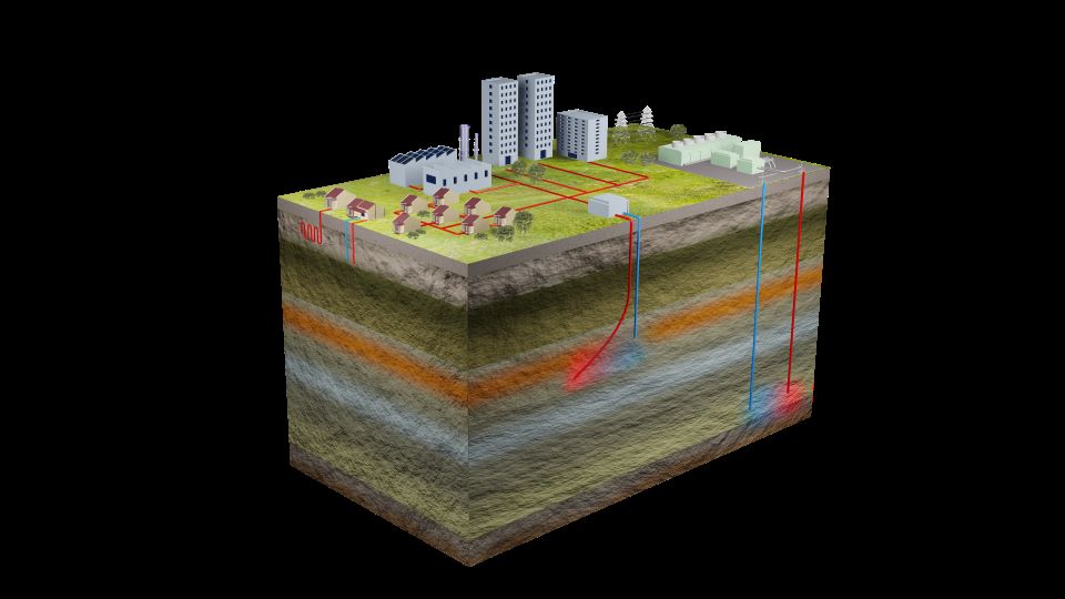
Reduce Risk Across Geothermal Exploration, Development and Production
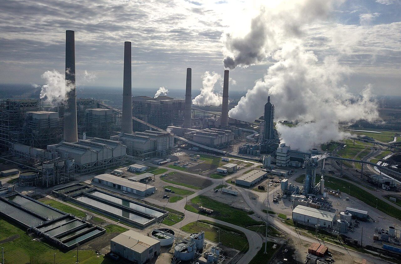
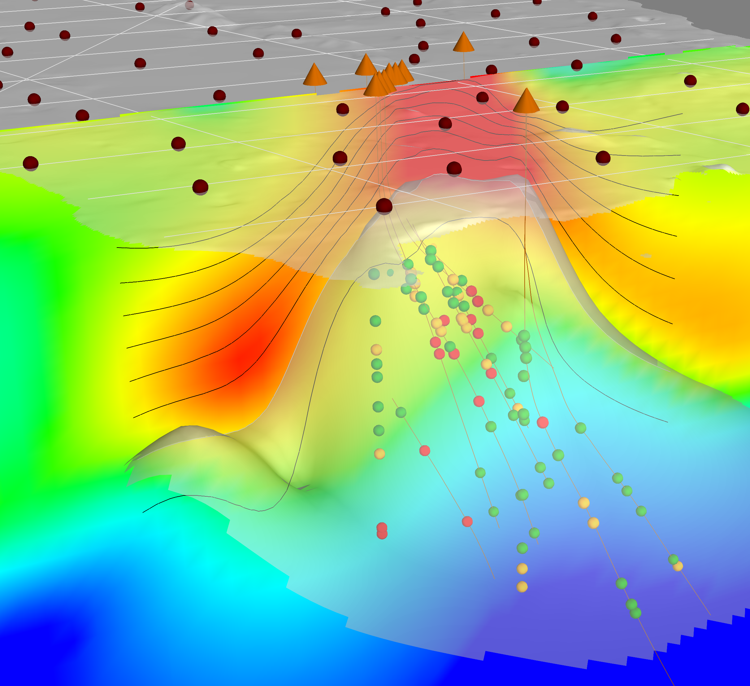
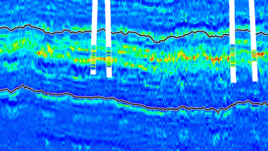
In already-explored hydrocarbon basins or in locations where demand for alternative energy is high, our geothermal services help you characterize the subsurface and monitor operations for optimal production and reduced risk.

Featured Content: Rapid Deployment of Global Geothermal Energy - Challenges and Opportunities
In this recording of a recent live broadcast SPE Tech Talk, Dr. Ellie MacInnes provides insight on how the rapid expansion of geothermal energy around the world can support our net-zero targets. She also discusses some current geothermal challenges and how they are being addressed with geoscience data, technology, and expertise.

Geothermal Services for the Transition to a Lower-Carbon Future
Download our latest flyer to learn how our geothermal services can help you understand and de-risk geothermal energy prospects, from exploration to production, with multidisciplinary geoscience data, technology and expertise.
CGG Geothermal Solutions - Latest News
Catch up on the latest stories by clicking the links below. For all geothermal news, visit our newsroom.
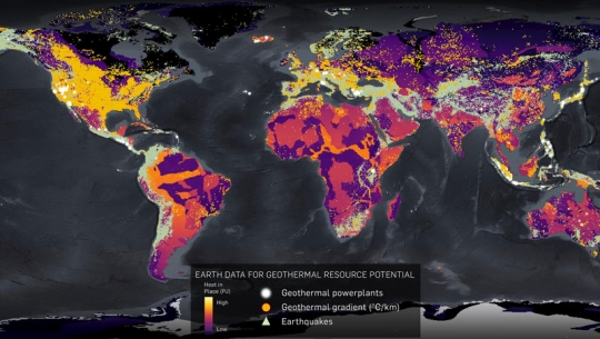

Worldwide Experience with Over 150 Geothermal Projects & 2 Global Resource Assessments