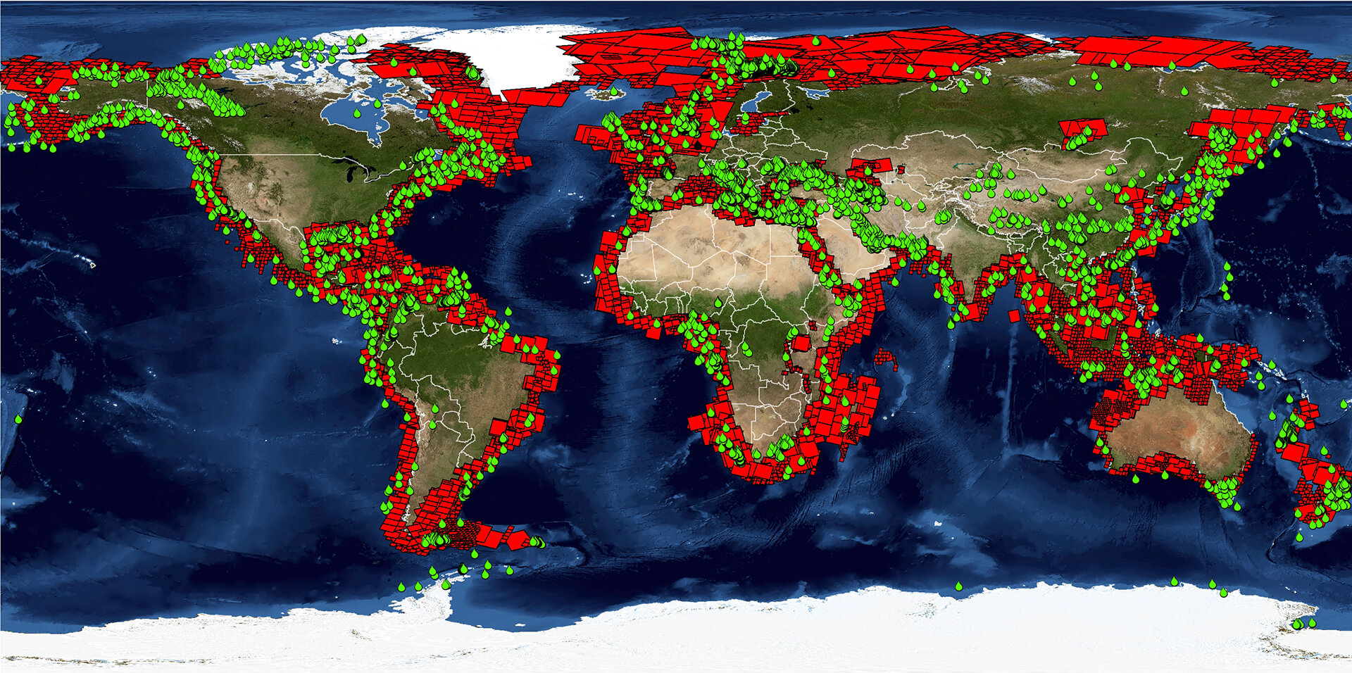
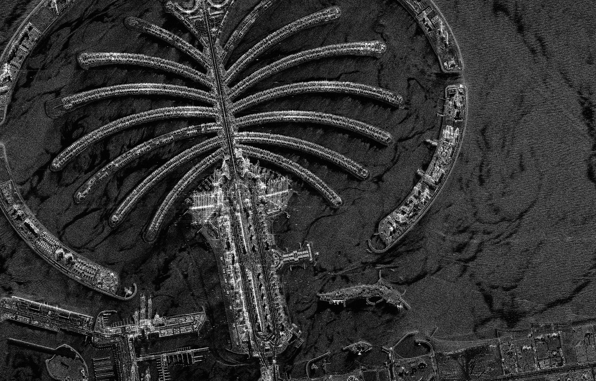
Satellite Mapping
We harness the unique capabilities of Earth observation satellites to address a diverse range of challenges faced by the Energy, Mining, Engineering, Environment and Defense sectors.

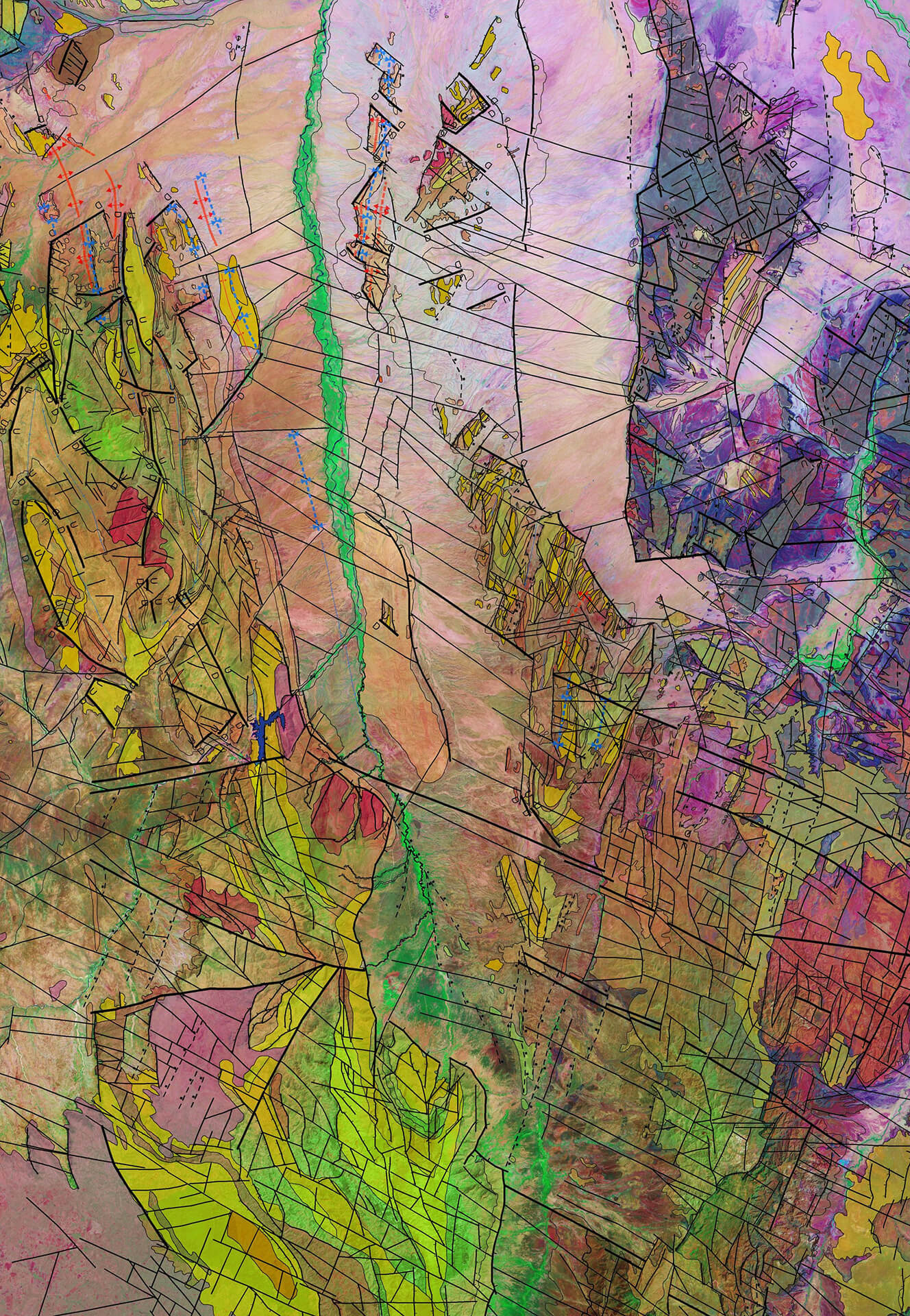
The Best Imagery and Elevation Data
Our knowledge and experience provides an easy means of navigating the increasingly complex world of satellite imagery and elevation data. Our status as an independent supplier for satellite operators around the globe guarantees comprehensive and impartial advice, every time.
Our knowledge and experience provide an easy means of navigating the increasingly complex world of satellite imagery and elevation data. Our status as an independent supplier for satellite operators around the globe guarantees comprehensive and impartial advice, every time.

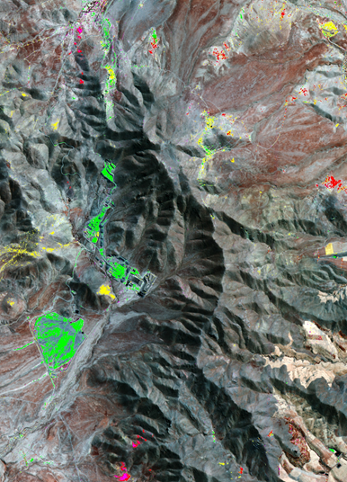
Unlocking Intelligence
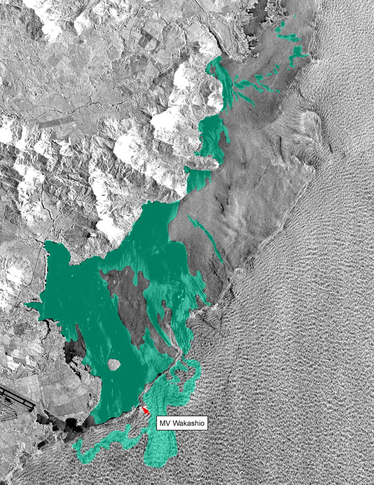
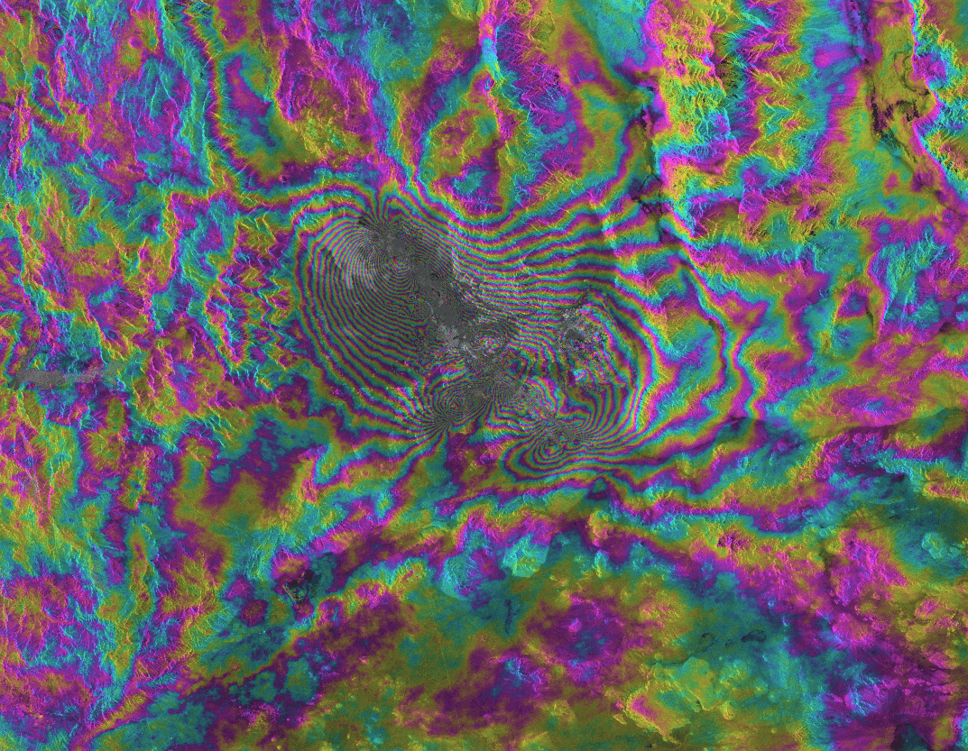
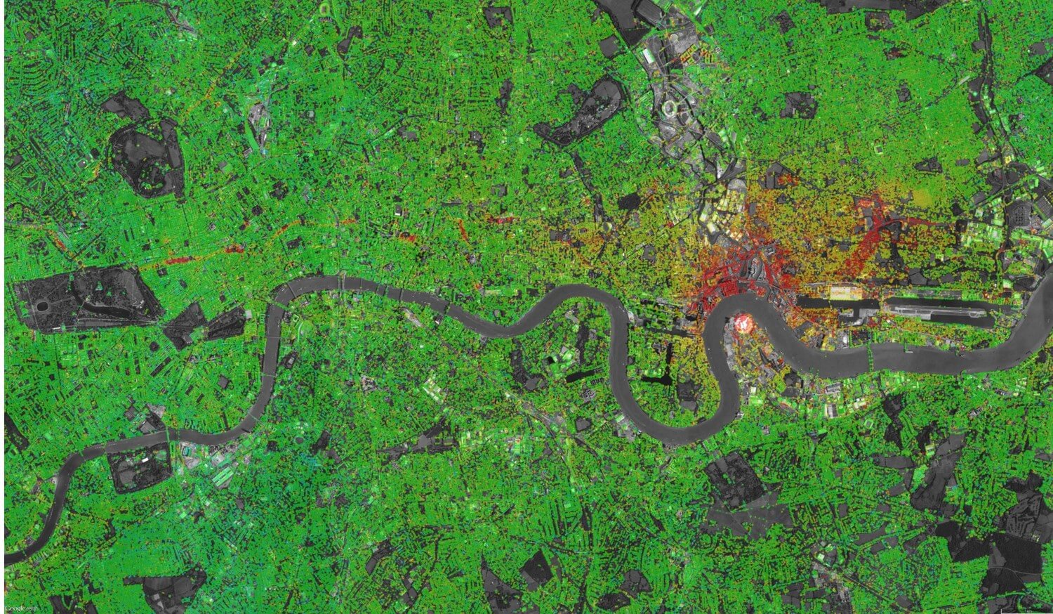
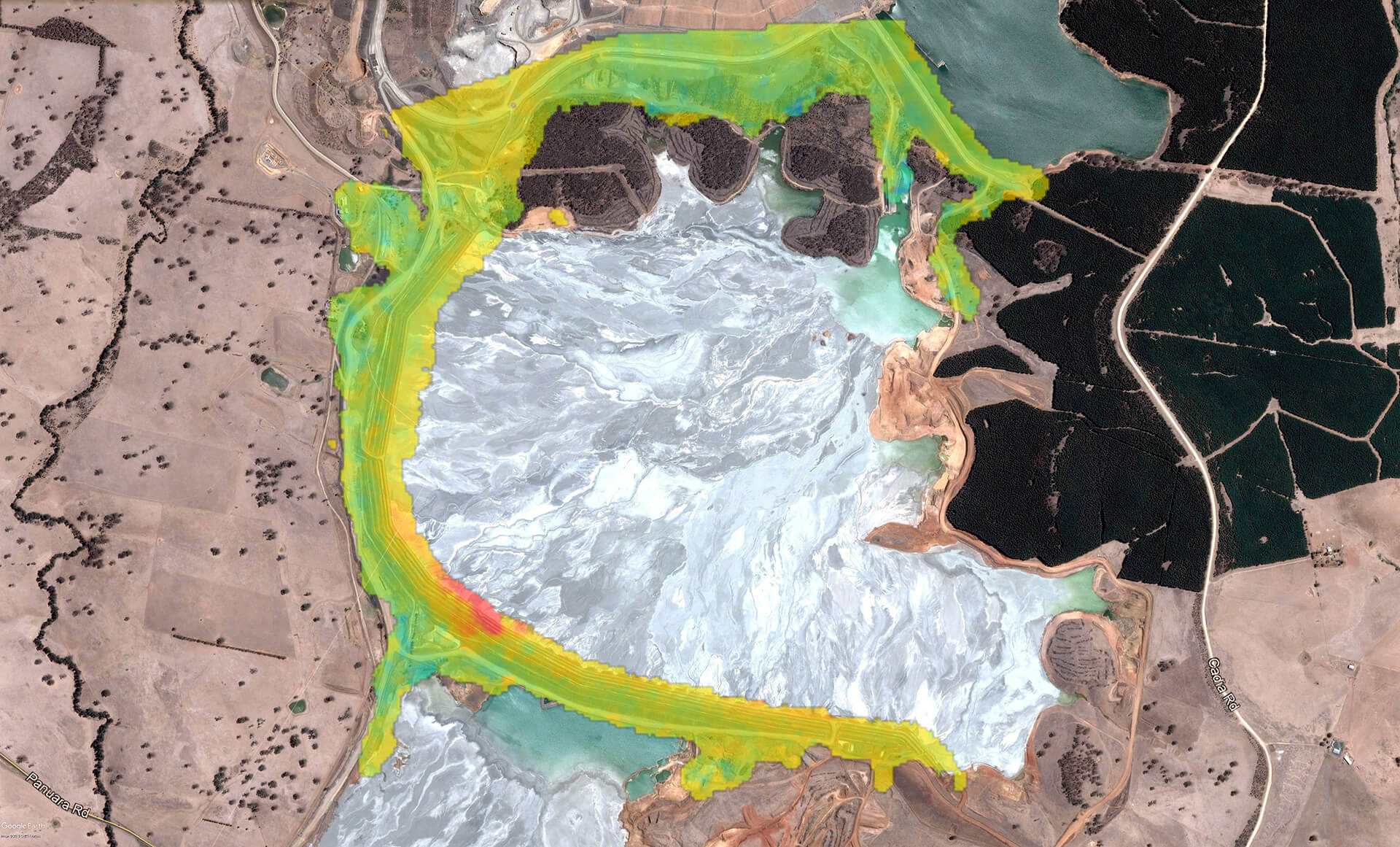
Our technology and expertise transform satellite image pixels into actionable information, reducing risk and uncertainty across a variety of applications and markets including Energy, Mining, Engineering, Environment and Defense. Our deep remote sensing expertise is combined with state-of-the-art artificial intelligence approaches and high-performance computing to address the big data opportunities contained within vast, ever-growing imagery archives.